- All Categories (3)
- News (1)
- Events (1)
- Tools (1)
Event - Training
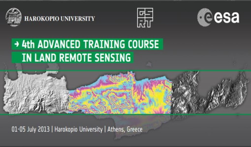
4th Advanced Training Course in Land Remote Sensing
ESA organised the 4th Advanced Training Course in Land Remote Sensing which took place in Athens, Greece from 1 to 5 July 2013
Tools - Other
Forestry TEP
The Forestry Thematic Exploitation Platform (TEP) enables users in the forestry sector to access satellite data based processing services and tools for generating value-added forest information products.
News - Thematic area articles
Remote sensing data map impacts of natural hazards
As climate change increases the frequency and severity of natural disasters, remote sensing data can warn about extreme events and help tackle emergency situations.

