- All Categories (35)
- Data (2)
- News (8)
- Missions (5)
- Events (3)
- Tools (1)
- Activities (4)
- Documents (12)
Document - Proceedings
Advances-in-Atmospheric-Science-and-Applications.pdf
Proceedings in Advances in Atmospheric Science and Applications held in 18-22 June 2012 in Bruges, Belgium.
Document - General Reference
BIOMASS-Report-for-Mission-Selection-An-Earth-Explorer-to-observe-forest-biomass.pdf
The objective of the BIOMASS Mission is to determine the global distribution of forest biomass by reducing the uncertainty in the calculation of carbon stock and fluxes associated with the terrestrial biosphere.
Document - Proceedings
ERS-Envisat-symposium-proceedings.pdf
This document contains the proceedings of the ERS-Envisat Symposium, which took place in 2000.
Document - Proceedings
EO-Summer-School-3-Modelling-emissions-from-vegetation-wildfires.pdf
This presentation from ESA's EO Summer School 3 describes the theory and practical implementations modelling emissions from vegetation wildfires
Document - General Reference
CoReH2O-Report-for-Mission-Selection-An-Earth-Explorer-to-observe-snow-and-ice.pdf
This report describes the CoReH2O (Cold Regions Hydrology high-resolution Observatory) mission, which was selected for feasibility study in the third cycle of Earth Explorers.
Document - User Guide
Third Party Missions, Cat-1 Data Availability
This brochure gives a quick overview on the availability of the Third Party Missions IRS-P3, JERS-1, NIMBUS, Proba, Landsat, KOMPSAT-1, SCISAT-1, Terra/Aqua, NOAA, QSCAT, OrbView, SPOT-1,-2,-3,-4, ALOS.
Document - User Guide
SHARP-Level-2-User-Guide.pdf
This document provides the user with detailed description of data treatment performed during NOAA SHARP Level-2 generation and explanation and examples of how to read SHARP Level-2 data and extract information.
Document - Conference Presentation - Poster
8-Use_SAR_observing_Polar_lows.pdf
Use of SAR in observing Polar lows Birgitte Furevik (Norwegian Meteorological Inst., Norway)
Document - Conference Presentation - Poster
EO-Summer-School-5-Poster-SST-decrease-on-the-San-Matí-Gulf-coast-Argentina.pdf
This poster from ESA's EO Summer School 5 describes SST decrease on the San Matías gulf coast, Argentina. Possible upwelling events.
Event - Workshop
Applications of the ERS Along Track Scanning Radiometer Workshop 1999
The workshop on ERS mission's Along Track Scanning Radiometer (ATSR) instrument gathered researchers and specialists working on different applications of the mission.
Mission - Meteorological Missions
MetOp
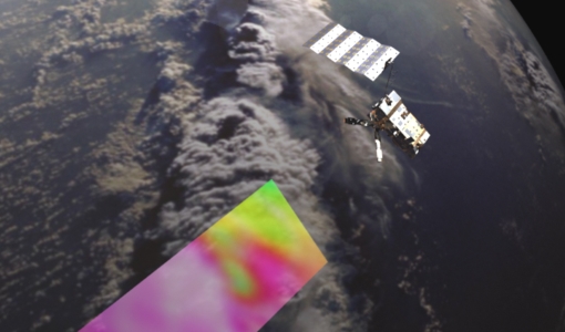
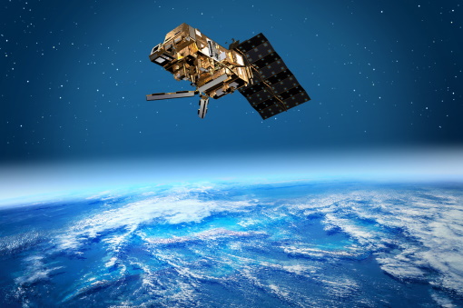
MetOp is a mission dedicated to improving weather forecasts and monitoring Earth's climate.
Event - Conference
Living Planet Symposium 2019
ESA's Living Planet Symposia are amongst the biggest Earth observation conferences in the world. Scientists present their latest findings on Earth's environment and climate.
Document - User Guide
SHARK Technical Reference Manual
The SHARK Technical Reference Manual provides detailed information on the organisation and workings of the SHARK Software Environment and the hardware on which it runs. SHARK is a standalone system that processes HRPT data transmitted from the TlROS-N/NOAA polar orbiting meteorological satellites.
Activity - Projects
Auroral Electrojet and auroral Boundaries estimated from Swarm observations
In the Swarm-AEBS project, a set of new Swarm data products that characterise the auroral electrojets and auroral oval boundaries will be derived from Swarm magnetic field measurements.
Tools - Other
Swarm-Aurora
Swarm-Aurora, a web-based tool, was designed to facilitate and drive the use of Swarm in-situ measurements in auroral science.
Mission - Heritage Missions
NOAA POES
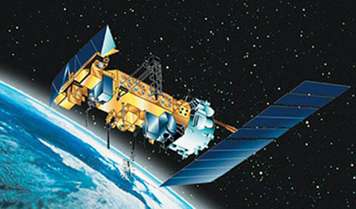
NOAA's AVHRR sensor is carried on the POES mission, a constellation of polar orbiting weather satellites.
Mission - Earth Explorers
GOCE
ESA's Gravity field and Ocean Circulation Explorer (GOCE) mission mapped Earth's geoid very accurately, opening a window into Earth's interior structure as well as the currents circulating within the depths of its oceans.
Mission - Earth Explorers
Swarm
Swarm is dedicated to creating a highly detailed survey of Earth’s geomagnetic field and its temporal evolution as well as the electric field in the atmosphere using a constellation of three identical satellites.
News - Success Stories
Forty years of heritage data highlight warming European lakes
In the last decade, climate change has taken centre stage in both the public and scientific arenas, as increasingly extreme weather and human impact on the environment have become more apparent.
Document - Product Handbook
AVHRR-Handbook.pdf
The AVHRR user handbook provides details about the content of the consolidated and harmonised data set archived at ESA facilities.


