- All Categories (17)
- Data (2)
- News (1)
- Missions (5)
- Tools (3)
- Documents (6)
News - Data Release news
KOMPSAT-1 Coverage of 50 European Cities Collection Accessible to Users
The European Space Agency (ESA) is delighted to announce the availability of the KOMPSAT-1 Coverage of 50 European Cities collection to users as part of the Earthnet's Third Party Mission Programme.
Mission - Heritage Missions
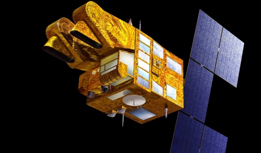
KOMPSAT-1
KOMPSAT-1 (Korean Multi-Purpose Satellite), also known as Arirang-1, was a South Korean Earth observation satellite which was launched on 21 December 1999. KOMPSAT-1 operated for eight years until satellite operations ceased on 30 December 2007 due to a loss of contact.
Tools - Catalogues
FedEO
FedEO is a data catalogue that provides a unique entry point to a number of scientific catalogues and services for, but not limited to, European and Canadian missions.
Tools - Catalogues
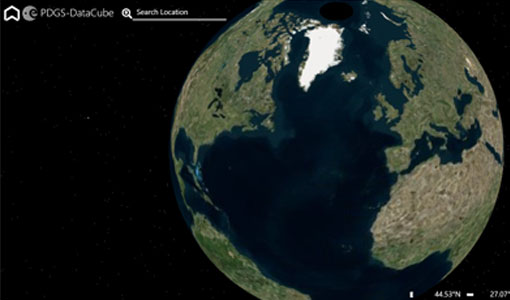
ESA PDGS DataCube
ESA's DataCube is a data catalogue that enables multi-temporal and pixel-based access to a subset of data available from ESA
Tools - Catalogues
EO CAT
EO CAT is a data catalogue, offering a Next Generation Earth Observation system designed to manage end-user Earth Observation services.
Data - EO Sign In Authentication (Open)
KOMPSAT-1 Coverage of 50 European Cities
Available as a single coverage collection of data over 50 European Cities acquired by KOMPSAT-1’s Electro-Optical Camera (EOC) geolocated and orthorectified. The dataset is composed by PAN imagery at 6.6 m GSD, in GeoTIFF orthorectified format.
Data - Fast Registration with approval (Restrained)
SPOT 1-5 ESA archive
The ESA SPOT 1-5 collection is a dataset of SPOT 1 to 5 Panchromatic and Multispectral products that ESA collected over the years. The HRV(IR) sensor onboard SPOT 1-4 provides data at 10 m spatial resolution Panchromatic mode (-1 band) and 20 m (Multispectral mode -3 or 4 bands). The HRG sensor on board of SPOT-5 provides spatial resolution of the imagery to < 3 m in the panchromatic band and to 10 m in the multispectral mode (3 bands). The SWIR band imagery remains at 20 m. The dataset mainly focuses on European and African sites but some American, Asian and Greenland areas are also covered. Spatial coverage: Check the spatial coverage of the collection on a map available on the Third Party Missions Dissemination Service. The SPOT Collection
Mission - Heritage Missions
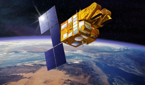
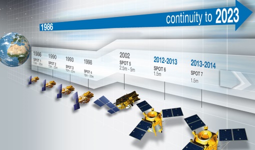
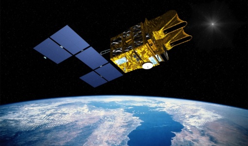
SPOT
The SPOT (from French "Satellite pour l'Observation de la Terre") series of missions has been supplying high-resolution, wide-area optical imagery since 1986.
Mission - Heritage Missions
SPOT 3
SPOT 3, like all the SPOT missions, was aimed at supplying high-resolution, wide-area optical imagery.
Mission - Heritage Missions
SPOT 2
SPOT 2, like all the SPOT missions, was aimed at supplying high-resolution, wide-area optical imagery.
Mission - Heritage Missions
SPOT 1
SPOT 1 was designed to improve the knowledge and management of Earth's resources, detecting and forecasting phenomena involving climatology and oceanography, and monitoring human activities and natural phenomena.
Document - Proceedings
Advances-in-Atmospheric-Science-and-Applications.pdf
Proceedings in Advances in Atmospheric Science and Applications held in 18-22 June 2012 in Bruges, Belgium.
Document - General Reference
BIOMASS-Report-for-Mission-Selection-An-Earth-Explorer-to-observe-forest-biomass.pdf
The objective of the BIOMASS Mission is to determine the global distribution of forest biomass by reducing the uncertainty in the calculation of carbon stock and fluxes associated with the terrestrial biosphere.
Document - General Reference
Earth-Watching-Anthology.pdf
This brochure gives an overview of the Earth Watching project, which aims not only to show natural disasters, but also to promote various satellite remote sensing applications through images and articles for newspapers, magazines and TV stations.
Document - General Reference
Earth-from-Space-Russia-and-Ukraine.pdf
This brochure is a collection of KOMPSAT EOC; ERS-2 SAR; Envisat ASAR, MERIS and Proba CHRIS, HRC mosaics.
Document - General Reference
CoReH2O-Report-for-Mission-Selection-An-Earth-Explorer-to-observe-snow-and-ice.pdf
This report describes the CoReH2O (Cold Regions Hydrology high-resolution Observatory) mission, which was selected for feasibility study in the third cycle of Earth Explorers.
Document - User Guide
Third Party Missions, Cat-1 Data Availability
This brochure gives a quick overview on the availability of the Third Party Missions IRS-P3, JERS-1, NIMBUS, Proba, Landsat, KOMPSAT-1, SCISAT-1, Terra/Aqua, NOAA, QSCAT, OrbView, SPOT-1,-2,-3,-4, ALOS.

