- All Categories (8)
- News (2)
- Events (4)
- Tools (1)
- Documents (1)
News - Thematic area articles
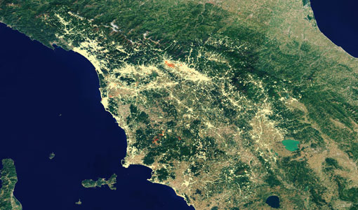
Tracking the world’s forests from space
As human activities continue to threaten the planet’s forests, data delivered by satellites are boosting global efforts to conserve these crucial natural resources.
News - Thematic area articles
How scientists use space data to help advance the energy transition
Scientists are using remote sensing data disseminated by ESA to support the green transformation of world’s power generation infrastructure.
Tools - Other
Geohazards TEP
The Geohazards Thematic Exploitation Platform (TEP) aims to provide Earth observation data for supporting geohazards applications.
Event - Workshop
SEASAR 2012
The European Space Agency and the Norwegian Space Centre jointly organised the fourth SAR oceanography workshop, 'SEASAR 2012', entitled 'Advances in SAR Oceanography'.
Event - Workshop
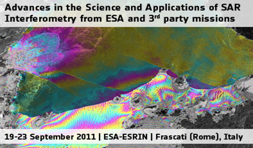
Fringe 2011 Workshop
Fringe 2011 was the 8th International Workshop on "Advances in the Science and Applications of SAR Interferometry".
Event - Training
2nd Advanced Training Course on Land Remote Sensing 2009
This 2009 advanced ESA training course focused on land remote sensing theory and applications.
Event - Workshop
POLinSAR 2009
The 2009 workshop focused on theory and methods in the fields of SAR Polarimetry and Polarimetric Interferometry
Document - Proceedings
Fringe-2011-workshop-session-summaries.pdf
This document contains the session summaries from the session summaries of the Fringe 2011 workshop.


