- Learn & Discover
- How Envisat helped to shape global understanding of Earth’s systems
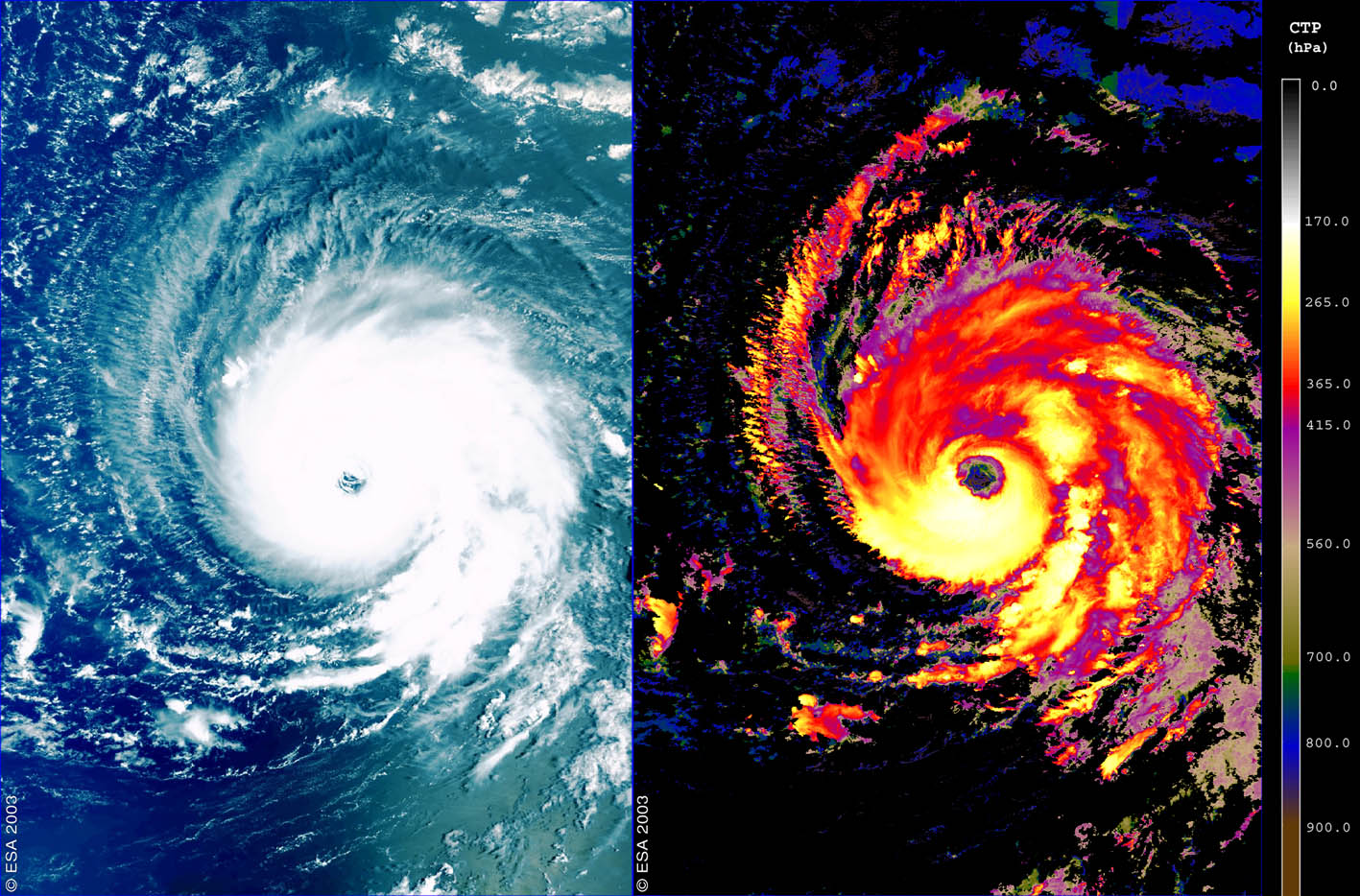
- Envisat reveals the extent of ...
Envisat reveals the extent of Hurricane Isabel
01 Mar 2022
Title: : Envisat reveals the extent of Hurricane Isabel
Description: These images – collected in 2003 by Envisat’s Medium Resolution Imaging Spectrometer (MERIS) instrument – show Hurricane Isabel some 2000 kilometres east of the Leeward Islands, moving west-northwest across the Atlantic Ocean at about 22.5 kilometres an hour.
Copyright: ESA