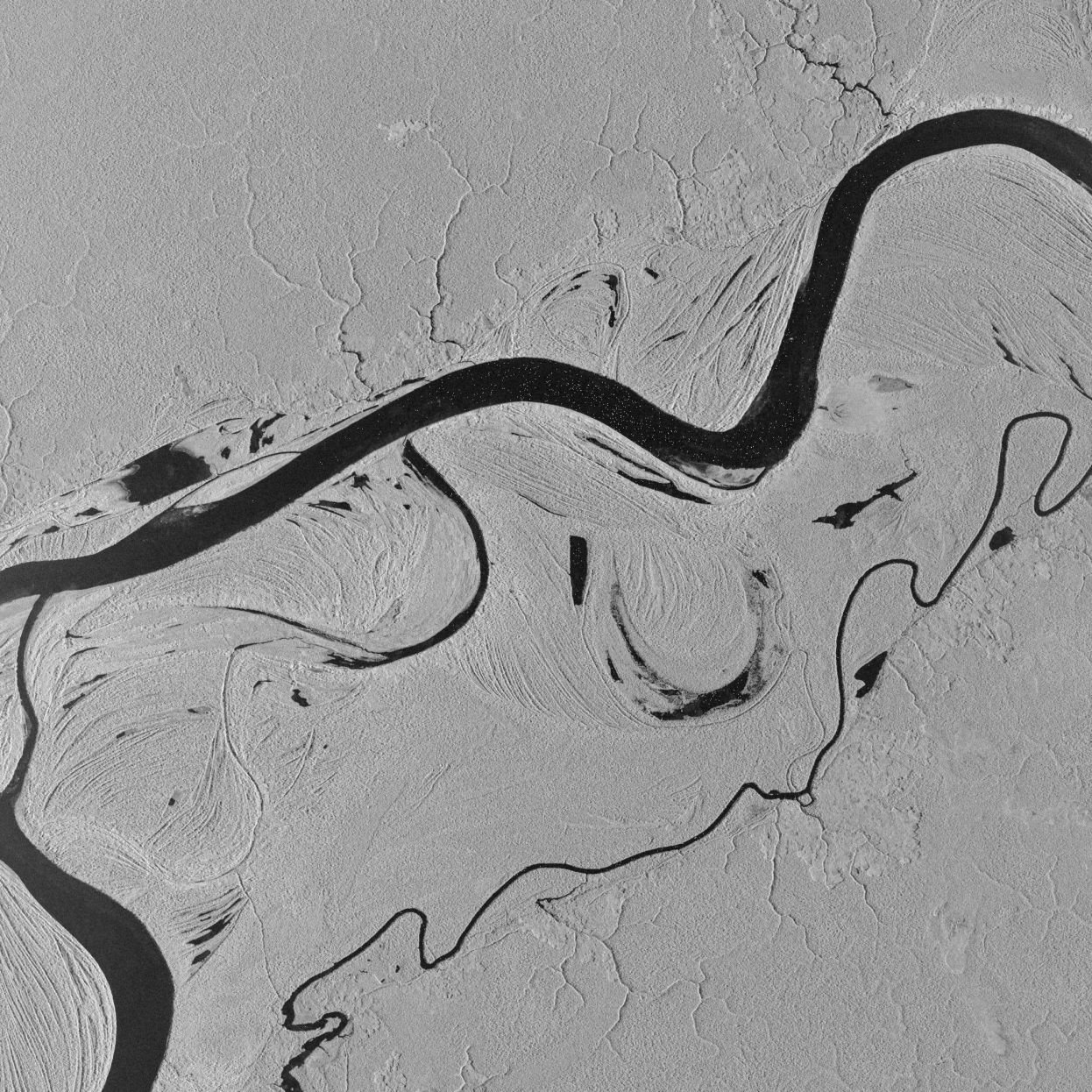
The image is a Synthetic Aperture Radar (SAR) satellite image of the Port of Dampier in Western Australia, captured by ICEYE on 30 December 2020. It was acquired in Spotlight mode with a 1-metre ground range resolution.
The heavy industrial port infrastructure includes major iron ore export terminals at Parker Point (top) and East Intercourse Island (bottom left). Because metal structures are highly reflective to radar signals, they appear intensely bright white.
Scattered across the darker water are small, bright white dots. These are cargo ships, bulk carriers, and tugboats anchored or moving through the channels. Their metallic hulls bounce the radar energy directly back to the satellite sensor.
The rugged texture of the land highlights the rocky terrain characteristic of both the mainland and surrounding Dampier Archipelago islands. In the lower-right section, orderly grid-like patterns and lighter textures map out the residential areas.