- Campaigns
- WindVal III
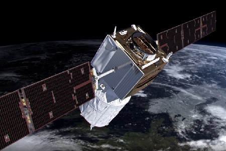
WindVal III
Overview
What was the purpose of Wind Val III?
The WindVal III campaign objectives were derived from results, experience and lessons learnt of the last airborne campaigns in 2009, 2015 and 2016. The objectives were:
- Early correlative observations between Aeolus and the airborne A2D and 2-µm DWL wind lidar systems
- Rehearsal for Aeolus Cal/Val activities (satellite underpasses, ground-truth overflights, air traffic control limitations)
- Test of airborne lidar response calibrations over land, Zero-Wind Calibration and ground returns strongly varying terrain
- Verification of airborne instrument modifications
- Provide feedback on measurement and comparison strategies and procedures of data collection for future campaigns
- Extend lessons learnt from previous campaigns
What was the outcome of Wind Val III?
The WINDVAL III campaign extended the work and analyses to include first airborne measurements collocated with Aeolus over Europe during fall 2018.
Download the Wind Val III Final Report
| Data Coverage (Year) | November/December 2018 |
| Release Date | September 2019 |
| Geographic Site | Central Europe |
| Field of Application | Airborne wind lidar and aerosol data |
| Data Size | 1.5 GB |
Digital Object Identifier: https://doi.org/10.5270/esa-d8umfs9 - WindVal III: "WindVal III Final Report (FR)"
Data
The campaign data is available online via FTPS upon submission of a data access request. An active EO Sign In account is required to submit the request.
The data can be downloaded via an FTP client (e.g., FileZilla or WinSCP) using the option "Implicit FTP over TLS".
For further information about the EO Sign In Service you can visit TellUs
Should you need support please contact EOHelp