- Campaigns
- WindVal I
WindVal I
Overview
What was the purpose of Wind Val I?
The objectives for the Wind Val I campaign in 2015 were derived from results, experience and lessons learnt from the last airborne campaign in 2009. The main campaign objectives were to:
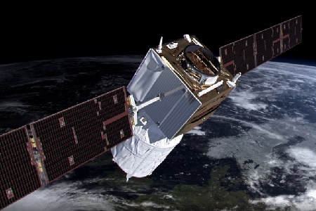
- Confirm and document the technical performance of the ALADIN Airborne Demonstrator (A2D) lidar and its suitability for the foreseen calibration/validation of ADM-Aeolus
- Extend existing datasets on response calibrations over favourable areas for Aeolus calibrations, e.g. ice or land with high surface albedo in nadir-pointing mode
- Extend existing datasets on Rayleigh and Mie wind observations. This shall include measurements in highly variable atmospheric conditions (vert./hor.) w.r.t. wind and clouds
- Rehearsal for airborne Cal/Val activity after launch with focus on flight
- Test Aeolus satellite measurement-track predictions and airborne
- Enhance and test capabilities for quick-look data processing
- Coordination with other aircrafts and ground validation sites
- Demonstrate complementarities and synergies between different measurement techniques utilized aboard the same platform, from co-located platforms and on-ground during the campaign
- Demonstrate the performance and adequacy of the A2D data processing chain for the foreseen Aeolus CAL/VAL campaigns
- Provide feedback on measurement strategies and procedures of data collection for future campaigns
- Extend lessons learnt from previous campaigns
- Perform at least one flight under the satellite track of TDS-1 to achieve co-located satellite measurements of wind vectors with airborne wind lidars.
What was the outcome of Wind Val I?
All the major objectives were achieved. In the final report, two tables summarise the objectives and an assessment of the achievements.
Download the WindVal I Final Report
| Data Coverage (Year) | 2015 |
| Release Date | November 2017 |
| Geographic Site | Iceland, Greenland, North Atlantic |
| Field of Application | Airborne wind lidar data |
| Data Size | 630 GB (300 Mb aircraft data) |
| LIDAR data | Available |
Digital Object Identifier: https://doi.org/10.5270/esa-uc463ur - WindVal I: "Final Report FR Joint DLR-ESA-NASA Wind Validation for Aeolus"
Data
The campaign data is available online via FTPS upon submission of a data access request. An active EO Sign In account is required to submit the request.
The data can be downloaded via an FTP client (e.g., FileZilla or WinSCP) using the option "Implicit FTP over TLS".
For further information about the EO Sign In Service you can visit TellUs
Should you need support please contact EOHelp