- Campaigns
- LOSAC
LOSAC
Overview
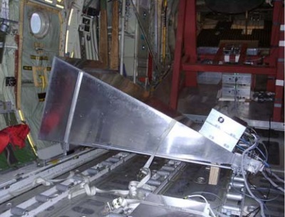
Position during take-off and landing.
What was the purpose of LOSAC?
L-band Ocean Salinity Airborne Campaign (LOSAC) is a part of the preparation for ESA's SMOS mission, and the overall interest is to understand the nature of the wind driven signatures in order to evaluate, if corrections are necessary prior to salinity estimations based on the radiometer signals.
What was the outcome of LOSAC?
The LOSAC campaign was planned to identify eventual azimuth dependence over a full circle signature, carried out over the ocean. This has been done in six flights, providing six different wind conditions. At first sight all data show large peak-to-peak variations, typically in the order of many Kelvin. From a single circle, the identification of polarimetric signatures in the order of 100 mK is hence difficult or impossible.
Download the LOSAC campaign final report
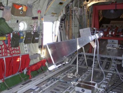
position at 23 degree depression angle.
| Data Coverage (Year) | 2000-2002 |
| Geographic Site | North Sea |
| Field of Application | Ocean |
| Data Size | 0.8 MB |
| Workshop Proceedings | esa sp-525 |
Digital Object Identifier: https://doi.org/10.5270/esa-9nacho8 - LOSAC: "The L-band Ocean Salinity Airborne Campaign, LOSAC"
Data
The campaign data is available online via FTPS upon submission of a data access request. An active EO Sign In account is required to submit the request.
The data can be downloaded via an FTP client (e.g., FileZilla or WinSCP) using the option "Implicit FTP over TLS".
For further information about the EO Sign In Service you can visit TellUs
Should you need support please contact EOHelp