- All Categories (378)
- Data (2)
- News (3)
- Missions (3)
- Tools (2)
- Activities (1)
- Documents (367)
Mission - Heritage Missions
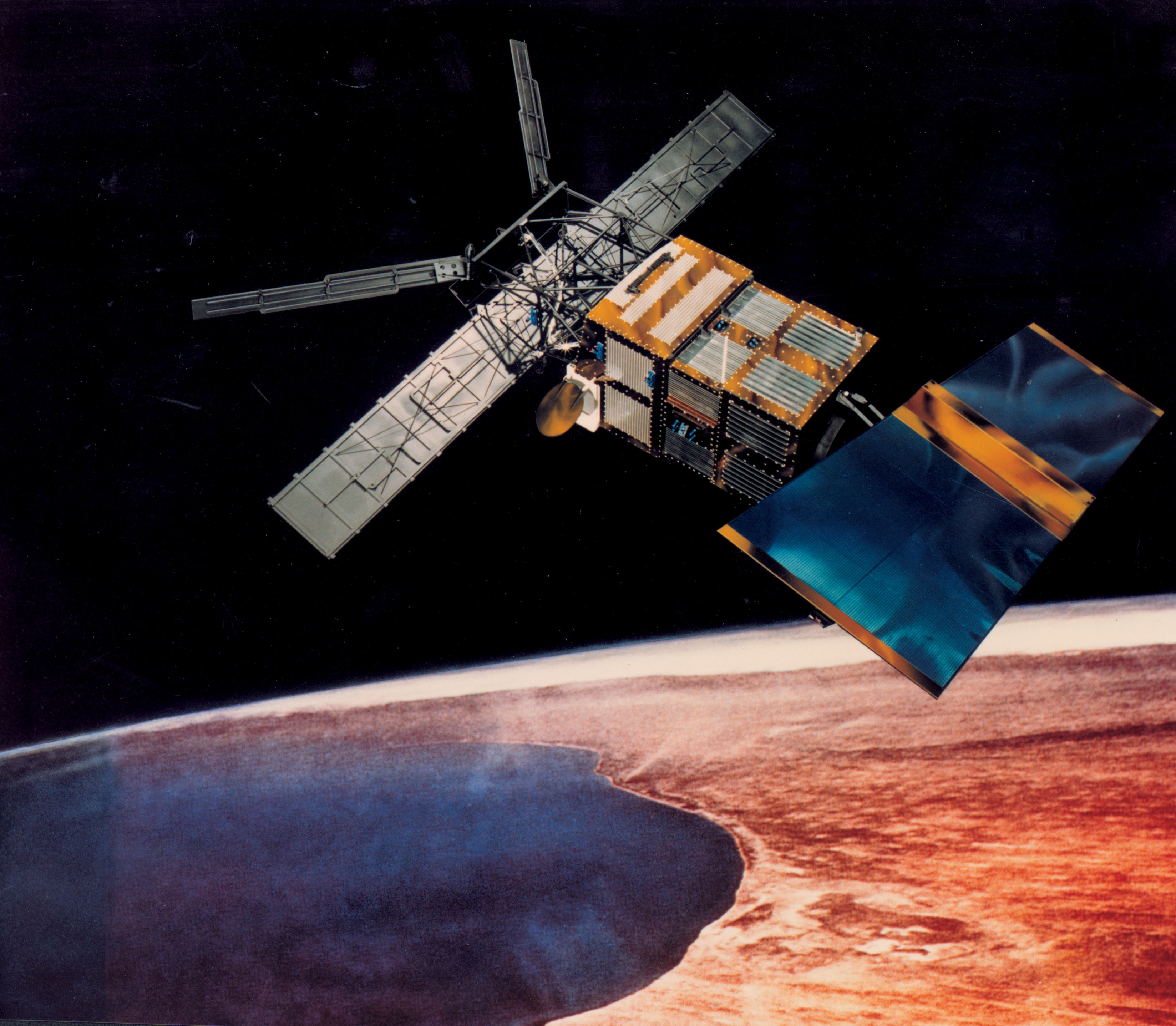
ERS
The ERS programme was composed of two missions, ERS-1 and ERS-2, which together observed the Earth for 20 years, from 1991 to 2011.
Mission - Earth Explorers
GOCE
ESA's Gravity field and Ocean Circulation Explorer (GOCE) mission mapped Earth's geoid very accurately, opening a window into Earth's interior structure as well as the currents circulating within the depths of its oceans.
Data - Fast Registration with immediate access (Open)
ERS-2 SCATTEROMETER Surface Soil Moisture Time Series and Orbit product in High and Nominal Resolution [SSM.H/N.TS - SSM.H/N]
Surface soil moisture records are derived from the backscatter coefficient measured by the Scatterometer on-board the European Remote Sensing satellite (ERS-2) using the Technische Universität (TU) Wien soil moisture retrieval algorithm called WARP (WAter Retrieval Package). In the WARP algorithm, the relative surface soil moisture estimates, given in degree of saturation Sd, range between 0% and 100% are derived by scaling the normalized backscatter between the lowest/highest backscatter values corresponding to the driest/wettest soil conditions. Surface Soil Moisture - Time Series product: The products generated are the surface soil moisture time series, where for each grid point defined in a DGG (Discrete Global Grid) is stored the time series of soil moisture and its noise, the surface state flag, the geolocation and the satellite parameters. The spatial resolution of the products is about 25 km x 25 km (high resolution) or 50 km x 50 km (nominal resolution) geo-referenced on the WARP grid. The location of the points can be viewed interactively with the tool DGG Point Locator. Surface Soil Moisture - Orbit product: In addition to WARP, a second software package, referred to as WARP orbit, was developed in response to the strong demand of soil moisture estimates in satellite orbit geometry. The Level 2 soil moisture orbit product contains a series of Level 1 data information, such as the backscatter, the incidence angle and the azimuth angle for each triplet together with the surface soil moisture and its noise, normalized backscatter at 40° incidence angle, parameters useful for soil moisture, the geolocation and the satellite parameters. The soil moisture orbit product is available in two spatial resolutions with different spatial sampling distances: Spatial sampling on a regular 12.5 km grid in orbit geometry with a spatial resolution of about 25 km x 25 km (High resolution) Spatial sampling on a regular 25 km grid in orbit geometry with a spatial resolution of about 50 km x 50 km (Nominal resolution). The spatial resolution is defined by the Hamming window function, which is used for re-sample of raw backscatter measurements to the orbit grid in the Level-1 ground processor. Please consult the Product Quality Readme file before using the ERS-2 Surface Soil Moisture data.
Mission - Copernicus Sentinels
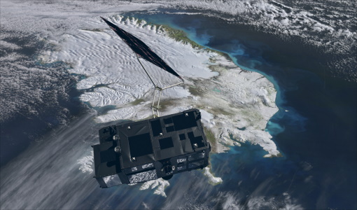
Copernicus Sentinel-3
Copernicus Sentinel-3 is an European Earth Observation satellite mission developed to support Copernicus ocean, land, atmospheric, emergency, security and cryospheric applications.
Document - Quality Report
ERS-2 AMI-Scatterometer Cyclic Report 07 Dec 2009
ERS-2 AMI-Scatterometer Cyclic Report
Document - Quality Report
ERS-2 AMI-Scatterometer Cyclic Report 02 Nov 2009
ERS-2 AMI-Scatterometer Cyclic Report
Document - Quality Report
ERS-2 AMI-Scatterometer Cyclic Report 22 Dec 2008
ERS-2 AMI-Scatterometer Cyclic Report
Document - Quality Report
ERS-2 AMI-Scatterometer Cyclic Report 22 Nov 2010
ERS-2 AMI-Scatterometer Cyclic Report
Document - Quality Report
ERS-2 AMI-Scatterometer Cyclic Report 17 Nov 2008
ERS-2 AMI-Scatterometer Cyclic Report
Document - Quality Report
ERS-2 AMI-Scatterometer Cyclic Report 29 Oct 2007
ERS-2 AMI-Scatterometer Cyclic Report
Document - Quality Report
ERS-2 AMI-Scatterometer Cyclic Report 27 Dec 2010
ERS-2 AMI-Scatterometer Cyclic Report
Document - Quality Report
ERS-2 AMI-Scatterometer Cyclic Report 03 Dec 2007
ERS-2 AMI-Scatterometer Cyclic Report
Document - Quality Report
ERS-2 AMI-Scatterometer Cyclic Report 21 May 2011
ERS-2 AMI-Scatterometer Cyclic Report
Document - Quality Report
ERS-2 AMI-Scatterometer Cyclic Report 26 Jun 2011
ERS-2 AMI-Scatterometer Cyclic Report
Document - Quality Report
ERS-2 AMI-Scatterometer Cyclic Report 24 Aug 2009
ERS-2 AMI-Scatterometer Cyclic Report
Document - Quality Report
ERS-2 AMI-Scatterometer Cyclic Report 10 Mar 2011
ERS-2 AMI-Scatterometer Cyclic Report
Document - Quality Report
ERS-2 AMI-Scatterometer Cyclic Report 08 Sep 2008
ERS-2 AMI-Scatterometer Cyclic Report
Document - Quality Report
ERS-2 AMI-Scatterometer Cyclic Report 04 Aug 2008
ERS-2 AMI-Scatterometer Cyclic Report
Document - Quality Report
ERS-2 AMI-Scatterometer Cyclic Report 13 Sep 2010
ERS-2 AMI-Scatterometer Cyclic Report
Document - Quality Report
ERS-2 AMI-Scatterometer Cyclic Report 20 Jul 2009
ERS-2 AMI-Scatterometer Cyclic Report


