- Campaigns
- IceSAR 2007
IceSAR 2007
Overview
What was the purpose of IceSAR 2007?
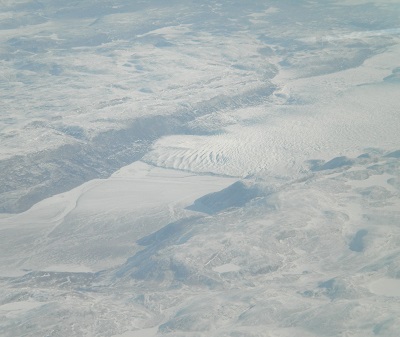
The IceSAR 2007 campaign was carried out in Svalbard in the period from 8 March to 26 April 2007. The main objective of IceSAR was to acquire SAR images and complementary data over sea and land ice for preparation of the Copernicus Sentinel-1 mission and for providing a basis for the assessment of potential applications of the Earth Explorer Biomass mission in monitoring Polar Regions.
What was the outcome of IceSAR 2007?
Despite the rough Arctic environment and the highly variable weather conditions all data was successfully acquired as planned and described in the Experimental Plan that was delivered to ESA.
Download the IceSAR 2007 Final Report
| Data Coverage (Year) | 2007 |
| Release Date | April 2018 |
| Geographic Site | Svalbard (Norway) |
| Field of Application | Land and Sea Ice (C-, L-, P- bands) |
| Data Size | More than 50 GB |
Digital Object Identifier: https://doi.org/10.5270/esa-1c2s1x2 - IceSAR: "Technical Assistance for the Deployment of Airborne SAR and Geophysical Measurements during the IceSAR 2007"
Data
The campaign data is available online via FTPS upon submission of a data access request. An active EO Sign In account is required to submit the request.
The data can be downloaded via an FTP client (e.g., FileZilla or WinSCP) using the option "Implicit FTP over TLS".
For further information about the EO Sign In Service you can visit TellUs
Should you need support please contact EOHelp