- Campaigns
- AIRFIRE
AIRFIRE
Overview
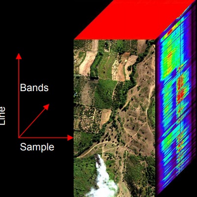
two spatial facets and a spectral one.
What was the purpose of AIRFIRE?
Dedicated to the study of fire emission in the spectral region VNIR-SWIR, the objective of the AIRFIRE campaign was to take high-resolution images of fires from aircrafts to act as 'ground truth' data in order to validate present models used for the assessment of products obtained from satellite observations of wildfires.
What was the outcome of AIRFIRE?
In the summer of 2006 the following campaign results were obtained:
- Realisation of an hyperspectral data set containing data from fires in summer 2006 in Toscana an Lazio
- Data set of ground measurement of vegetation
- validation of the hypothesis of using K line emission to trace firing regions
- develop functions for fitting and studying fire emission
- Comparison between fraction obtained with HYPER spectral observation (using K line method) and satellites derived (AVHRR) studies based on Dozier (Dozier et al 1981) method.
- Discussion on the minimal dimension of fires detectable for different payloads
Download the AIRFIRE Final Report
| Data Coverage (Year) | 2006 |
| Geographic Site | Central Italy |
| Field of application | Forest and bush fire monitoring |
| Data size | 8.5 |
Digital Object Identifier: https://doi.org/10.5270/esa-etvyv4m - AIRFIRE
Data
The campaign data is available online via FTPS upon submission of a data access request. An active EO Sign In account is required to submit the request.
The data can be downloaded via an FTP client (e.g., FileZilla or WinSCP) using the option "Implicit FTP over TLS".
For further information about the EO Sign In Service you can visit TellUs
Should you need support please contact EOHelp