- Activities
- S2L8VegStruc
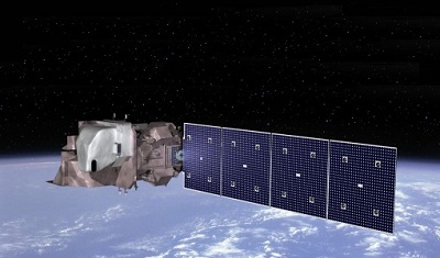
S2L8VegStruc
Overview
The Copernicus Sentinel missions provide new opportunities for Earth observation with spatial and temporal resolutions not seen so far. Especially Copernicus Sentinel-2 Multispectral Imager (MSI) allows retrievals of variables that are of core interest for modelling the global carbon cycle, monitoring forest change and establishing carbon inventories.
For the retrospective production of long term time series, only the Landsat archive and Landsat 8 Operational Land Imager (OLI) become pertinent.
Both product lines require intensive calibration and validation based on ground truth data especially for dynamic and complex forest ecosystems that have largely not been used for time series calibration. Now new technologies such as terrestrial laser scanning and hyperspectral UAVs/drones provide novel data sources to address this systematically for Sentinel-2 and the integration and inter-calibration with Landsat 8.
Project objectives
Copernicus Sentinel-2 MSI opens new opportunities for terrestrial vegetation monitoring with its high revisit rate paired with large area monitoring. Additionally, MSI's red edge bands introduce a new spectral dimension into large scale vegetation monitoring. The principal aim of this study is to test and validate these capabilities for the retrieval of structural variables, especially Leaf Area Index (LAI). The project targets to fulfil three objectives:
- Objective 1: Establish an extensive database for calibration/validation of Sentinel-2/Landsat 8 products of a deciduous forest ecosystem
- Objective 2: Perform validation of Sentinel-2/Landsat 8 reflectance and vegetation index products for a forest ecosystem
- Objective 3: Develop and test an algorithm to retrieve structural forest parameters from Sentinel-2 and Landsat 8 time series
Contact Information
If you have any questions about this project, contact:
ESA Technical Officer: Ferran Gascon
Email: ferran.gascon@esa.int
Address: ESA-ESRIN, Via Galileo Galilei Frascati (RM), 00044 Italy
Organisation: ESA
Lead Scientist: Benjamin Brede
Email: benjamin.brede@wur.nl
Address: Laboratory of Geo-Information Science and Remote Sensing, Wageningen University Droevendaalsesteeg 3 6708 PB, Wageningen, The Netherlands
Organisation: Wageningen University
Related Mission
find out more