- All Categories (10)
- Events (4)
- Tools (2)
- Campaigns (1)
- Documents (3)
Tools - Catalogues

FedEO
FedEO is a data catalogue that provides a unique entry point to a number of scientific catalogues and services for, but not limited to, European and Canadian missions.
Tools - Catalogues

EO CAT
EO CAT is a data catalogue, offering a Next Generation Earth Observation system designed to manage end-user Earth Observation services.
Event - Conference

Dragon 3 2015 Symposium
The Dragon 3 2015 Symposium was part of the Dragon 3 Programme, focussed on exploitation of ESA, ESA's Third Party Missions and Chinese Earth observation data for geo-science and applications development in land, ocean and atmospheric applications.
Document - Proceedings

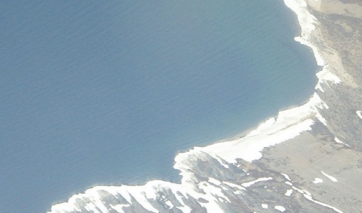
EO-Summer-School-4-Remote-sensing-of-sea-ice.pdf
This presentation from ESA's EO Summer School 4 describes the remote sensing of sea ice from the air and satellites
Event - Workshop

3rd International GOCE User Workshop
This workshop focussed on the oceanographic applications, such as absolute dynamic topography, of GOCE data in conjunction with other space-borne data, such as radar altimetry, and in-situ data and models.
Campaign
POLARIS Proof of Concept 2008
The POLARIS Proof-of-Concept (PoC) 2008 campaign primarily aimed to verify the usefulness of the system for glaciological applications.
Event - Workshop
CryoSat 2005 Workshop
The workshop provided new and familiar users of the mission with a detailed understanding of the mission status and projected performance at launch, and provided the first presentation to users of the processing algorithms.
Event - Conference
3rd ERS Symposium
The ESA Directorate for Observation of the Earth and its Environment held the 3rd ERS Symposium, in 1997, where many of the results from the ERS-1 and ERS-2 missions were presented and discussed by the scientific community.
Document - Proceedings
EO-Summer-School-5-A-short-introduction-to-microwave-remote-sensing-of-the-land-surface.pdf
This presentation from ESA's EO Summer School 5 is a short introduction to microwave remote sensing of the land surface
Document - Conference Presentation - Poster

EO-Summer-School-5-Poster-Calibration-and-Estimation-of-Extreme-Wave-Heights-in-the-Southern-Ocean-using-Altimeter-Data.pdf
This poster from ESA's EO Summer School 5 describes the calibration and extreme wave heights in the Southern Ocean from Altimeter Data