- All Categories (13957)
- Data (2)
- News (61)
- Missions (22)
- Events (17)
- Tools (5)
- Activities (6)
- Campaigns (3)
- Documents (13841)
MISSIONS
Explore the European Space Agency's Earth Observation satellite missions. Learn all about ESA's dedicated Earth Explorers or collaborations with other agencies through the Third Party Missions programme.
Mission - Earth Explorers

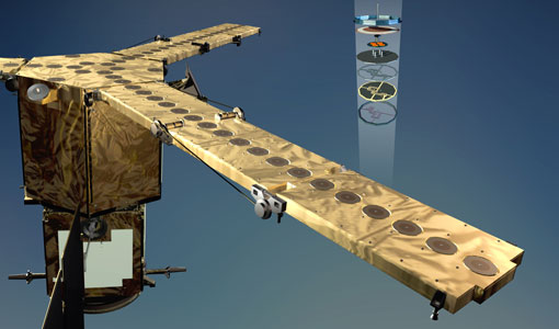
GOCE
Explorer (GOCE) mission mapped Earth's geoid very accurately, opening a window into Earth's interior structure as well as the currents
Mission - Earth Explorers
SMOS product availability
+ NIR + Long LO + FTT LO + Electrical Stability LO + NIR + Long + FTT LO + Short LO + Long + Short Current
Mission - Earth Explorers
Geographical Mode Mask
The current operational Geographical Mode Mask v5.0 The current version of the geographical mode mask v5.0 has been in operation
Mission - Earth Explorers
GOCE Objectives
Thanks to this current, the coastal waters of Europe are 4°C warmer than waters at equivalent latitudes in the north Pacific
Mission - Earth Explorers

SMOS Objectives
SMOS Science The SMOS mission is a direct response to the current lack of global observations of soil moisture and ocean
Mission - Earth Explorers

Special Datasets Overview
CryoSat Antarctic Digital Elevation Model - Download the current CryoSat product Antarctic DEM.
Mission - Earth Explorers
EGG
This opened a window into Earth's interior structure, as well as the currents circulating within the depths of its oceans
Mission - Earth Explorers
SSTI ANTEX Data
data were generated from 154 days in 2009 GOCE SSTI-B PCVs data were generated from the available data in 2010-2012 The current
Mission - Earth Explorers

Products Information
here, these are intended for the purpose of becoming familiar with the format of the CryoSat Science Products from the current
Mission - Earth Explorers
Products Information
For an optimal exploitation of the current SMOS L2 data set V620 consult the read-me-first notes available for V620 soil
Mission - Heritage Missions
GOCE re-entry dataset
with further dynamical and environmental information such as on-board magnetometer measurements of Earth's magnetic field, currents
Mission - Earth Explorers
About CRYO2ICE
The measurements will also help map snow over the poles and advance our understanding of currents in polar oceans, with further
Mission - Earth Explorers
SMOS Overview
Mission Background The SMOS mission is a direct response to the current lack of global observations of soil moisture and
Mission - Earth Explorers

Ground Tracks
CryoSat instruments and it is generated at the beginning of every orbital repetition cycle around two months before the current
Mission - Earth Explorers
GOCE Overview
height mapped by altimeters and the knowledge of the precise ocean geoid that has improved our understanding of surface currents
Mission - Earth Explorers

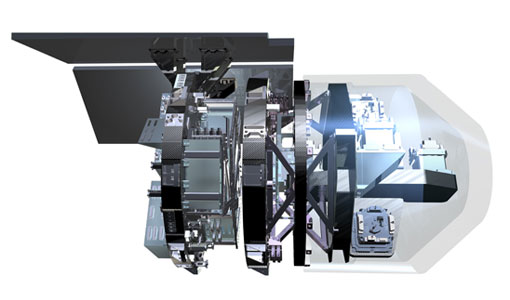
SIRAL
Access is provided to all CryoSat systematic data acquired according to the current geographical mode mask.
Mission - Earth Explorers
CryoSat Objectives
The density increase causes the surface waters to sink – in essence acting as a pump, driving cold, deep ocean currents from
Mission - Earth Watch
SIRAL Overview
It is also operated over some geostrophic ocean currents and major hydrological basins.
Mission - Third Party Missions

Multi Spectral Scanner (MSS) Processor Releases
GCP displacement B TM radiometric calibration Update to radiometric calibration strategy for TM reflective bands (Dark Current
Mission - Third Party Missions

Thematic Mapper (TM) Processor Releases
GCP displacement B TM radiometric calibration Update to radiometric calibration strategy for TM reflective bands (Dark Current