- All Categories (72)
- Data (2)
- News (10)
- Missions (4)
- Events (8)
- Tools (2)
- Activities (3)
- Documents (43)
Document - Conference Presentation - Poster
1_Iannini_PolInSAR2013.pdf
Assimilation of Distributed Targets and PS Information for the Monitoring of Polarimetric SAR Systems L. Iannini [Politecnico di Milano - Italy]
Document - Conference Presentation - Poster
2-ITCG_integrated_maritime_surveillance.pdf
Italian Coast Guard integrated maritime surveillance in the framework of security, anti-pollution and fisheries control activities Luigia Caiazzo(Italian Coast Guard, Italy)
Document - Conference Presentation - Poster
2_Charbonneau_compact_pol.pdf
RCM Compact Polarimetry Applied to Watershed Study F. J. Charbonneau [Natural Resources Canada]
Document - Conference Presentation - Poster
2_ppt_POLINSAR2013_dmonells_std.pdf
Performance Comparison between Dual Polarimetric and Fully Polarimetric data for DInSAR Subsidence monitoring D. Monells [Universitat Politecnica de Catalunya, UPC - Spain]
Document - Conference Presentation - Poster
3_towards_automated_classification.pdf
Toward automated classification of brightness fronts in RADARSAT-2 images of the ocean surface Christopher Jones (Dalhousie University Halifax, Canada)
Document - Conference Presentation - Poster
7-Clean_Sea_Net.pdf
The "New Generation" of CleanSeaNet: the EU Remote Sensing Based Monitoring System for Oil Spill and Vessel Detection Sonia Pellizzari (European Maritime Safety Agency)
Document - Conference Presentation - Poster
8_PolinSAR2013_soil_moisture_wetland_session_summary_Fina.pdf
Applications of SAR Polarimetry on Land: Soil Moisture and Wetlands
Data - Announcement of Opportunity (Restrained)
Closed ESA announcement of opportunities
See currently open announcements of opportunity.
Event - Workshop
Coastal and Marine Applications of SAR Workshop 2003
Applications were specifically focussed on wind, waves, sea ice, and currents.
News - Success Stories
Commercial and international data for fire monitoring
The Finnish ICEYE constellation, added to the TPM programme in 2021, currently consists of 27 synthetic aperture radar (SAR
Activity - Quality
EDAP
The following missions are currently being considered as part of the Automatic Identification System (AIS) and Radio Frequency
Document - Proceedings
EO-Summer-School-8-Using-EO-to-understand-tectonic-processes.pdf
This presentation from ESA's EO Summer School 8 describes monitoring our dynamic, hazardous planet with Earth Observation
Event - Workshop
Fringe 2007 Workshop
Is it possible to uniquely identify a spatially correlated interferometric phase error due to ionosphere using current sensors
Event - Workshop
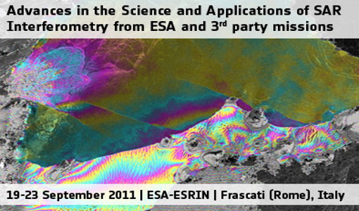
Fringe 2011 Workshop
The Fringe series of workshops started in 1992 and they are currently organised by ESA every two years.
Document - Proceedings
Fringe-2011-workshop-recommendations.pdf
This document contains the recommendations from the session summaries of the Fringe 2011 Workshop.
Document - Proceedings
Fringe-2011-workshop-session-summaries.pdf
This document contains the session summaries from the session summaries of the Fringe 2011 workshop.
Activity - General activities
GSCB and LTDP
Envisat data are used in many fields of Earth science, including atmospheric pollution, fire extent, sea ice motion, ocean currents
Tools - Visualisation
HEDAVI
ESA’s Heritage EO data currently cover more than 30 years of observations and enable the analysis of spatio-temporal dynamics


