- All Categories (42)
- Data (1)
- News (3)
- Missions (3)
- Events (1)
- Activities (2)
- Documents (32)
Document - General Reference

BIOMASS-Report-for-Mission-Selection-An-Earth-Explorer-to-observe-forest-biomass.pdf
The objective of the BIOMASS Mission is to determine the global distribution of forest biomass by reducing the uncertainty in the calculation of carbon stock and fluxes associated with the terrestrial biosphere.
Document - Product Cal/Val Plan/Report

Landsat-Product-Radiometric-Calibration.pdf
This document reports the new calibration procedures for Landsat.
Document - Technical Note

Landsat-4-Multispectral-scanner-MSS-subsystem-radiometric-characterization.pdf
Landsat 4: Multispectral scanner (MSS) subsystem radiometric characterization.
Document - Technical Note
Landsat-1-3-MSS-Standard-Interface-Document.pdf
Landsat 1-3: MSS Standard Interface Document.
Document - Technical Note
Landsat-MSS-Data-Format-Control-Book-DFCB.pdf
USGS Level 1 product specification, with which the ESA reprocessed MSS products are compliant.
Document - Technical Note
Landsat-ETM-Data-Format-Control-Book.pdf
USGS Level 1 product specification, with which the ESA reprocessed TM and ETM+ products are compliant.
Event - Meeting

VH-RODA and CEOS SAR workshop
The workshop provided an open forum for the presentation and discussion of current status and future developments related
Document - Technical Note
Landsat 1-5 MSS Image Assessment System Radiometric Algorithm Description Document
Document - Technical Note
Landsat 4-5 TM Image Assessment System Radiometric Algorithm Theoretical Basis Document
Document - Technical Note
ngEO Browse Report File Generic Interface (BRGICD)
Statistical description of the ngEO Generic Browse Report File.
Activity - Quality
SLAP
Currently, in excess of 701,000 Level 1 TM and 84,000 Level 1 ETM+ products have been reprocessed and released under the
Activity - Quality

EDAP
The following missions are currently being considered as part of the Automatic Identification System (AIS) and Radio Frequency
Document - Technical Note
Landsat 7 ETM Image Assessment System Geometric Algorithm Theoretical Basis Document
Document - Technical Note
Landsat 7 ETM Image Assessment System Radiometric Algorithm Theoretical Basis Document
Mission - Third Party Missions
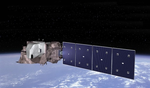
Operational Land Imager (OLI) Overview
Off-nadir imaging is currently only done at night for TIRS-calibration purposes when it does not impact Nadir day-time imaging
Mission - Third Party Missions

Multi Spectral Scanner (MSS) Processor Releases
GCP displacement B TM radiometric calibration Update to radiometric calibration strategy for TM reflective bands (Dark Current
Document - Quality Report

Landsat-8 OLI/TIRS Monthly Report 01 Sep 2016
Note: A small degradation is observed in the early life of the sensor with no major impact for current products.