- All Categories (38)
- News (6)
- Missions (10)
- Events (12)
- Activities (4)
- Documents (6)
Event - Workshop

2nd Space for Hydrology Workshop
The workshop aimed to assess the current stage of knowledge and activities in space-based hydrological observations and to
Event - Meeting

VH-RODA and CEOS SAR workshop
The workshop provided an open forum for the presentation and discussion of current status and future developments related
Activity - Quality

EDAP
The following missions are currently being considered as part of the Automatic Identification System (AIS) and Radio Frequency
Event - Workshop

SEASAR 2012
Aouf 14:00 - 14:20 Towards consistent inversion of wind, waves and surface current from SAR Bertrand Chapron (IFREMER, France
Activity - Quality
SCIRoCCo
Author: The SCIRoCCo Team Abstract: The ERS Scatterometers in the Global Climate Observing System report describes the current
News - Thematic area articles

How satellite data help to shape society
Title: Current drought situation in Ebro basin Description: The SMOS soil-moisture-based drought monitor is updated monthly
Event - Training

EO Summer School 4
Keynote lectures on global change issues are also given to discuss the current state of the science of global change and
Mission - Heritage Missions

SAR (ERS) Processor Releases
It should be noted that for SAR, each product ordered is processed directly from the raw data, using the current version
Activity - Quality
SLAP
Currently, in excess of 701,000 Level 1 TM and 84,000 Level 1 ETM+ products have been reprocessed and released under the
Event - Workshop
SEASAR 2006
requirements Formulate recommendations for algorithm and new products development To present ESA studies results on wind, wave and currents
Document - Proceedings

SEASAR-2012-sessions-summaries-seed-questions-recommendations.pdf
This document gathers together the sessions summaries with seed questions discussion and recommendations of the SEASAR 2012 workshop.
Event - Training
EO Summer School 5
Keynote lectures on global change issues are also given to discuss the current state of the science of global change and
Mission - Heritage Missions
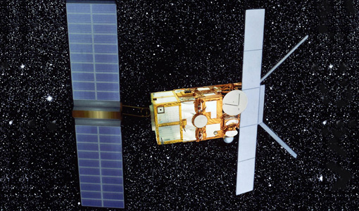
SAR (ERS)
Processor Releases It should be noted that for SAR, each product ordered is processed directly from the raw data, using the current
Document - Newsletter

Earth Online Newsletter - 08 March 2024
This issue of the Earth Online Newsletter covers a selection of the latest news and events from ESA.
News - Infographics
Showcasing success stories from ESA's Heritage Missions
success stories showcased used data from ESA's ERS (European Remote Sensing) and Envisat satellites in combination with current
Mission - Heritage Missions

ERS Radar Course 1
Therefore, microwaves easily penetrate clouds, and images can be acquired independently of the current weather conditions
Document - Conference Presentation - Poster

8_PolinSAR2013_soil_moisture_wetland_session_summary_Fina.pdf
Applications of SAR Polarimetry on Land: Soil Moisture and Wetlands
Document - Conference Presentation - Poster
2_Charbonneau_compact_pol.pdf
RCM Compact Polarimetry Applied to Watershed Study F. J. Charbonneau [Natural Resources Canada]
Event - Workshop

POLinSAR 2013
Snow, Land Ice and Sea Ice Monitoring Hazards: Fire Monitoring, Volcanoes, Flooding, Earthquake Other applications Past, current
News - Success Stories

Heritage data trains neural networks to detect urban sprawl
Since they’ve been trained identically, they can help monitor both current and past urban changes.