- All Categories (168)
- News (6)
- Missions (17)
- Events (3)
- Tools (2)
- Activities (3)
- Documents (137)
Document - Technical Note

ERS-2 Scatterometer- Mission Performances and Current Reprocessing Achievements
Mission - Earth Explorers

GOCE
Explorer (GOCE) mission mapped Earth's geoid very accurately, opening a window into Earth's interior structure as well as the currents
Document - Proceedings

Emerging-Scatterometer-Applications-from-Research-to-Operations.pdf
The objective of the Workshop, held on 5-7 October 1998 at ESA-ESTEC (Noordwijk, The Netherlands), was to review the current
Document - Software Verification Plan/Report

GUT2-WP6000-Final-Report.pdf
combined to models of the marine geoid to estimate the ocean Mean Dynamic Topography, and, by geostrophy, the ocean mean currents
Tools - Analysis

GOCE User Toolbox
Data output formats The current data formats that GUT can provide in output are: netCDF (Climate and Forecast Metadata Convention
Activity - Quality
SCIRoCCo
Author: The SCIRoCCo Team Abstract: The ERS Scatterometers in the Global Climate Observing System report describes the current
Mission - Heritage Missions
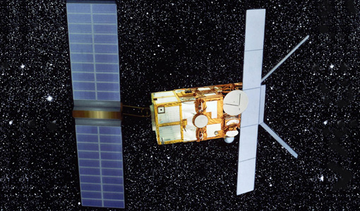
SAR (ERS) Processor Releases
It should be noted that for SAR, each product ordered is processed directly from the raw data, using the current version
News - Data Release news

GOCE EGG L1b reprocessed data published
The GOCE L2 data, including the gravity field models, are currently being regenerated and will be available in Q2 2019.
Document - Software Verification Plan/Report
GUT2-WP4000-Final-Report.pdf
The objective of this workpackage is to carry out an independent validation of the various preliminary geoid models computed by ESA HPF (High Processing Facility) from the GOCE (Gravity field and steadystate Ocean Circulation Explorer) mission in order to assess their quality for oceanographic applications.
Mission - Earth Explorers
GOCE Objectives
Thanks to this current, the coastal waters of Europe are 4°C warmer than waters at equivalent latitudes in the north Pacific
Document - Technical Note
GUT3-WP3100-Validation-Report.pdf
This document presents the results of the GUT v3 oceanographic validation carried out under GUT3-WP3100.
Document - Software Verification Plan/Report
GUT3-Brochure.pdf
This document presents a brief overview of the results of the GUT v3 project.
Document - General Reference

GOCE-Obtaining-a-Portrait-of-Earths-Most-Intimate-Features.pdf
This is an article extracted from the ESA Bulletin Nr. 133.
Document - General Reference
Towards the Definitive Space Gravity Mission
This article appeared on the International WOCE Newsletter, issue nr. 33 published on December 1998.
Document - Proceedings
4th-International-GOCE-User-Workshop.pdf
Proceedings of the 4th International GOCE User Workshop held on 31 March - 1 April 2011 at the Technische Universitat Munich, Germany
Document - Software Verification Plan/Report
GUTS-Promo-Leaflet.pdf
This leaflet summarizes the results of the GOCE User ToolboxSpecifications Study (GUTS).
Document - Publication - Paper

ERS-1-2 Scatterometer new products- mission reprocessing and data quality improvement
Paper presented at the Second Space for Hydrology Workshop - Geneve 2007: ERS-1/2 Scatterometer new products - mission reprocessing and data quality improvement
Document - General Reference
Earth-Explorers.pdf
This flyer gives a quick overview of the 6 Earth Explorers missions.
Document - Software Verification Plan/Report
GUT2-Final-Project-Report.pdf
This document is the Final Report of the project carried out by a consortium led by DTU, "GUTS Phase 3" Development and Supporting Scientific Studies" in response to Statement of Work XGCE, DTEX, EOPSSW & 090001.