- All Categories (361)
- News (11)
- Missions (11)
- Events (12)
- Activities (1)
- Documents (326)
Event - Training
Advanced Training Course in Ocean Remote Sensing 2011
Background and access to current and future Chinese, ESA and TPM satellite missions in ocean remote sensing were presented
Event - Training
EO Summer School 3
In line with observations it shows anti-cyclonically rotating surface currents and cyclonically rotating bottom currents.
Event - Training
EO Summer School 4
Keynote lectures on global change issues are also given to discuss the current state of the science of global change and
Event - Training
EO Summer School 5
Keynote lectures on global change issues are also given to discuss the current state of the science of global change and
Event - Training
EO Summer School 6
Keynote lectures on global change issues are also given to discuss the current state of the science of global change and
Event - Training
EO Summer School 7
Keynote lectures on global change issues are also given to discuss the current state of the science of global change and
Mission - Heritage Missions
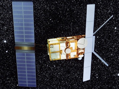
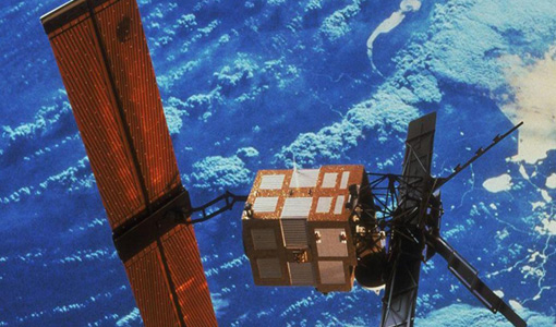
ERS Overview
global scale, the two ERS satellites expanded our understanding of the interaction between the oceans and atmosphere, ocean currents
Mission - Heritage Missions
ERS Radar Course 1
Therefore, microwaves easily penetrate clouds, and images can be acquired independently of the current weather conditions
Mission - Heritage Missions
ERS Radar Course 2
Therefore, microwaves easily penetrate clouds, and images can be acquired independently of the current weather conditions
Mission - Heritage Missions
ERS Radar Course 3
Therefore, microwaves easily penetrate clouds, and images can be acquired independently of the current weather conditions
News - General News
ESA's excellent Earth Explorer missions extended to 2025
Acting like the spinning conductor in a bicycle dynamo, it generates electrical currents and thus the continuously changing
News - General News
ESA's improved Earth system data records: what is in store for the future?
The current focus is on spectral windows in the Ultraviolet-Visible-Near Infrared regions for the retrieval of atmospheric
Event - Workshop
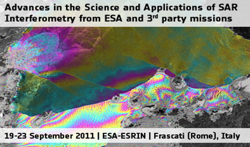
Fringe 2011 Workshop
The Fringe series of workshops started in 1992 and they are currently organised by ESA every two years.
Document - Proceedings
Fringe-2011-workshop-recommendations.pdf
This document contains the recommendations from the session summaries of the Fringe 2011 Workshop.
Document - Proceedings
Fringe-2011-workshop-session-summaries.pdf
This document contains the session summaries from the session summaries of the Fringe 2011 workshop.
Event - Workshop
IDEAS+ Cal/Val Workshop 7
Regular workshops are held every nine months with the whole IDEAS+ Task 3-Cal/Val team in order to review the status of current
News - Data Release news
New reprocessing of datasets celebrates 30 years of ERS
For each surface, the experts will use our current knowledge acquired over 30 years of experience, to improve the ERS altimetric
News - Data Release news
New version of the SMOS-CryoSat level 4 sea ice thickness product is now available
The current version 205 replaces the previous baseline version 204.
Mission - Earth Explorers
Products Information
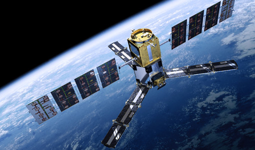
For an optimal exploitation of the current SMOS L2 data set V620 consult the read-me-first notes available for V620 soil
Mission - Heritage Missions
RA (ERS)
the RA provided information on significant wave height; surface wind speed; sea surface elevation, which relates to ocean currents


