- All Categories (20)
- Missions (7)
- Activities (3)
- Documents (10)
Document - User Guide

FM94-BUFR-Encoding-Software-for-ERS Data-Software-User-Manual.pdf
This user manual is applicable to Version 5 of the World Meteorological Organization (WMO) FM94 BUFR Decoding Software for ERS data. It describes: The installation of the software, the post-installation testing of the software, the user interfaces to the BUFR encoder, the completion status and error codes that can be expected, and how corrupt products are handled.
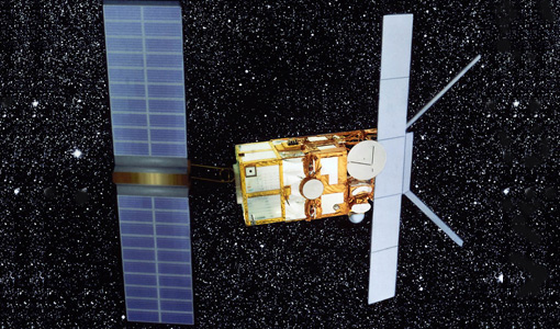
Mission - Heritage Missions

ERS Radar Course 1
Therefore, microwaves easily penetrate clouds, and images can be acquired independently of the current weather conditions
Mission - Heritage Missions

GOME Cal/Val
that time was spent in the night side of Earth, when GOME carried out sequences of calibration measurements, i.e. dark current
Mission - Heritage Missions
GOME Products Information
Details on the datasets currently distributed are in the ERS-2 GOME Products Availability Table.
Document - Proceedings

Preliminary-Radiometric-Calibration-Assessment-of-ALOS-AVNIR-2.pdf
This paper was presented at IGARSS 2007 (23-27 July 2007 - Barcelona, Spain). It summarizes the activities carried out in the frame of the data quality activities of the Advanced Visible and Near Infrared Radiometer type 2 (AVNIR-2) sensor on board the Advanced Land Observing Satellite (ALOS).
Document - Software Verification Plan/Report

Decoding-Software-for-ERS-Data-for-FM94-BUFR.pdf
This document describes how to decode ERS Low Bit Rate (LBR) Fast Delivery (FD) products from the World Meteorological Organisation (WMO) standard FM94 BUFR format required for transmission to users via the WMO Global Telecommunications System (GTS).
Activity - Quality
REAPER
data shows a clear improvement in terms of accuracy over the tandem periods between ERS-1, ERS-2 and Envisat missions (currently
Document - Product Cal/Val Plan/Report

ERS2-MWR-survey-2001.pdf
Reports on activities performed in 2001 on the ERS2 / MWR survey.
Mission - Third Party Missions

ALOS-1 Mission Objectives
Oceanography and coastal zone-related research (oil spill, high-resolution DEM) Coastal zones, sea surface wind, wave height, wave current
Activity - General activities
EO Summer Schools
Keynote lectures on global change issues are also given to discuss the current state of the science of global change and
Document - Technical Note

Draft-specification-of-ATSR-SADIST-2-products.pdf
This document is a draft specification of the scientific products from RAL's SADIST-2 ATSR data-processing software. Since SADIST-2 is being developed such that it can process data from both ATSR-1 and ATSR-2 instruments, the products described here have been designed to be sufficiently flexible and modular that they are equally valid for either instrument.
Document - Product Cal/Val Plan/Report
ERS-2-OPR-Product-Validation-Report.pdf
This report focuses on the inspection of the OPR products and the associated user documentation.
Activity - Quality
SEOM CAWA
The product validation and evolution of the algorithm are currently being performed.
Document - User Guide
Altimeter-and-Microwave-Radiometer-ERS-Products-User-Manual.pdf
This document assists users of ERS OPR and VLC CERSAT products (altimeter and microwave sounder GDR), by providing a comprehensive description of product formats and contents.
Document - Technical Note
Investigation-into-ATSR-1-and-ATSR-2-data-availability.pdf
Envisat-style products for ATSR-1 and ATSR-2 data.
Mission - Heritage Missions
ERS Radar Course 3
Therefore, microwaves easily penetrate clouds, and images can be acquired independently of the current weather conditions
Mission - Heritage Missions
ATSR Overview
Applications KuroShio current captured by ERS The ATSR onboard the ERS missions had several applications spanning the disciplines
Mission - Heritage Missions

ERS Overview
global scale, the two ERS satellites expanded our understanding of the interaction between the oceans and atmosphere, ocean currents