- All Categories (1236)
- News (8)
- Missions (6)
- Events (12)
- Documents (1210)
Document - General Reference

WATS - Water Vapour and Temperature in the Troposphere and Stratosphere.pdf
This report describes the WATS mission, one of the candidate Earth Explorers in the second cycle in 2001.
Document - Technical Note

WALES - Water Vapour Lidar Experiment in Space
This report describes the WALES mission, one of the candidate Earth Explorers in the second cycle in 2001.
News - Thematic area articles

Transforming space data into climate action
By combining high-quality data from both current and previous missions, scientists are improving their understanding of the
News - Success Stories
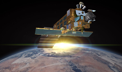
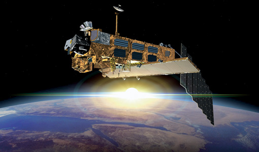
Trailblazing ERS-2 mission enables climate change applications
Varied elevations of Bachu in western China InSAR is currently one of the most accurate methods to generate digital elevation
Document - General Reference
The-Changing-Earth-New-Scientific-Challenges-for-ESAs-Living-Planet-Programme.pdf
This article is extracted from ESA Bulletin Nr. 129.
Document - Proceedings

The Use and Applications of ERS in Latin America-Uso y Applicaciones de ERS en America Latina
Proceedings of the International Seminar on the use and applications of ERS in Latin America, held on 25-29 November 1996 in Vina del Mar, Chile. In English and Spanish.
Document - General Reference
Taking-the-Measure-of-Earth-Fifteen-Years-of-Progress-in-Radar-Altimetry.pdf
This article is extracted from ESA Bulletin Nr. 128.
News - Thematic area articles
Space data support Earth’s ecosystems
Currently, it is not possible to measure photosynthetic activity from space, but the forthcoming FLuorescence EXplorer (FLEX
Event - Workshop

Space and the Arctic 2009 Workshop
possibilities for the future : Volker Liebig, Director of ESA EO Programme Observations of the Arctic - EUMETSAT's Contribution to Current
Event - Workshop
SEASAR 2008
of the workshop were: Wave mode processing algorithms, product validation and assimilation Ocean Wind applications Ocean Current
Event - Workshop
SEASAR 2006
requirements Formulate recommendations for algorithm and new products development To present ESA studies results on wind, wave and currents
News - Thematic area articles

Satellites reveal changes to Earth’s icy zones
By combining information collected by current and previous missions, researchers can estimate how the cryosphere is evolving
Document - General Reference
Satellite-Data-in-Hydrology-Experience-with-ERS.pdf
This document is aimed at both current and potential users of ERS data in hydrology.
Document - General Reference
Monitoring-River-and-Lake-Levels-from-Space.pdf
This article was published in the ESA Bulletin Nr. 117 and describes the new global river and lake monitoring products developed by ESA with the help of De Monfort University (UK).
Mission - Heritage Missions
MERIS Overview
Spatial and temporal models of the biosphere are currently being developed to study the mechanics of such complex systems
Mission - Heritage Missions
MERIS Applications
altimeters, have a remarkable sensitivity to the roughness and height of the ocean surface, enabling the detection of ocean currents
Document - General Reference
Looking-after-Water-in-Africa-ESAs-TIGER-Initiative.pdf
This article was published in the ESA Bulletin Nr. 117 anddescribes the TIGER initiative, a direct follow up of ESA'sengagement in the 2002 Johannesburg World Summit on SustainableDevelopment: the project is aimed to offer to developing countriestechnology to monitor from space the water resources.
News - Infographics
Learn more about Envisat MERIS Full Resolution Level-1 data
The current version of the dataset uses a Sentinel-3-like format.
Document - Proceedings
Image Processing Techniques-Tecnicas de Procesamiento de Imagenes
Proceedings of the first Latino-American Seminar on Radar Remote Sensing, held on 2-4 December 1996 in Buenos Aires, Argentina. In English and Spanish.