- All Categories (42447)
- Data (99)
- News (200)
- Missions (30)
- Events (65)
- Tools (16)
- Activities (15)
- Campaigns (34)
- Documents (41988)
MISSIONS
Explore the European Space Agency's Earth Observation satellite missions. Learn all about ESA's dedicated Earth Explorers or collaborations with other agencies through the Third Party Missions programme.
Mission - Third Party Missions
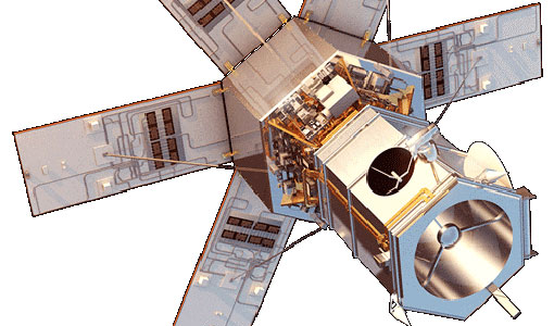
WorldView-4
WorldView-4 was an imaging and environment-monitoring satellite from Maxar of the United States, which offered very high resolution imagery.
Mission - Third Party Missions
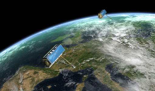
TerraSAR-X and TanDEM-X
The TerraSAR-X and TanDEM-X satellites feature a unique geometric accuracy that is unmatched by any other spaceborne sensor.
Mission - Earth Explorers
Swarm Product Data Handbook
The Swarm Product Data Handbook provides a detailed description of Level 1b and Level 2 products derived from Swarm data.
Mission - Earth Explorers
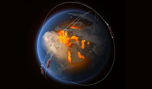
Swarm
Swarm is dedicated to creating a highly detailed survey of Earth’s geomagnetic field and its temporal evolution as well as the electric field in the atmosphere using a constellation of three identical satellites.
Mission - Heritage Missions
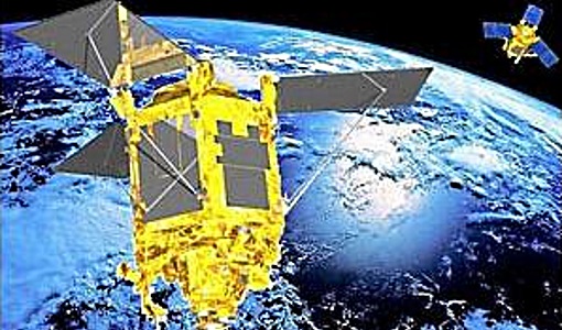
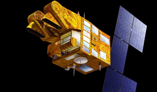
SPOT 7
SPOT 7 (also known as Azersky), like all of the other SPOT missions, was aimed at supplying high-resolution, wide-area optical imagery.
Mission - Third Party Missions
SPOT 6
SPOT 6, like all the SPOT missions, is aimed at supplying high-resolution, wide-area optical imagery.
Mission - Heritage Missions
SPOT 5
SPOT 5, like all the SPOT missions, was aimed at supplying high-resolution, wide-area optical imagery.
Mission - Heritage Missions
SPOT 4
SPOT 4, like all the SPOT missions, was aimed at supplying high-resolution, wide-area optical imagery.
Mission - Heritage Missions
SPOT 3
SPOT 3, like all the SPOT missions, was aimed at supplying high-resolution, wide-area optical imagery.
Mission - Heritage Missions
SPOT 2
SPOT 2, like all the SPOT missions, was aimed at supplying high-resolution, wide-area optical imagery.
Mission - Third Party Missions
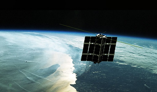
Spire
Spire Global's constellation of Lemur nanosatellites offer satellite-based maritime, aviation and weather tracking.
Mission - Earth Explorers
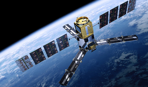
SMOS
The Soil Moisture and Ocean Salinity (SMOS) mission is dedicated to making global observations of soil moisture over land and salinity over oceans.
Mission - Heritage Missions
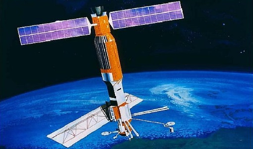
Seasat
On board Seasat was the first-ever space-borne synthetic aperture radar (SAR) system for science applications.
Mission - Heritage Missions
RADARSAT
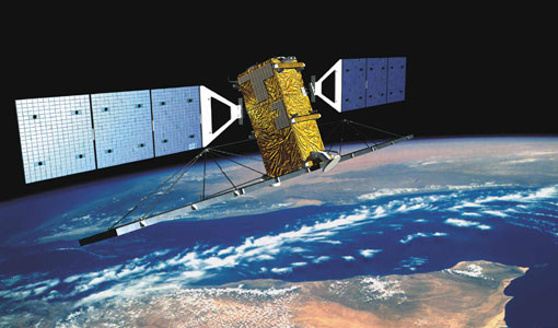
The RADARSAT programme consists of a pair of remote sensing satellites from the Canadian Space Agency (CSA).
Mission - Third Party Missions
PROBA-1
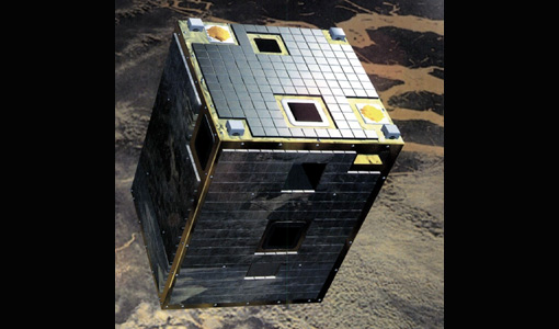
PROBA-1 is a technology demonstration satellite that later became an operational Earth observation mission.
Mission - Third Party Missions
Pléiades Neo
Pléiades Neo is a very high resolution optical constellation of two identical satellites phased at 180° from each other.
Mission - Third Party Missions
OceanSat-2
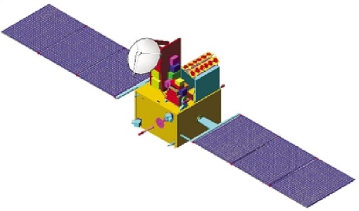
OceanSat-2 provides service continuity for the operational users of the OCM (Ocean Colour Monitor) instrument launched in 1999 on board the predecessor IRS-P4/OceanSat-1 mission.
Mission - Heritage Missions
NOAA POES
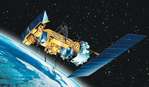
NOAA's AVHRR sensor is carried on the POES mission, a constellation of polar orbiting weather satellites.
Mission - Heritage Missions
MOS-1/1B
MOS-1 and 1B, Japan’s first marine observation satellites, were designed to monitor ocean currents, sea surface temperature, atmospheric water vapour, ocean chlorophyll levels, precipitation, and land vegetation.
Mission - Heritage Missions
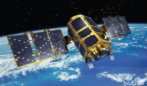
KOMPSAT-2
KOMPSAT-2 (Korea Multi-Purpose Satellite-2), also known as Arirang-2, was developed by KARI (Korea Aerospace Research Institute) to continue the observation programme of the KOMPSAT-1 mission.
