- All Categories (32236)
- Data (123)
- News (225)
- Missions (53)
- Events (77)
- Tools (17)
- Activities (9)
- Campaigns (81)
- Documents (31651)
MISSIONS
Explore the European Space Agency's Earth Observation satellite missions. Learn all about ESA's dedicated Earth Explorers or collaborations with other agencies through the Third Party Missions programme.
Mission - Earth Explorers
Biomass
The objective of the Biomass mission is to determine the global distribution of forest biomass.
Mission - Copernicus Sentinels

Copernicus Sentinel-1
The Copernicus Sentinel-1 mission comprises a constellation of two polar-orbiting satellites, operating day and night performing C-band synthetic aperture radar imaging, enabling them to acquire imagery regardless of the weather.
Mission - Copernicus Sentinels

Copernicus Sentinel-3
Copernicus Sentinel-3 is an European Earth Observation satellite mission developed to support Copernicus ocean, land, atmospheric, emergency, security and cryospheric applications.
Mission - Third Party Missions

COSMO-SkyMed
COSMO-SkyMed is an Italian Earth-imaging constellation consisting of four identical satellites which launched between 2007 and 2010.
Mission - Third Party Missions
COSMO-SkyMed Second Generation
COSMO-SkyMed Second Generation is at the forefront of radar technology, will ensure improvements and guarantee continuity with the First Generation CSK satellites, preserving the high quality and the highest precision features, both required for the interferometric activities.
Mission - Third Party Missions
COSMO-SkyMed Series
COSMO-SkyMed (COnstellation of small Satellites for the Mediterranean basin Observation) Series aims to provide global Earth observation that can be repeated several times a day in all-weather conditions.
Mission - Earth Explorers

CryoSat
CryoSat determines variations in the thickness of continental ice sheets and marine ice cover. Europe's first ice mission is an advanced radar altimeter specifically designed to monitor the most dynamic sections of Earth's cryosphere.
Mission - Heritage Missions

Envisat
Envisat was ESA's successor to ERS. Envisat carried ten instruments aboard for a wide range of Earth observing fields. The mission was operational from 2002 to 2012.
Mission - Heritage Missions

ERS
The ERS programme was composed of two missions, ERS-1 and ERS-2, which together observed the Earth for 20 years, from 1991 to 2011.
Mission - Third Party Missions
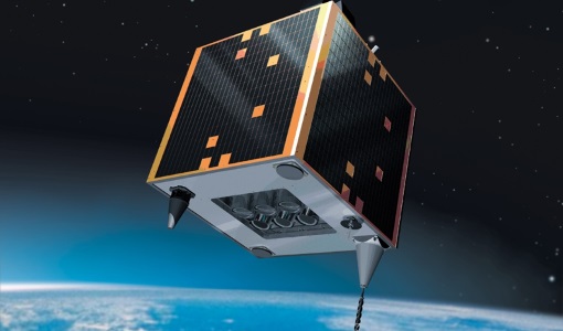
FSSCat
The FSSCat mission was an innovative concept that consisted of two federated 6-Unit Cubesats, called ³Cat-5/A and ³Cat-5/B, which operated in support of the Copernicus Land and Marine Environment services.
Mission - Heritage Missions
GEOSAT
The GEOSAT series consists of GEOSAT-1 and GEOSAT-2 missions. They are Earth imaging satellites. GEOSAT-2, a high resolution satellite, became the first European fully-private satellite capable of providing sub-metric multi-spectral imagery.
Mission - Heritage Missions
GEOSAT-1
GEOSAT-1 is part of a group of satellites collectively known as the Disaster Monitoring Constellation (DMC).
Mission - Heritage Missions
GEOSAT-2
GEOSAT-2 is the second satellite of the Deimos Earth Observation system, following GEOSAT-1.
Mission - Earth Explorers

GOCE
ESA's Gravity field and Ocean Circulation Explorer (GOCE) mission mapped Earth's geoid very accurately, opening a window into Earth's interior structure as well as the currents circulating within the depths of its oceans.
Mission - Third Party Missions

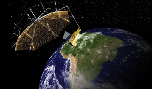
ICEYE
As of June 2023, 27 X-band Synthetic Aperture Radar (SAR) satellites have been launched for the ICEYE constellation. This enables all-weather Earth observation.
Mission - Heritage Missions

IRS-1C
IRS-1C is part of the IRS (Indian Remote Sensing) satellites, a large family of Earth observation satellites operated by ISRO.
Mission - Heritage Missions

IRS-1C and IRS-1D
The Indian Remote Sensing satellites IRS-1C and IRS-1D were identical Earth-imaging satellites operated by the Indian Space Research Organisation.
Mission - Heritage Missions

IRS-1D
IRS-1D was part of the IRS (Indian Remote Sensing) satellites, a large family of Earth observation satellites operated by ISRO.
Mission - Third Party Missions

IRS-P5 (Cartosat-1)
IRS-P5 (Cartosat-1) was a stereoscopic Earth observation satellite that generated Digital Elevation Models (DEMs) and other value-added products.
Mission - Third Party Missions

IRS-R2 (ResourceSat-2)
IRS-R2 (ResourceSat-2) continues the remote sensing data services to global users provided by the ResourceSat-1 mission and also provides data with enhanced multispectral/ spatial coverage.