- All Categories (67088)
- Data (255)
- News (714)
- Missions (84)
- Events (206)
- Tools (61)
- Activities (77)
- Campaigns (106)
- Documents (65585)
News - Events and Proceedings
Φ-Week Triumphs
In its fourth edition, Φ-Week presented the scientific community with amazing opportunities and projects—thus running alongside innovation at 360 degrees.
News - Events and Proceedings
Φ-week 2020
Φ-week, the third edition of the annual event focusing on innovation in Earth Observation, will be a virtual event taking place the week of 28 September to 2 October.
Document - Conference Presentation - Poster
zdenek_mass_density_gradiometric.pdf
1st International GOCE Solid Earth Workshop Presentation
Document - Conference Presentation - Poster
Yves_Govaerts2nd_2017_09_S2_low_radiance.pdf
Workshop on Radiometric Calibration for European Optical Missions presentation
Document - Publication - Paper
Yves_Govaerts2nd_2017_09_S2_low_radiance (1).pdf
ACIX-II - 1st Workshop: CEOS-WGCV Cloud Masking Inter-comparison Exercise
Document - Conference Presentation - Poster
Yves_Govaerts1st_2017_09_PICS_characterization.pdf
Workshop on Radiometric Calibration for European Optical Missions presentation
Document - Publication - Paper
Yves_Govaerts1st_2017_09_PICS_characterization (1).pdf
ACIX-II - 1st Workshop: CEOS-WGCV Cloud Masking Inter-comparison Exercise
News - Success Stories
Young scientists bid farewell to ESA's wind mission
Students and early career researchers are saying an emotional goodbye to Aeolus ahead of its upcoming reentry.
Document - Conference Presentation - Poster
YagueMartinez_FRINGE2011.pdf
FRINGE 2011 Day 3 Presentation
Document - Conference Presentation - Poster
XPReSS_SER_PRE_00XX_TPM_DSI_Status_1_0.pdf
IDEAS+ Third Party Missions Meeting #02 presentation
Document - Conference Presentation - Poster
X_Briottet_BRDF_PICS_ESRIN2017_v3.pdf
Workshop on Radiometric Calibration for European Optical Missions presentation
Document - Publication - Paper
X_Briottet_BRDF_PICS_ESRIN2017_v3 (1).pdf
ACIX-II - 1st Workshop: CEOS-WGCV Cloud Masking Inter-comparison Exercise
Document - Publication - Paper
Wunderle_Riffler_ESA_LPVE_2014_fin.pdf
LPVE: Land Product Validation and Evolution workshop
Document - Technical Note
WorldView-GeoEye-QuickBird-Terms-Of-Applicability.pdf
This document contains the Terms of Applicability and Terms and Conditions for use of the WorldView 1-4, GeoEye 1 and QuickBird satellite data for Category 1 use.
Data - Project Proposal (Restrained)
WorldView-4 Full Archive
WorldView-4 high resolution optical products are available as part of the Maxar Standard Satellite Imagery products from the QuickBird, WorldView-1/-2/-3/4, and GeoEye-1 satellites. All details about the data provision, data access conditions and quota assignment procedure are described into the Terms of Applicability available in Resources section. In particular, WorldView-4 offers archive panchromatic products up to 0.31 m GSD resolution, and 4-Bands Multispectral products up to 1.24 m GSD resolution. Band Combination Data Processing Level Resolution Panchromatic and 4-bands Standard (2A) / View Ready Standard (OR2A) 15 cm HD, 30 cm HD, 30 cm, 40 cm, 50/60 cm View Ready stereo 30 cm, 40 cm, 50/60 cm Map Ready (Ortho) 1:12.000 Orthorectified 15 cm HD, 30 cm HD, 30 cm, 40 cm, 50/60 cm The options for 4-Bands are the following: 4-Band Multispectral (BLUE, GREEN, RED, NIR1) 4-Band Pan-sharpened (BLUE, GREEN, RED, NIR1) 4-Band Bundle (PAN, BLUE, GREEN, RED, NIR1) 3-Bands Natural Colour (pan-sharpened BLUE, GREEN, RED) 3-Band Colored Infrared (pan-sharpened GREEN, RED, NIR1) Native 30 cm and 50/60 cm resolution products are processed with MAXAR HD Technology to generate respectively the 15 cm HD and 30 cm HD products: the initial special resolution (GSD) is unchanged but the HD technique increases the number of pixels and improves the visual clarity achieving aesthetically refined imagery with precise edges and well-reconstructed details.
Mission - Third Party Missions
WorldView-4
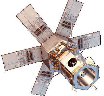
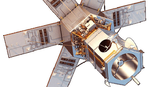
WorldView-4 was an imaging and environment-monitoring satellite from Maxar of the United States, which offered very high resolution imagery.


