- All Categories (74)
- Data (6)
- News (41)
- Missions (8)
- Events (8)
- Tools (3)
- Activities (3)
- Campaigns (1)
- Documents (4)
Document - Proceedings

EO-Summer-School-6-Satellite-Data-for-Numerical-Weather-Prediction-1.pdf
Satellite data assimilation for Numerical Weather Prediction (NWP)
Event - Conference

3rd ERS Symposium
The ESA Directorate for Observation of the Earth and its Environment held the 3rd ERS Symposium, in 1997, where many of the results from the ERS-1 and ERS-2 missions were presented and discussed by the scientific community.
Mission - Meteorological Missions
Meteosat Second Generation
The ESA Meteosat Second Generation (MSG) programme, started in 1994, is composed of four satellites.
Mission - Meteorological Missions

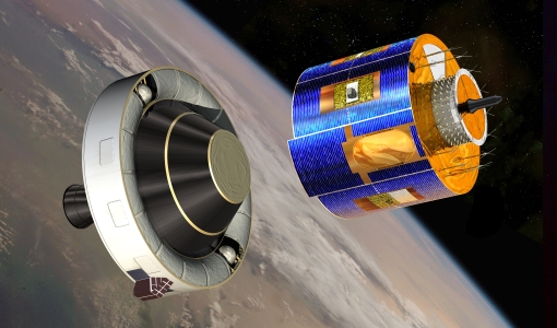
MetOp
MetOp is a mission dedicated to improving weather forecasts and monitoring Earth's climate.
Mission - Third Party Missions
Spire
Spire Global's constellation of Lemur nanosatellites offer satellite-based maritime, aviation and weather tracking.
Event - Workshop
Aeolus Cal/Val and Science Workshop
The ESA organised Aeolus Cal/Val virtual workshop was a forum for reporting on the mission status and product evolution, for informing and coordinating mission Cal/Val activities.
Event - Conference
16th European Space Weather Week
The 16th ESWW brought together the diverse groups in Europe working on different aspects of Space Weather.
Campaign

CLARE
CLARE 2000: Cloud Lidar and Radar Experiments were to provide an extended data base and develop new analysis methods.
Mission - Heritage Missions

ERS
The ERS programme was composed of two missions, ERS-1 and ERS-2, which together observed the Earth for 20 years, from 1991 to 2011.
Mission - Earth Explorers

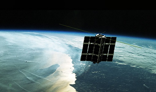
SMOS
The Soil Moisture and Ocean Salinity (SMOS) mission is dedicated to making global observations of soil moisture over land and salinity over oceans.
Mission - Earth Watch

PROBA-V
The PROBA-V mission provides multispectral images to study the evolution of the vegetation cover on a daily and global basis.
Mission - Earth Explorers

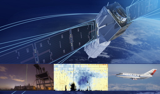
Aeolus
The Aeolus mission which was launched into space on 22 August 2018 and was retired on 30 April 2023, provided global observations of wind profiles from space to improve the quality of weather forecasts, and to advance our understanding of atmospheric dynamics and climate processes.
Data - Project Proposal (Restrained)
Pléiades full archive and tasking
The Pléiades twins (1A and 1B) deliver very high-resolution optical data (up to 0.5 m resolution Panchromatic and Colour and 2 m Multispectral) and offer a daily revisit capability to any point on the globe. The swath width is approximately 20 km (with a nadir footprint). The ortho-products are automatically generated by the Pléiades ground segment, based on SRTM or Reference3D database. The projection available for Pléiades ortho-products is UTM, datum WGS84. Bands combinations:: Pansharpened: colour image at 0.5 m resolution Bundle: (0.5 m panchromatic image + 2 m multispectral image) Processing levels: Primary: The Primary product is the processing level closest to the natural image acquired by the sensor. This product restores perfect collection conditions: the sensor is placed in rectilinear geometry, and the image is clear of all radiometric distortion. Standard Ortho: The Ortho product is a georeferenced image in Earth geometry, corrected from acquisition and terrain off-nadir effects. Tailored Ortho: Aside from the Standard Ortho product, when different specifications are needed, a custom orthorectification, with a more precise 3D model provided by the client or acquired for the purpose, can be provided on demand. As per ESA policy, very high-resolution imagery of conflict areas cannot be provided.
Data - Fast Registration with approval (Restrained)

SPOT 6 and 7 ESA archive
The SPOT 6 and 7 ESA archive is a dataset of SPOT 6 and SPOT 7 products that ESA collected over the years. The dataset regularly grows as ESA collects new SPOT 6 and 7 products. SPOT 6 and 7 Primary and Ortho products can be available in the following modes: Panchromatic image at 1.5m resolution Pansharpened colour image at 1.5m resolution Multispectral image in 4 spectral bands at 6m resolution Bundle (1.5m panchromatic image + 6m multispectral image) Spatial coverage: Check the spatial coverage of the collection on a map available on the Third Party Missions Dissemination Service. As per ESA policy, very high-resolution imagery of conflict areas cannot be provided.
Data - Fast Registration with approval (Restrained)

SPOT 1-5 ESA archive
The ESA SPOT 1-5 collection is a dataset of SPOT 1 to 5 Panchromatic and Multispectral products that ESA collected over the years. The HRV(IR) sensor onboard SPOT 1-4 provides data at 10 m spatial resolution Panchromatic mode (-1 band) and 20 m (Multispectral mode -3 or 4 bands). The HRG sensor on board of SPOT-5 provides spatial resolution of the imagery to < 3 m in the panchromatic band and to 10 m in the multispectral mode (3 bands). The SWIR band imagery remains at 20 m. The dataset mainly focuses on European and African sites but some American, Asian and Greenland areas are also covered. Spatial coverage: Check the spatial coverage of the collection on a map available on the Third Party Missions Dissemination Service. The SPOT Collection
News - Success Stories

Earth Day: taking the pulse of our planet
While news of COVID-19 dominates headlines and many of us practice social distancing, there still remains the need for action on climate change - and satellites are vital in providing the key facts on this global issue.
News - Data Release news
New SMOS sea surface wind speed products now available
The SMOS Wind Data Service provides, in near real time (NRT), surface wind speed over the ocean derived from the brightness temperature measurements of SMOS.
News - Data Release news

New CryoSat BUFR products for the meteorological community
From 11 May new CryoSAT NOP data will be disseminated by ESA to the Italian MetOffice.
Activity - Quality
Aeolus DISC
The Aeolus DISC is the core element in ESA's data quality framework for the Aeolus mission, comprised of an international expert consortium to study and improve the data quality of Aeolus products.
News - Success Stories

Forty years of heritage data highlight warming European lakes
In the last decade, climate change has taken centre stage in both the public and scientific arenas, as increasingly extreme weather and human impact on the environment have become more apparent.