- All Categories (68)
- Data (4)
- News (15)
- Missions (4)
- Events (10)
- Tools (14)
- Activities (4)
- Campaigns (1)
- Documents (16)
Event - Workshop
Volcanic Ash Monitoring - ESA/EUMETSAT Workshop
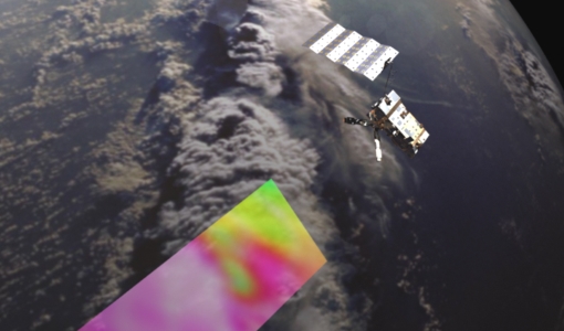
On 14 April 2010 the Icelandic volcano Eyjafjalla erupted and had been ejecting immense plumes of ash and sulphur into the atmosphere. The workshop was held in response to the emergency.
Activity - Cal/Val activities
UV nadir viewing galleries
Atmospheric chemistry nadir observation from space now spans nearly forty years. The early UVN (UV nadir missions) mainly focused on measuring ozone.
Document - User Guide
TPM-L-OADS-dissemination-service-User-Manual.pdf
This guide describes the Third Party Missions Dissemination System.
News - Infographics
Timeline to over 40 years of historical satellite missions
ESA's Heritage Space Programme preserves historical data from over 40 years of Earth observation missions.
Document - Technical Note
Technical Note on Quality Assessment for Landsat 1-7
Technical Note on Quality Assessment for Landsat 1-7
Event - Workshop
Space and the Arctic 2009 Workshop
Temperatures in the Arctic are rising at an unprecedented rate. This workshop looked at the needs and challenges of working and living in the rapidly changing Arctic and explore how space-based services might help to meet those needs.
Tools - Analysis
SNAP
SNAP is a common architecture for all Sentinel Toolboxes. It is ideal for Earth observation processing and analysis.
Activity - Quality
SLAP
The SLAP (Systematic Landsat Archive Processing) project covers the MSS, TM and ETM+ products from Landsat missions 1 – 7, and is the first systematic reprocessing of the ESA Landsat archive.
Tools - Analysis
Sentinel-3 Toolbox
The Toolbox consists of a set of visualisation, analysis and processing tools for the exploitation of OLCI and SLSTR data.
Tools - Analysis
Sentinel-2 Toolbox
The Toolbox consists of a rich set of visualisation, analysis and processing tools for the exploitation of optical high-resolution products including the Sentinel-2 MSI sensor.
Tools - Visualisation
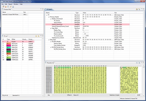
S2G Data Viewer
S2G Data Viewer is an extensible application that allows you to inspect the contents of CCSDS-compliant telemetry data exchanged between a satellite and its ground segments on the space-to-ground link.
News - Data Release news
New reprocessed Landsat data on a new dissemination server
The full ESA Landsat archive has been reprocessed with the latest version of the processor to provide a homogenous dataset covering MSS, TM and ETM+ data.
News - Success Stories
New life for Landsat historical data
45 years of data, more than 1.8 million images, these are the numbers of an adventure started 48 years ago with the launch of the first Landsat satellite.
News - Data Release news
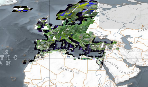
New collections available: Cloud Free Landsat-5 TM and Landsat-7 ETM+ European and Mediterranean Countries
Two new data collections, Landsat-5 TM Cloud Free and Landsat-7 ETM Cloud Free collections, are available through the ESA Third Party Missions programme.
News - Success Stories
Mission continuity
Long-term availability of Earth observation data from a given instrument is crucial to many data users and their research—but just how does it work?
Document - General Reference
MetOp-Monitoring-the-Weather-from-Polar-Orbit.pdf
This brochure describes in details the MetOp mission, the satellite and its instruments.
Document - General Reference
MetOp-A-Truly-Global-Picture-About-MetOp-mission-and-its-instruments.pdf
This flyer describes the MetOp mission and its instruments.
Mission - Meteorological Missions
MetOp
MetOp is a mission dedicated to improving weather forecasts and monitoring Earth's climate.
Document - Product Document
LANDSAT_Products_Description_Document.pdf
This document acts as a User Guide to the Landsat MSS, TM and ETM+ archives, focussing more specifically on the Landsat TM and ETM+ products from the Kiruna, Maspalomas and Matera archives (including from the Matera, Fucino, Neustralitz, O’Higgins, Malindi, Libreville and Bishkek ground stations) that have been generated as part of the ESA archive bulk-reprocessing project.
Mission - Heritage Missions
Landsat-4 and Landsat-5
The Landsat-4 and Landsat-5 missions continued the Landsat programme's goal of providing moderate-resolution optical remote sensing for land, coastal areas and shallow waters.
