- All Categories (7)
- Data (1)
- News (1)
- Missions (1)
- Events (1)
- Tools (2)
- Activities (1)
Data - Announcement of Opportunity (Restrained)
Announcement of Opportunity for S3VT (Sentinel-3 Validation Team)
In the framework of a Copernicus collaborative agreement ESA and EUMETSAT invite interested groups and individuals to support the Sentinel-3 Validation Team (S3VT).
Activity - General activities
GSCB and LTDP
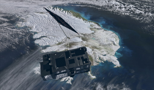
The Copernicus programme is based on a fleet of European Earth observation satellites, built and operated by ESA, member states and commercial entities. Copernicus will also offer data from non-European satellites.
Mission - Copernicus Sentinels
Copernicus Sentinel-3
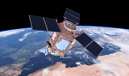
Copernicus Sentinel-3 is an European Earth Observation satellite mission developed to support Copernicus ocean, land, atmospheric, emergency, security and cryospheric applications.
Tools - Analysis
SNAP
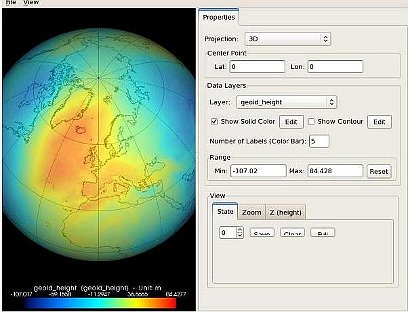
SNAP is a common architecture for all Sentinel Toolboxes. It is ideal for Earth observation processing and analysis.
Tools - Other
Broadview Radar Altimetry Toolbox
BRAT is an extensive tutorial on what is altimetry, techniques used and examples of usage of data; plus software to read, process and visualise altimetry data.
News - Success Stories
Spotlight on sea-level rise
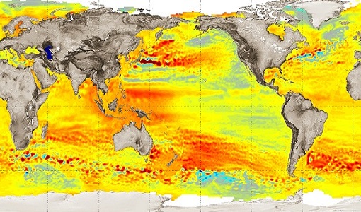
Scientists to share findings on how satellite has revealed changes in the height of the sea, ice, inland bodies of water and more.
Event - Training
Advanced Training Course in Land Remote Sensing 2012
The 2012 advanced training course focused on land remote sensing theory and applications.


