- All Categories (63)
- Data (1)
- News (3)
- Missions (2)
- Events (6)
- Tools (5)
- Activities (1)
- Documents (45)
News - Thematic area articles
Cloud-free collections key for land monitoring
Satellite imagery is a crucially important tool for monitoring the land, but cloud cover can often block parts of Earth’s surface from view, limiting subsequent analyses.
Data - EO Sign In Authentication (Open)
Landsat RBV
This dataset contains Landsat 3 Return Beam Vidicon (RBV) products, acquired by ESA by the Fucino ground station over its visibility mask. The data (673 scenes) are the result of the digitalization of the original 70 millimetre (mm) black and white film rolls. The RBV instrument was mounted on board the Landsat 1 to 3 satellites between 1972 and 1983, with 80 metre resolution. Three independent co-aligned television cameras, one for each spectral band (band 1: blue-green, band 2: yellow-red, band 3: NIR), constituted this instrument. The RBV system was redesigned for Landsat 3 to use two cameras operating in one broad spectral band (green to near-infrared; 0.505–0.750 µm), mounted side-by-side, with panchromatic spectral response and higher spatial resolution than on Landsat 1 and Landsat 2. Each of the cameras produced a swath of about 90 km (for a total swath of 180 km), with a spatial resolution of 40 m.
Tools - Catalogues
FedEO
FedEO is a data catalogue that provides a unique entry point to a number of scientific catalogues and services for, but not limited to, European and Canadian missions.
Tools - Catalogues
ESA PDGS DataCube
ESA's DataCube is a data catalogue that enables multi-temporal and pixel-based access to a subset of data available from ESA
Tools - Catalogues
EO CAT
EO CAT is a data catalogue, offering a Next Generation Earth Observation system designed to manage end-user Earth Observation services.
Activity - General activities
EO Summer Schools
ESA's series of summer schools, on Monitoring of the Earth System, aims to promote the exploitation of Earth observation (EO) data.
Event - Conference
Dragon 3 2014 Symposium
The Dragon 3 2014 Symposium was part of the Dragon 3 Programme, focussed on exploitation of ESA, ESA's Third Party Missions and Chinese Earth observation data for geo-science and applications development in land, ocean and atmospheric applications.
Event - Conference
Dragon 3 2015 Symposium
The Dragon 3 2015 Symposium was part of the Dragon 3 Programme, focussed on exploitation of ESA, ESA's Third Party Missions and Chinese Earth observation data for geo-science and applications development in land, ocean and atmospheric applications.
Event - Conference
Dragon 3 2016 Symposium
The Dragon 3 2016 Symposium served as the close of the Dragon 3 Cooperation Programme (2012 to 2016) and formal kick off for Dragon 4 Cooperation projects.
News - Events and Proceedings
Highlights from Living Planet Symposium
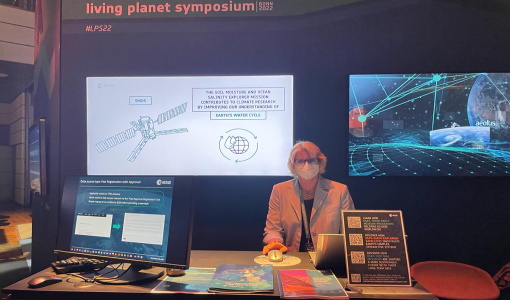
As remote sensing scientists and data-users from around the world converged at the Living Planet Symposium (LPS) in Bonn recently, a common thread was evident in many scientific sessions and meetings – the right environmental data can accelerate our understanding of the rapid changes in Earth’s system.
Event - Workshop
VH-RODA 2021 Workshop
The Very High-resolution Radar & Optical Data Assessment (VH-RODA) 2021 workshop was held online from 20–23 April 2021.
Document - Technical Note
Landsat 7 ETM Image Assessment System Radiometric Algorithm Theoretical Basis Document
Document - Technical Note
Landsat 7 ETM Image Assessment System Geometric Algorithm Theoretical Basis Document
Tools - Visualisation
EVDC Orbit Prediction Tool
The EVDC Orbit Prediction and Overpass Tool generates and visualises satellite's overpasses.
News - Success Stories
New life for Landsat historical data
45 years of data, more than 1.8 million images, these are the numbers of an adventure started 48 years ago with the launch of the first Landsat satellite.
Tools - Analysis
Sentinel-1 Toolbox
The Toolbox consists of: processing tools, data product readers and writers and a display and analysis application to support the archive of SAR data from ESA and 3rd party missions.
Mission - Heritage Missions
Landsat Series
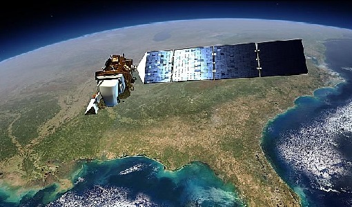
The Landsat Series is the world's longest running system of satellites for moderate-resolution optical remote sensing for land, coastal areas and shallow waters.
Document - Proceedings
Third ESA International Conference on Spacecraft Guidance, Navigation and Control Systems
The proceedings from the Third ESA International Conference on Spacecraft Guidance, Navigation and Control Systems, which took place at ESTEC in Noordwijk, the Netherlands, from 26 to 29 November 1996, are presented here.
Document - General Reference
The International Charter- Space and Major Disasters
The Charter is an important step forward in linking the needs of disaster and relief organisations with space technology solutions to help mitigate the effects of disaster on human life, property and the environment.
Document - User Guide
ERS-1 Altimeter Products User Manual
The Altimeter Products User Manual describes the ERS-1 products for user's reference.


