- All Categories (47)
- Data (1)
- News (12)
- Missions (1)
- Events (10)
- Tools (11)
- Activities (3)
- Campaigns (2)
- Documents (7)
Document - Conference Presentation - Poster
04_OCT2013_ESA-EO_programmes.pdf
ESA EO missions and their exploitation for science and applications ESA
Event - Meeting
20th GHRSST Science Team Meeting
The 20th GHRSST International Science Team meeting in 2019 brought together sea surface temperature experts to look at future innovations.
Event - Workshop
2nd MERIS/AATSR User Workshop
The workshop addressed the utilisation of MERIS and AATSR data for remote sensing of open oceans, coastal waters, land surfaces and atmospheric processes.
Event - Workshop
2nd Space for Hydrology Workshop
The workshop aimed to assess the current stage of knowledge and activities in space-based hydrological observations and to exchange knowledge and know how with hydrologists and researchers.
Event - Training
4th ESA EARSEL CNR School - Remote Sensing for Forest Fires
This course was to disseminate and discuss research methods and technologies of active and passive Earth Observation for applications related to forest fires.
Event - Training
Advanced Ocean Synergy Training Course
This ESA course was devoted to training the next generation of Earth Observation scientists to exploit data from ESA and Third Party Mission instruments for ocean science and application development.
Event - Training
Advanced Training Course in Land Remote Sensing 2012
The 2012 advanced training course focused on land remote sensing theory and applications.
Data - Announcement of Opportunity (Restrained)
Announcement of Opportunity for S3VT (Sentinel-3 Validation Team)
In the framework of a Copernicus collaborative agreement ESA and EUMETSAT invite interested groups and individuals to support the Sentinel-3 Validation Team (S3VT).
Tools - Other
Broadview Radar Altimetry Toolbox
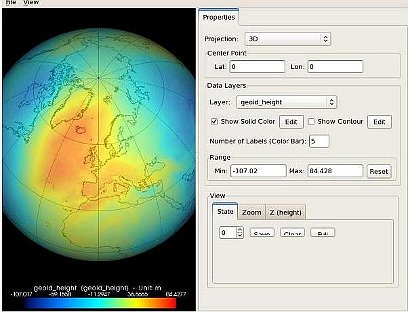
BRAT is an extensive tutorial on what is altimetry, techniques used and examples of usage of data; plus software to read, process and visualise altimetry data.
News - General News
Campaign using surface reflectance data to support validation of Earth observation products
Scientists from around the world are set to take part in a drone monitoring campaign and inter-comparison exercise that will deliver surface reflectance data to support the validation of Earth observation products.
Tools - Catalogues
Copernicus Data Space Ecosystem
The Copernicus Data Space Ecosystem provides free instant access to a wide range of data and services from the Copernicus Sentinel missions.
Mission - Copernicus Sentinels
Copernicus Sentinel-3
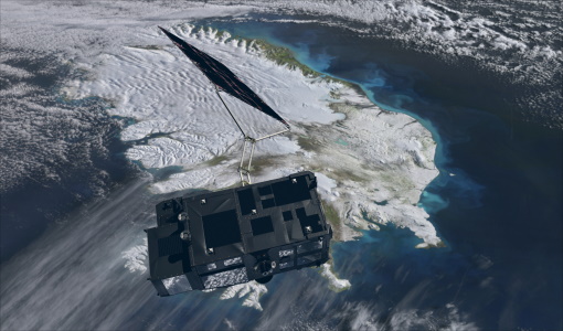
Copernicus Sentinel-3 is an European Earth Observation satellite mission developed to support Copernicus ocean, land, atmospheric, emergency, security and cryospheric applications.
News - Data Release news
Eight years of SMOS Arctic sea ice thickness level now available from SMOS Data dissemination portal
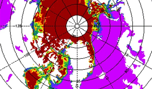
Daily maps of sea ice thickness based on SMOS Observations, covering the winter seasons in the Arctic for the period of October-April from year 2010/2011 to year 2017/2018, are now available.
Tools - Processing
EO CFI Software
Earth Observation CFI Software is a collection of multiplatform precompiled C libraries for timing, coordinate conversions, orbit propagation, satellite pointing calculations, and target visibility calculations.
Activity - General activities
EO Science for Society
ESA's Earth Observation Science for Society programme aims to promote scientific exploitation of satellite data, forges new scientific discoveries and pioneers new services, stimulating downstream industrial and economic growth.
Document - Proceedings
EO-Summer-School-4-The-Earth-Observation-Programme-at-ESA.pdf
This presentation from ESA's EO Summer School 4 describes 2008 the Earth Observation Programme at ESA
Document - Proceedings
EO-Summer-School-5-ESA-Satellite-Missions-for-Climate-Observations.pdf
This presentation from ESA's EO Summer School 5 describes ESA Satellite Missions for Climate Observations
News - Success Stories
ESA missions help to reveal worldwide lake water loss trend
Climate change, human consumption and sedimentation are depleting more than half of the world’s biggest lakes of water, according to a ground-breaking analysis that drew on three decades of satellite data.
Tools - Analysis
ESA PDGS Jupyter Notebook
A series of Jupyter Notebooks are available, in order to understand how to exploit the API that provides the data access service for different types of datasets included in the ESA PDGS datacube.


