- All Categories (32)
- Data (5)
- News (7)
- Missions (8)
- Events (2)
- Tools (4)
- Activities (4)
- Campaigns (1)
- Documents (1)
Event - Workshop
EO for Agriculture Under Pressure 2024
EO for Agriculture Under Pressure 2024 Workshop follows up from previous events, bringing together the large community working on EO-based science and solutions for agriculture.
News - Data Release news
New FLEX-related campaign datasets released
New datasets have been released for three campaigns, covering activities supporting the upcoming FLEX mission.
Campaign
FLEXSense 2018
The 2018 Fluorescence Explorer Sense (FLEXSense) campaign combined various field activities in preparation for the FLEX satellite mission.
Data - Announcement of Opportunity (Restrained)
Announcement of Opportunity for S3VT (Sentinel-3 Validation Team)
In the framework of a Copernicus collaborative agreement ESA and EUMETSAT invite interested groups and individuals to support the Sentinel-3 Validation Team (S3VT).
News - Thematic area articles
Global understanding of Earth's land surfaces greatly boosted by satellite data
ESA perform land surface monitoring with a range of instruments onboard satellites acquiring optical and radar data. Collections of data from these missions are freely available for research purposes.
News - Infographics
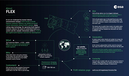
Measuring photosynthetic fluorescence - ESA's FLEX mission
Learn about ESA's upcoming FLEX mission, which is dedicated to gathering information about photosynthetic activity to shed light on the functioning of Earth's vegetation, in our latest infographic.
Tools - Catalogues
FedEO
FedEO is a data catalogue that provides a unique entry point to a number of scientific catalogues and services for, but not limited to, European and Canadian missions.
Tools - Catalogues
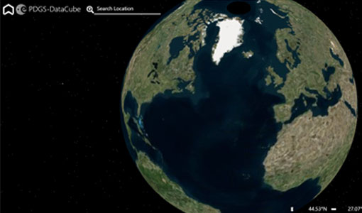
ESA PDGS DataCube
ESA's DataCube is a data catalogue that enables multi-temporal and pixel-based access to a subset of data available from ESA
Tools - Catalogues
EO CAT
EO CAT is a data catalogue, offering a Next Generation Earth Observation system designed to manage end-user Earth Observation services.
News - Thematic area articles
Satellite data central to ocean monitoring
Over 95% of Earth’s water is found in our oceans, and yet sadly, oceans are under stress from climate change and pollution. Monitoring our oceans is vital for Earth’s survival and satellites are the primary means of long-term and independent observation of our vast ocean bodies and their associated coastal zones.
News - General News
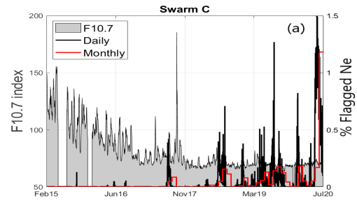
New paper “Swarm Langmuir probes' data quality validation and future improvements” published
The paper “Swarm Langmuir probes' data quality validation and future improvements” by F. Catapano et al. has been published in the Geoscientific Instrumentation, Methods and Data Systems (GI) journal in March 2022.
News - Success Stories
How Envisat helped to shape global understanding of Earth’s systems
Twenty years have passed since a ground-breaking European spacecraft designed to deliver unprecedented insight into the planet’s changing environment was lofted into orbit.
News - Announcement of Opportunity updates
Swarm DISC Deadline Extension
Swarm DISC Invitation to Tender deadline extension for SD-ITT-4.4: Swarm for Space Weather
Activity - Projects
Dragon 2 Cooperation Programme
The Dragon 2 Programme focussed on the exploitation of ESA, ESA's Third Party Missions and Chinese Earth observation data for science and applications development in land, ocean and atmospheric applications.
Activity - Projects
TOLEOS
The TOLEOS (Thermosphere Observations from Low-Earth Orbiting Satellites) project will produce thermosphere mass density observations from the accelerometer measurements of the GRACE, GRACE-FO, and CHAMP satellites.
Activity - General activities
GSCB and LTDP
The Copernicus programme is based on a fleet of European Earth observation satellites, built and operated by ESA, member states and commercial entities. Copernicus will also offer data from non-European satellites.
Mission - Copernicus Sentinels
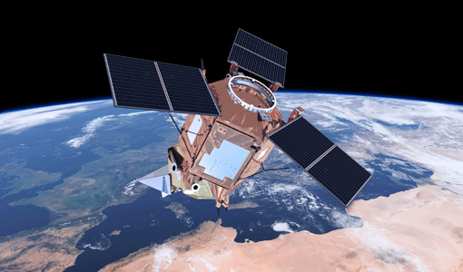
Copernicus Sentinel-3
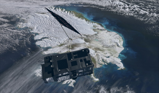
Copernicus Sentinel-3 is an European Earth Observation satellite mission developed to support Copernicus ocean, land, atmospheric, emergency, security and cryospheric applications.
Data - Fast Registration with approval (Restrained)
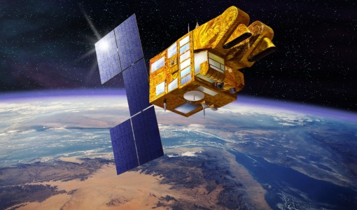
SPOT 1-5 ESA archive
The ESA SPOT 1-5 collection is a dataset of SPOT 1 to 5 Panchromatic and Multispectral products that ESA collected over the years. The HRV(IR) sensor onboard SPOT 1-4 provides data at 10 m spatial resolution Panchromatic mode (-1 band) and 20 m (Multispectral mode -3 or 4 bands). The HRG sensor on board of SPOT-5 provides spatial resolution of the imagery to < 3 m in the panchromatic band and to 10 m in the multispectral mode (3 bands). The SWIR band imagery remains at 20 m. The dataset mainly focuses on European and African sites but some American, Asian and Greenland areas are also covered. Spatial coverage: Check the spatial coverage of the collection on a map available on the Third Party Missions Dissemination Service. The SPOT Collection
Mission - Earth Explorers
Swarm
Swarm is dedicated to creating a highly detailed survey of Earth’s geomagnetic field and its temporal evolution as well as the electric field in the atmosphere using a constellation of three identical satellites.
Mission - Earth Explorers
GOCE
ESA's Gravity field and Ocean Circulation Explorer (GOCE) mission mapped Earth's geoid very accurately, opening a window into Earth's interior structure as well as the currents circulating within the depths of its oceans.

