- All Categories (16)
- News (4)
- Missions (1)
- Events (2)
- Tools (7)
- Activities (2)
News - How to guides
HEDAVI Discover: a step-by-step guide
The Heritage Data Visualisation tool (HEDAVI) is a platform developed by the French Science Consulting for Earth Observation group, VisioTerra, which allows users to freely access over 40 years of ESA Earth Observation Heritage data, Third Party Missions and some Copernicus data.
News - Success Stories
Discover Earth like never before: the HEDAVI tool
The Heritage Data Visualisation tool, or HEDAVI, enables the analysis of global spatio-temporal dynamics of natural and artificial environments, covering over 40 years of ESA Earth Observation Heritage data, Third Party Missions and some Copernicus data.
Tools - Catalogues
FedEO
FedEO is a data catalogue that provides a unique entry point to a number of scientific catalogues and services for, but not limited to, European and Canadian missions.
Tools - Catalogues
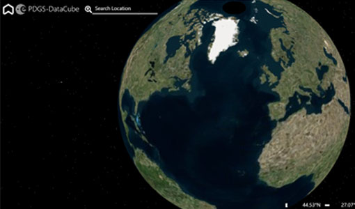
ESA PDGS DataCube
ESA's DataCube is a data catalogue that enables multi-temporal and pixel-based access to a subset of data available from ESA
Tools - Catalogues
EO CAT
EO CAT is a data catalogue, offering a Next Generation Earth Observation system designed to manage end-user Earth Observation services.
Tools - Other
Forestry TEP
The Forestry Thematic Exploitation Platform (TEP) enables users in the forestry sector to access satellite data based processing services and tools for generating value-added forest information products.
Tools - Other
Geohazards TEP
The Geohazards Thematic Exploitation Platform (TEP) aims to provide Earth observation data for supporting geohazards applications.
Event - Conference
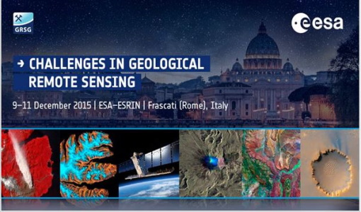
GRSG 2015 Conference
The 26th Annual GRSG Conference 'Challenges in Geological Remote Sensing' focused on a wide range of remote sensing applications, tools, latest developments and sensors.
Tools - Visualisation
EVDC Orbit Prediction Tool
The EVDC Orbit Prediction and Overpass Tool generates and visualises satellite's overpasses.
Activity - Quality
EDAP
The ESA Earthnet Data Assessment Pilot (EDAP) project will perform assessments for various missions to ensure the delivered data is fit for purpose.
Activity - Quality
SLAP
The SLAP (Systematic Landsat Archive Processing) project covers the MSS, TM and ETM+ products from Landsat missions 1 – 7, and is the first systematic reprocessing of the ESA Landsat archive.
Tools - Visualisation
HEDAVI
The HEDAVI (HEritage DAta Visualisation) service enables users to discover a wealth of heritage data from ESA's ERS and Envisat missions, as well as from Landsat-5 and Landsat-7.
News - Operational News
Landsat-8 web portal now available on new environment
The Landsat-8 Portal service has been migrated to a new server and is accessible on the previous web address.
News - Success Stories
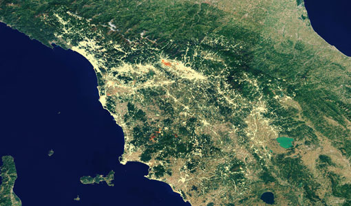
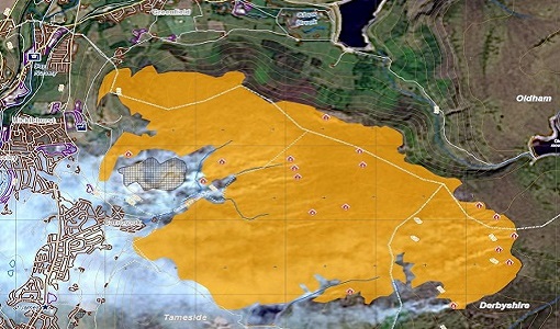
Satellite data allows real-time detection of potential fires
A pilot Fire Detection Service, based on real-time processing of Landsat-8 data being assessed within the framework of ESA's Earthnet Programme.
Mission - Heritage Missions
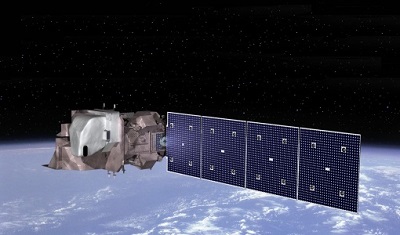
Landsat-7
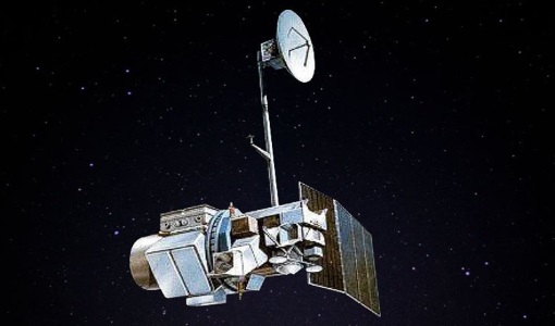
Landsat-7 is a joint USGS and NASA-led Earth observation mission, which was launched in 1999 and remains operational.
Event - Workshop
CEOS-IVOS Workshop on Inter-comparison of Large Scale Optical and Infrared Sensors
The 2004 workshop was an opportunity to present and exchange experiences and knowledge from work on inter-comparing large scale optical sensors at different product levels.

