- All Categories (1410)
- Data (14)
- News (22)
- Missions (16)
- Events (11)
- Tools (7)
- Activities (12)
- Campaigns (4)
- Documents (1324)
Campaign

WISE
The objective of WInd and Salinity Experiment 2001 (WISE 2001) campaign was to get more data points and better wind speed measurements.
Document - Product Cal/Val Plan/Report

Validation Report following the 3rd MERIS data reprocessing
This document prepared by the MERIS Quality Working Group (QWG) corresponds to the Validation Report following the 3rd MERIS data reprocessing. It aims at qualifying and quantifying the accuracy of the MERIS L2 products generated with the version 8.0 of MERIS Ground Segment prototype (MEGS), delivered to the whole community through the ODESA software (http://earth.eo.esa.int/odesa/). It is equivalent to version 6.0 of the Instrument Processing Facilities (IPF) at ESRIN.
Document - Product Cal/Val Plan/Report
Validation of GOMOS version ozone profiles
Validation of GOMOS version ozone profiles using ground-based lidar observations
Event - Workshop
URBIS24
URBan Insights from Space (URBIS24) Workshop will offer an insightful exploration of urban challenges and innovative EO-integrated solutions.
News - General News

Updated SMOS documentation available
Updated versions of several SMOS data documents are now available.
News - Thematic area articles

Transforming space data into climate action
ESA’s Earth observation activities are playing a key role in the revitalised global drive to combat climate change.
Mission - Third Party Missions
TanSat
The TanSat mission is one of the Earth Observation projects managed by the Ministry of Science and Technology of China and is dedicated to detecting and monitoring carbon dioxide in the atmosphere.
News - Success Stories

Spotlight on sea-level rise
Scientists to share findings on how satellite has revealed changes in the height of the sea, ice, inland bodies of water and more.
News - Data Release news
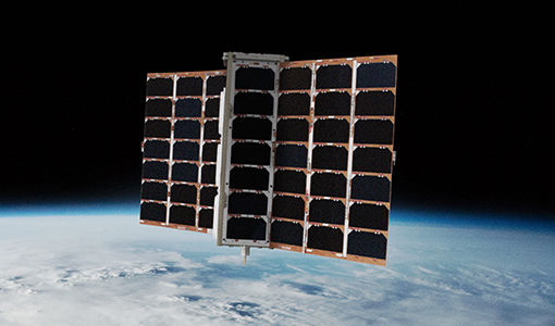
Spire data now open to users
Following the submission of a project proposal, data from the Spire mission are now available.
Document - Technical Note

SMOS-Mission-Objectives-and-Scientific-Requirements.pdf
This document outlines the SMOS mission objectives and the derived scientific mission requirements.
Document - Technical Note
SMOS-L1B-Data-Processing-Model-Document
The main purpose of this document is to provide a detailed definition of the processes and algorithms contained in the Foreign Sources Correction and Image Reconstruction modules for SMOS Level-1B products.