- All Categories (6)
- News (4)
- Missions (1)
- Events (1)
News - Thematic area articles
Global understanding of Earth's land surfaces greatly boosted by satellite data
ESA perform land surface monitoring with a range of instruments onboard satellites acquiring optical and radar data. Collections of data from these missions are freely available for research purposes.
News - Thematic area articles
Satellite data boost global understanding of land surface
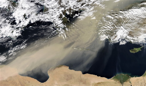
Understanding our changing land surface is essential in the study of climate change. Satellites are used to monitor changes to the material that covers Earth’s surface, so-called land cover, such as vegetation and water.
News - Success Stories
Ship trails in the Bay of Biscay observed using PROBA-V imagery
Ship trails have been perceived as convincing evidence of aerosol-cloud interaction. Ship emissions have been proven to contribute by about 1.9% and 2.9% to the increase in the global total and fine-mode aerosol optical thickness (AOT) respectively over a five year period (Peters et al. 20212).
News - Success Stories
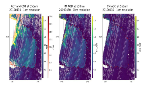
1 km resolution aerosol optical thickness retrieved from PROBA-V
The ESA SPAR@MEP project aims to deliver a long-term data record (LTDR) of aerosol optical properties and surface reflectance from SPOT-VGT and PROBA-V observations.
Mission - Earth Watch
PROBA-V
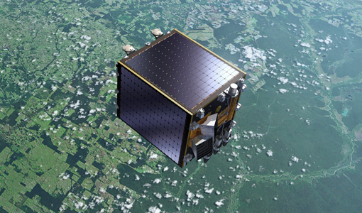
The PROBA-V mission provides multispectral images to study the evolution of the vegetation cover on a daily and global basis.
Event - Conference
Living Planet Symposium 2019
ESA's Living Planet Symposia are amongst the biggest Earth observation conferences in the world. Scientists present their latest findings on Earth's environment and climate.


