- All Categories (35)
- Data (2)
- News (17)
- Missions (1)
- Events (1)
- Tools (7)
- Activities (1)
- Documents (6)
News - Infographics
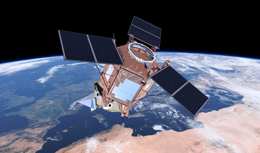
An overview of ESA's Third Party Missions programme
ESA’s Third Party Missions programme consists of almost 50 satellite missions, which are owned by organisations around the world. ESA has agreements with these organisations to acquire, process, and distribute data from their missions
News - Infographics
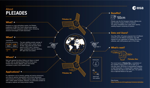
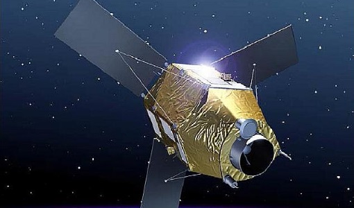
An overview of the very high-resolution Pleiades satellites
Find out about the achievements of the Pléiades programme in this infographic.
Document - Conference Presentation - Poster
D3P1b_msavinaud_LTC2013.pdf
D3P1b ORFEO Toolbox M. Sauvinaud
Tools - Catalogues
EO CAT
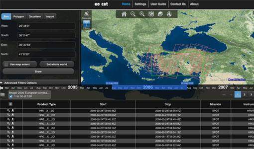
EO CAT is a data catalogue, offering a Next Generation Earth Observation system designed to manage end-user Earth Observation services.
Tools - Analysis
ESA PDGS Jupyter Notebook
A series of Jupyter Notebooks are available, in order to understand how to exploit the API that provides the data access service for different types of datasets included in the ESA PDGS datacube.
News - Infographics
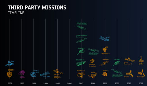
ESA Third Party Missions timeline
We've released a new timeline to illustrate the history of the ESA Third Party Missions.
News - General News
ESA's new DataCube service is now available
ESA is pleased to announce the deployment of a new service, called ESA PDGS-DataCube, enabling multi-temporal and pixel-based access to a subset of the data available in the European Space Agency dissemination services.
News - General News
ESA’s Earth Observation Catalogue and its services
EO-CAT is the EO Catalogue tool allowing users to search ESA and Third Party Mission collections.
Tools - Catalogues
FedEO
FedEO is a data catalogue that provides a unique entry point to a number of scientific catalogues and services for, but not limited to, European and Canadian missions.
Tools - Other
Forestry TEP
The Forestry Thematic Exploitation Platform (TEP) enables users in the forestry sector to access satellite data based processing services and tools for generating value-added forest information products.
Tools - Other
Geohazards TEP
The Geohazards Thematic Exploitation Platform (TEP) aims to provide Earth observation data for supporting geohazards applications.
Activity - General activities
GSCB and LTDP
The Copernicus programme is based on a fleet of European Earth observation satellites, built and operated by ESA, member states and commercial entities. Copernicus will also offer data from non-European satellites.
News - Thematic area articles
How to use space data to probe humankind’s ancient past
Data disseminated by ESA’s Third Party Missions (TPM) programme are enabling archaeological investigations that could help to unravel the mysteries of past societies and cultures.
News - General News
International collaboration: Summarising ESA’s Third Party Missions
ESA’s Third Party Missions programme consists of more than 50 missions from around the world. Learn more about the Third Party Missions in this video.
News - Success Stories
Monitoring the health of wheat crops from space
Very high resolution space data can be used to improve the detection of a plant disease that impacts a major global cereal crop.
News - Success Stories
New open-source Python library improves rapid mapping services
In emergency services, rapid response is paramount. ICube-SERTIT’s Rapid Mapping Service provides near real-time delivery of geo-information to help emergency services respond quickly to disasters such as flooding, fires and landslides. A new Python open-source library, called EOReader, speeds up this mapping response by enabling the easy opening of imagery from multiple satellite sensors, both optical and synthetic aperture radar (SAR).
News - General News
OneAtlas Living Library subscription available for SPOT and Pléiades
To complement the traditional and fully customised ordering and download of selected Pléiades and SPOT images in a variety of data formats, users can now also request a subscription for access to the OneAtlas Living Library.
Mission - Third Party Missions
Pléiades
The Pléiades programme followed the SPOT programme satellite series, introducing advanced technologies in Earth observation.
News - Success Stories
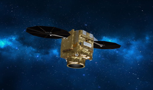
Pléiades celebrates 10 years and extends satellite fleet with Pléiades Neo
ESA is proud to mark the 10-year milestone of the Pléiades programme, a forerunner in providing very high resolution (VHR) commercial satellite imagery ideal for precision mapping and in-depth intelligence.

