- All Categories (64)
- Data (6)
- News (23)
- Missions (4)
- Events (2)
- Tools (10)
- Activities (2)
- Documents (17)
Document - Product Document
Landsat-7-Level-1-Product-Output-Files-Data-Format-Control-Book
This Data Format Control Book (DFCB) provides the user with a high-level description of the Landsat 7 Level 1 (L1) distribution product, product packaging, and viewing tools.
Document - Product Document
Urban-Atlas-Data-Coverage-WorldView-2.pdf
14EUSI-1961 Urban Atlas Data Coverage with WorldView-2 Data
Document - Product Document
LANDSAT_Products_Description_Document.pdf
This document acts as a User Guide to the Landsat MSS, TM and ETM+ archives, focussing more specifically on the Landsat TM and ETM+ products from the Kiruna, Maspalomas and Matera archives (including from the Matera, Fucino, Neustralitz, O’Higgins, Malindi, Libreville and Bishkek ground stations) that have been generated as part of the ESA archive bulk-reprocessing project.
Event - Workshop
CEOS-IVOS Workshop on Inter-comparison of Large Scale Optical and Infrared Sensors
The 2004 workshop was an opportunity to present and exchange experiences and knowledge from work on inter-comparing large scale optical sensors at different product levels.
Mission - Heritage Missions
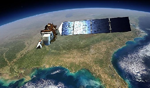
Landsat-7
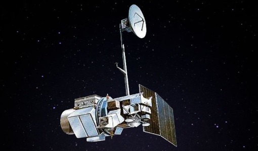
Landsat-7 is a joint USGS and NASA-led Earth observation mission, which was launched in 1999 and remains operational.
Mission - Third Party Missions
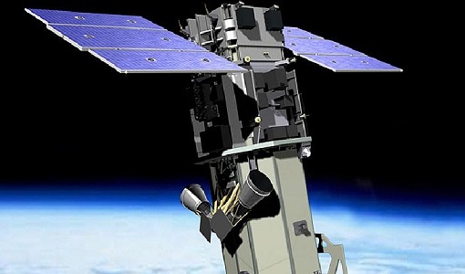
WorldView-2
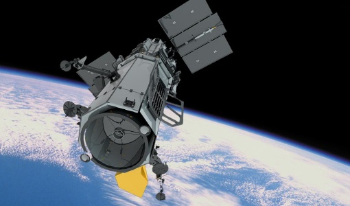
WorldView-2 is an environment-monitoring satellite from Maxar which presents images as the human eye can perceive them, creating a more realistic 'true colour' view of the world.
News - Success Stories
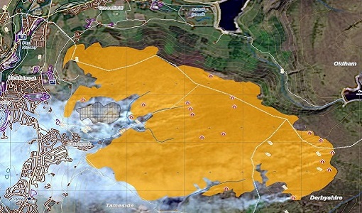
Satellite data allows real-time detection of potential fires
A pilot Fire Detection Service, based on real-time processing of Landsat-8 data being assessed within the framework of ESA's Earthnet Programme.
News - Operational News
Landsat-8 web portal now available on new environment
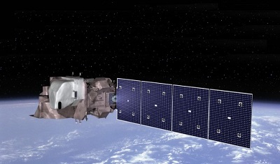
The Landsat-8 Portal service has been migrated to a new server and is accessible on the previous web address.
Tools - Visualisation
HEDAVI
The HEDAVI (HEritage DAta Visualisation) service enables users to discover a wealth of heritage data from ESA's ERS and Envisat missions, as well as from Landsat-5 and Landsat-7.
Activity - Quality
SLAP
The SLAP (Systematic Landsat Archive Processing) project covers the MSS, TM and ETM+ products from Landsat missions 1 – 7, and is the first systematic reprocessing of the ESA Landsat archive.
Tools - Analysis
SNAP
SNAP is a common architecture for all Sentinel Toolboxes. It is ideal for Earth observation processing and analysis.
Document - Product Document
landsat-products-description-document.pdf
LANDSAT Products Description Document
Activity - Quality
EDAP
The ESA Earthnet Data Assessment Pilot (EDAP) project will perform assessments for various missions to ensure the delivered data is fit for purpose.
Document - Product Document
LANDSAT Products Description Document.pdf
LANDSAT products, algorithm and processing description document (MSS, TM and ETM+)
Mission - Third Party Missions
WorldView Series
The WorldView constellation are environment-monitoring satellites that have been supplying imagery since 2007.
Mission - Heritage Missions
Landsat Series
The Landsat Series is the world's longest running system of satellites for moderate-resolution optical remote sensing for land, coastal areas and shallow waters.
Tools - Analysis
Sentinel-2 Toolbox
The Toolbox consists of a rich set of visualisation, analysis and processing tools for the exploitation of optical high-resolution products including the Sentinel-2 MSI sensor.
Data - EO Sign In Authentication (Open)
Landsat 7 ETM+ (Enhanced Thematic Mapper Plus) Geolocated Terrain Corrected Systematic processing
This dataset contains all the Landsat 7 Enhanced Thematic Mapper high-quality ortho-rectified L1T dataset (or L1Gt where not enough GCPs are available) over Kiruna, Maspalomas, Matera and Neustrelitz visibility masks. The Landsat 7 ETM+ scenes typically covers 185 x 170 km. A standard full scene is nominally centred on the intersection between a Path and Row (the actual image centre can vary by up to 100m). Each band requires 50MB (uncompressed), and Band 8 requires 200MB (panchromatic band with resolution of 15 m opposed to 30 m).
