- All Categories (42)
- Data (1)
- News (11)
- Events (12)
- Tools (9)
- Activities (2)
- Documents (7)
Document - Proceedings
EO-Summer-School-4-The-Earth-Observation-Programme-at-ESA.pdf
This presentation from ESA's EO Summer School 4 describes 2008 the Earth Observation Programme at ESA
Document - Proceedings
ERS-Envisat-symposium-proceedings.pdf
This document contains the proceedings of the ERS-Envisat Symposium, which took place in 2000.
Document - Proceedings
Fringe-2011-workshop-session-summaries.pdf
This document contains the session summaries from the session summaries of the Fringe 2011 workshop.
Event - Training
Advanced Training Course in Ocean Remote Sensing 2011
Within the framework of the Dragon Programme, a joint collaboration between the European Space Agency (ESA) and the Chinese Ministry of Science and Technology (MOST), ESA and NRSCC are providing a series of advanced thematic training courses on remote sensing applications hosted by university and research institutions in P.R. China.
Event - Training
3rd Advanced Training Course on Land Remote Sensing 2011
This 2011 advanced ESA training course focused on land remote sensing theory and applications.
Event - Training
Advanced Training Course in Land Remote Sensing 2012
The 2012 advanced training course focused on land remote sensing theory and applications.
News - Operational News
Envisat-ERS (A)SAR - Enhanced Dissemination Service
ESA is pleased to announce the release of several new features as part of the ESA On-The-Fly data processing and dissemination service.
Tools - Visualisation
HEDAVI
The HEDAVI (HEritage DAta Visualisation) service enables users to discover a wealth of heritage data from ESA's ERS and Envisat missions, as well as from Landsat-5 and Landsat-7.
Document - Proceedings
Third ESA International Conference on Spacecraft Guidance, Navigation and Control Systems
The proceedings from the Third ESA International Conference on Spacecraft Guidance, Navigation and Control Systems, which took place at ESTEC in Noordwijk, the Netherlands, from 26 to 29 November 1996, are presented here.
Document - User Guide
Envisat and ERS Missions Data Access Guide
The purpose of this document is to help users identify the various types of data that are available from the ENVISAT, ERS-1 and ERS-2 Earth observing satellites, the kind of applications that the data may be used for and, importantly, the practical procedures required for access - including user registration and then search, selection and retrieval or ordering of the data of interest.
Document - User Guide
ASAR-OTF-user-manual.pdf
This document describes the (A)SAR On-The-Fly Data Dissemination and Processing Service, which provides access to data from the ERS and Envisat missions.
Tools - Analysis
SNAP
SNAP is a common architecture for all Sentinel Toolboxes. It is ideal for Earth observation processing and analysis.
Tools - Analysis
Sentinel-1 Toolbox
The Toolbox consists of: processing tools, data product readers and writers and a display and analysis application to support the archive of SAR data from ESA and 3rd party missions.
Data - Announcement of Opportunity (Restrained)
Announcement of Opportunity for G-POD
ESA is offering all scientists the possibility to perform bulk processing and/or validation of their own algorithms exploiting the large ESA Earth-observation archive.
Event - Workshop
Fringe 2011 Workshop
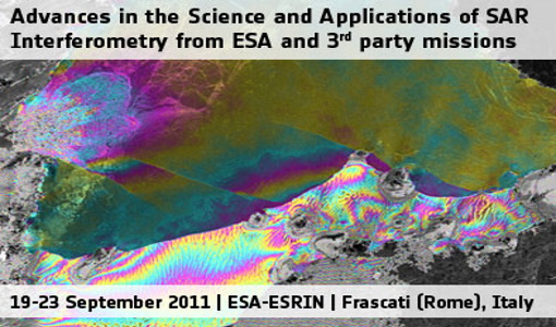
Fringe 2011 was the 8th International Workshop on "Advances in the Science and Applications of SAR Interferometry".
Event - Workshop
SEASAR 2012
The European Space Agency and the Norwegian Space Centre jointly organised the fourth SAR oceanography workshop, 'SEASAR 2012', entitled 'Advances in SAR Oceanography'.
Document - Proceedings
Fringe-2011-workshop-recommendations.pdf
This document contains the recommendations from the session summaries of the Fringe 2011 Workshop.
Tools - Other
Geohazards TEP
The Geohazards Thematic Exploitation Platform (TEP) aims to provide Earth observation data for supporting geohazards applications.
Tools - Other
Forestry TEP
The Forestry Thematic Exploitation Platform (TEP) enables users in the forestry sector to access satellite data based processing services and tools for generating value-added forest information products.
News - Operational News
EOLi-SA now dismissed
EOLi-SA Catalogue and Ordering Service is now dismissed and replaced by the ESA Simple Online Catalogue which was released in early January 2019.


