- All Categories (20)
- News (6)
- Events (6)
- Tools (3)
- Activities (3)
- Documents (2)
News - Success Stories
ESA missions help to reveal worldwide lake water loss trend
Climate change, human consumption and sedimentation are depleting more than half of the world’s biggest lakes of water, according to a ground-breaking analysis that drew on three decades of satellite data.
News - Success Stories
ESA missions deliver new long-term perspective on sea ice decline
A 29-year timeseries of polar sea ice thickness and volume that draws on altimetry data from a succession of ESA missions has been presented at the European Geoscience Union general assembly.
Tools - Catalogues
FedEO
FedEO is a data catalogue that provides a unique entry point to a number of scientific catalogues and services for, but not limited to, European and Canadian missions.
Tools - Catalogues
EO CAT
EO CAT is a data catalogue, offering a Next Generation Earth Observation system designed to manage end-user Earth Observation services.
News - Success Stories
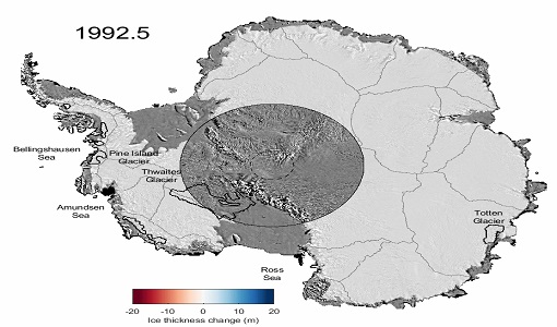
Decades of satellite data reveal the risks of climate tipping points
Decades-long time series that draw on ESA’s Earth observation archives are enabling scientists to uncover the threat of sudden and potentially irreversible changes to the icy parts of the planet.
Event - Conference
Dragon 3 2014 Symposium
The Dragon 3 2014 Symposium was part of the Dragon 3 Programme, focussed on exploitation of ESA, ESA's Third Party Missions and Chinese Earth observation data for geo-science and applications development in land, ocean and atmospheric applications.
Event - Conference
Dragon 3 2015 Symposium
The Dragon 3 2015 Symposium was part of the Dragon 3 Programme, focussed on exploitation of ESA, ESA's Third Party Missions and Chinese Earth observation data for geo-science and applications development in land, ocean and atmospheric applications.
Event - Conference
Dragon 3 2016 Symposium
The Dragon 3 2016 Symposium served as the close of the Dragon 3 Cooperation Programme (2012 to 2016) and formal kick off for Dragon 4 Cooperation projects.
News - Thematic area articles
Satellites reveal changes to Earth’s icy zones
ESA’s Earth observation activities are helping scientists investigate the influence of climate change on widespread ice-losses across the planet.
Activity - Projects
Dragon 3 Cooperation Programme
The Dragon 3 Programme focussed on the exploitation of ESA, ESA's Third Party Missions and Chinese Earth observation data for geo-science and applications development in land, ocean and atmospheric applications.
Event - Training
EO Summer School 3
ESA's series of summer schools, on Monitoring of the Earth System, aims to promote the exploitation of Earth observation data.
Event - Conference
Living Planet Symposium 2022
Learn about the 2022 edition of ESA's Living Planet Symposium.
News - Thematic area articles
Transforming space data into climate action
ESA’s Earth observation activities are playing a key role in the revitalised global drive to combat climate change.
News - Success Stories
How Envisat helped to shape global understanding of Earth’s systems
Twenty years have passed since a ground-breaking European spacecraft designed to deliver unprecedented insight into the planet’s changing environment was lofted into orbit.
Activity - Projects
Dragon 2 Cooperation Programme
The Dragon 2 Programme focussed on the exploitation of ESA, ESA's Third Party Missions and Chinese Earth observation data for science and applications development in land, ocean and atmospheric applications.
Activity - General activities
GSCB and LTDP
The Copernicus programme is based on a fleet of European Earth observation satellites, built and operated by ESA, member states and commercial entities. Copernicus will also offer data from non-European satellites.
Tools - Other
Broadview Radar Altimetry Toolbox
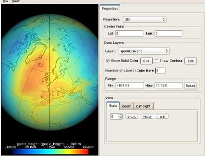
BRAT is an extensive tutorial on what is altimetry, techniques used and examples of usage of data; plus software to read, process and visualise altimetry data.
Event - Training
Advanced Training Course in Land Remote Sensing 2012
The 2012 advanced training course focused on land remote sensing theory and applications.
Document - General Reference
ESA-Achievements-More-than-thirty-years-of-pioneering-space-activity.pdf
This volume gives a general overview of ESA's activities and programmes by analyzing the single missions where it is involved.
Document - Proceedings
ERS-Envisat-symposium-proceedings.pdf
This document contains the proceedings of the ERS-Envisat Symposium, which took place in 2000.


