- All Categories (1023)
- Data (15)
- News (180)
- Missions (3)
- Events (38)
- Tools (10)
- Activities (40)
- Documents (737)
DATA
Discover and download the Earth observation data you need from the broad catalogue of missions the European Space Agency operate and support.
Data - Sample Data (Open)
IRS-P5 (Cartosat-1) Sample Data
Download free IRS-P5 (Cartosat-1) sample datasets to preview products available for this mission.
Data - Fast Registration with approval (Restrained)
European Cities: Cartosat-1 Euro-Maps 3D
A large number of European cities are covered by this dataset; for each city you can find one or more Cartosat-1 ortho image products and one or more Euro-Maps 3D DSM tiles clipped to the extent of the ortho coverage. The Euro-Maps 3D DSM is a homogeneous, 5 m spaced Digital Surface Model semi-automatically derived from 2.5 m Cartosat-1 in-flight stereo data with a vertical accuracy of 10 m. The very detailed and accurate representation of the surface is achieved by using a sophisticated and well adapted algorithm implemented on the basis of the Semi-Global Matching approach. The final product includes several pixel-based quality and traceability layers: The dsm layer (*_dsm.tif) contains the elevation heights as a geocoded raster file The source layer (*_src.tif) contains information about the data source for each height value/pixel The number layer (*_num.tif) contains for each height value/pixel the number of IRS-P5 Cartosat-1 stereo pairs used for the generation of the DEM The quality layer (*_qc.tif) is set to 1 for each height/pixel value derived from IRS-P5 Cartosat-1 data and which meets or exceeds the product specifications The accuracy vertical layer (*_acv.tif) contains the absolute vertical accuracy for each quality controlled height value/pixel. The ortho image is a Panchromatic image at 2.5 m resolution. The following table defines the offered product types. EO-SIP product type Description PAN_PAM_3O IRS-P5 Cartosat-1 ortho image DSM_DEM_3D IRS-P5 Cartosat-1 DSM
Data - Open access (Open)
Swarm Level 1B
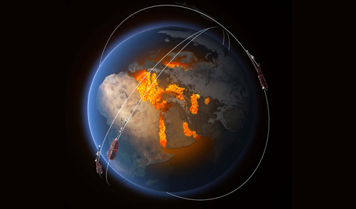
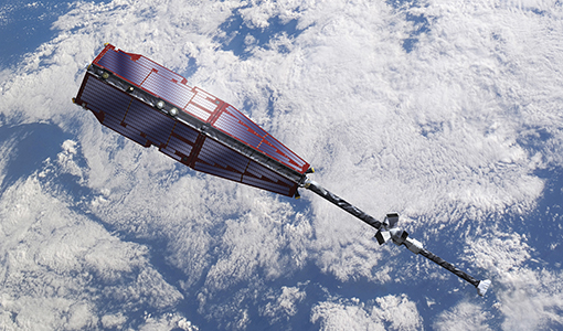
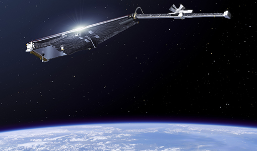
The Level 1b products of the Swarm mission contains time-series of quality-screen, calibrated, and corrected measurements given in physical, SI units in geo-localized reference frames. Level 1b products are provided individually for each of the three satellites Swarm A, Swarm B, and Swarm C on a daily basis.
Data - Open access (Open)
Swarm Geodesy/Gravity
Monthly gravity field of the Earth, non-gravitational accelerations.
Data - Open access (Open)
Swarm Ionosphere/Magnetosphere
Spherical harmonic model of the large-scale magnetospheric field and its Earth-induced counterpart, spherical harmonic model of the daily geomagnetic variation at middle latitudes and low latitudes, Ionospheric bubble index, ionospheric total electron content, ionosphericfield-aligned currents, dayside ionospheric equatorial electric field, ionospheric plasma density and plasma irregularities.
Data - Open access (Open)
Swarm Level 2 daily
The Swarm Level 1b data products are the corrected and formatted output from each of the three Swarm satellites. By a complex assimilation of these individual satellite measurements into one set of products for the satellite constellation, the Swarm Level 2 Processor ensures a very significant improvement of the quality of the final scientific data products.
Data - Open access (Open)
Swarm Core
Spherical harmonic model of the main (core) field and its temporal variation.
Data - Open access (Open)
Swarm Space Weather
Environmental conditions in Earth's magnetosphere, ionosphere and thermosphere due to the solar activity that drive the Sun-Earth interactions.
Data - Open access (Open)
Swarm Level 2 longterm
The Swarm Level 2 Long Term data products are the corrected and formatted output from each of the three Swarm satellites. By a complex assimilation of these individual satellite measurements into one set of products for the satellite constellation, the Swarm Level 2 Processor ensures a very significant improvement of the quality of the final scientific data products.
Data - Project Proposal (Restrained)
CartoSat-1 archive and Euro-Maps 3D Digital Surface Model
CartoSat-1 (also known as IRS-P5) archive products are available as PAN-Aft (backward), PAN-Fore (forward) and Stereo (PAN-Aft and PAN-Fore). Sensor Products Type Resolution (m) Coverage (km x km) System or radiometrically corrected Ortho corrected (DN) Neustralitz archive Global archive PAN PAN-Aft (backward) PAN-Fore (forward) Stereo (PAN-Aft+PAN-Fore) Panchromatic 2.5 27 x 27 X X 2007 - 2016 2005 - 2019 Note: Resolution 2.5 m. - Coverage 27 km x 27 km System or radiometrically corrected. For Ortho corrected products, if unavailable, user has to supply ground control information and DEM in suitable quality For Stereo ortho corrected: only one of the datasets will be ortho corrected. Euro-Maps 3D is a homogeneous, 5 m spaced digital surface model (DSM) semi-automatically derived from 2.5 m in-flight stereo data provided by IRS-P5 CartoSat-1 and developed in cooperation with the German Aerospace Center, DLR. The very detailed and accurate representation of the surface is achieved by using a sophisticated and well adapted algorithm implemented on the basis of the Semi-Global Matching approach. In addition, the final product includes detailed flanking information consisting of several pixel-based quality and traceability layers also including an ortho layer. Product Overview Post spacing 5 m Spatial reference system DD, UTM or other projections on WGS84 Height reference system EGM96 Absolute vertical accuracy LE90 5-10 m Absolute Horizontal Accuracy CE90 5-10 m Relative vertical accuracy LE90 2.5 m File format GeoTIFF, 16 bit Tiling 0.5° x 0.5° Ortho Layer Pixel Size 2.5 m The CartoSat-1 products and Euro-Maps 3D are available as part of the GAF Imagery products from the Indian missions: IRS-1C, IRS-1D, CartoSat-1 (IRS-P5), ResourceSat-1 (IRS-P6) and ResourceSat-2 (IRS-R2) missions. Euro-Maps 3D available data map
Data - Announcement of Opportunity (Restrained)
Closed ESA announcement of opportunities
Find out about closed ESA announcement of opportunities and what these opportunities involved, for historical reference.


