- All Categories (23755)
- Data (29)
- News (103)
- Missions (2)
- Events (12)
- Tools (14)
- Activities (6)
- Campaigns (6)
- Documents (23583)
DATA
Discover and download the Earth observation data you need from the broad catalogue of missions the European Space Agency operate and support.
Data - Campaigns (Open)
CryoVEx 2003
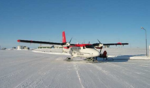
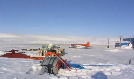
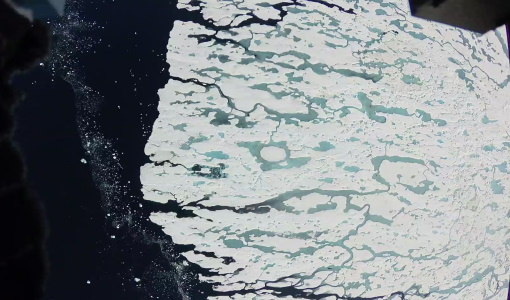
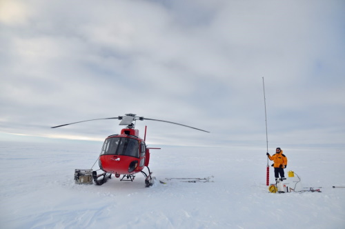
The CryoVEx (CryoSat Validation EXperiment) 2003 campaign was a first comprehensive Arctic Ocean airborne and surface campaign, in support of the ESA satellite CryoSat, planned for launch late 2004.
Data - Campaigns (Open)
CryoVEx 2004
CryoVex 2004 was the second combined airborne and surface campaign for the preparation of the CryoSat mission, after successful completion of CryoVex 2003 by DTU.
Data - Campaigns (Open)
CryoVEx 2005
CryoVEx 2005 was the third combined airborne and surface campaign for the preparation of the CryoSat mission. It followed the 2004 campaign, which first utilised the new ASIRAS radar.
Data - Campaigns (Open)
CryoVEx 2006
CryoSat Validation Experiment (CryoVEx) 2006 was carried out between 18 April and 18 May 2006 in the Arctic.
Data - Campaigns (Open)
CryoVEx 2007
Following the successful 2004, 2005 and 2006 campaigns, the CryoVEx2007 campaign took place in Svalbard from 15 to 25 April 2007.
Data - Campaigns (Open)
CryoVEx 2008
The ESA CryoSat Validation Experiment, CryoVEx 2008 was carried out in April and May 2008.
Data - Campaigns (Open)
CryoVEx 2010
CryoVEx 2010 was the first CryoSat post-launch campaign to take place. It was set up as a test campaign for the upgraded ASIRAS system.
Data - Campaigns (Open)
CryoVEx 2011
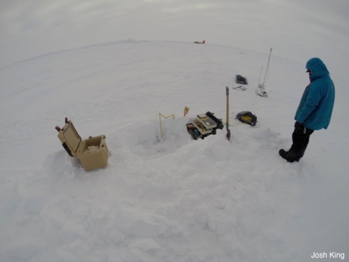
The aims of the CryoSat Validation Experiment (CryoVEx) 2011 was to study the snow and ice characteristics of Arctic sea ice and its snow cover.
Data - Campaigns (Open)
CryoVEx 2012
In continuation of the CryoVEx campaign in 2011, ESA initiated a second Arctic post-launch campaign in 2012 to further calibrate and validate CryoSat data products.
Data - Campaigns (Open)
CryoVEx AEM
CryoVEX 2014 performed measurements over the Beaufort Sea and Arctic Ocean north of Canada (Ellesmere Island) and Greenland. Airborne surveys and ground‐based snow and ice measurements were performed.
Data - Campaigns (Open)
CryoVEx 2016 Spring
The CryoVEx 2016 campaign was primarily carried out to follow up on a recommendation given within ESA CryoVal Land Ice project (2014-2015), where it was found that the traditional under-flights of the CryoSat-2 satellite were inadequate.
Data - Campaigns (Open)
CryoVEx ASIRAS 2014
The CryoVEx 2014 airborne campaign was conducted as two separate operational periods. The sea ice activities covering large parts of the western Arctic Ocean were planned to take place early in the season to make sure the weather was stable.
Data - Campaigns (Open)
CryoVEx ICESat-2 Summer 2019
The ESA CryoVEx/ICESat‐2 summer campaign 2019 is an add‐on to the campaign carried out in the spring 2019, which did not cover all the flights that were planned due to weather obstacles.
Data - Campaigns (Open)
CryoVEx/KAREN Antarctica 2017/18
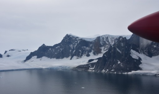
ESA’s CryoVEx/Karen 2017‐18 campaign took place in Antarctica in from Dec 2017 to Jan 2018. The campaign was composed of an airborne and in‐situ campaign and acquired extensive data sets of scanning lidar, Ku‐ and Ka‐band nadir‐looking radar, and auxiliary imagery for validation of the ESA CryoSat‐2 satellite (Ku‐band radar altimetry) and the French‐Indian AltiKa mission (Ka‐band radar altimetry).
Data - Campaigns (Open)
CryoVEx KAREN 2016 Fall
The CryoVEx-KAREN 2016 Fall Campaign in Ilulissat, Greenland had the goal to collect unique measurements to help us better understand how snow and ice on the Greenland ice sheet is changing over time, and help ESA design future space missions to monitor the changing climate in our polar regions.
Data - Campaigns (Open)
CryoVEx KAREN 2017
The CryoVEx-KAREN 2017 Campaign in the Arctic had the goal to collect unique measurements to help us better understand how sea ice is changing.
Data - Campaigns (Open)
CryoVEx/ICESat-2 Spring 2019
The ESA Spring CryoVEx/ICESat-2 campaign 2019 was the first CryoVEx campaign since the launch of NASA ICESat-2 in September 2018, and aimed at cross-validating ESA CryoSat-2 and NASA ICESat-2 missions over sea ice and land ice in the Arctic.
Data - Fast Registration with approval (Restrained)
ERS-1/2 ATSR Averaged Surface Temperature [AT1/AT2_AR__2P]
The Averaged Surface Temperature Product (AST) contains averaged geophysical data at two different resolutions, and with respect to two different averaging schemes: measurement data sets at resolutions of 0.5 by 0.5 degrees and 10 by 10 arcmin with respect to a latitude/longitude grid; other data sets contain data averaged over equal area cells of 50 by 50 km and 17 by 17 km aligned with the satellite ground track. Both top-of-atmosphere and surface data sets are provided. The surface temperature data sets provide, for sea cells, nadir and dual view sea surface temperatures, and for land cells, land surface temperature (currently 11 micron BT) and NDVI. Cloud data is also included. No ADS are included in the AST product; auxiliary data is contained within the MDS. The data sets of the AST product are arranged by surface type and resolution. The 3rd reprocessing of ATSR data was performed in 2013; the processing updates that have been put in place and the scientific improvements are outlined in full in the User Summary Note for the Third ERS ATSR Reprocessing.
Data - External Data (Restrained)
ERS-1/2 ATSR ARC Level 3 products [AT1/AT2_AVG_3PAARC]
The recommended ATSR Level 3 products for Sea Surface Temperature (SST) applications are the ARC (ATSR Re-processing for Climate) Level 3 products. ARC reprocesses the ATSR multi-mission archive using new cloud detection and SST retrievals to produce a homogenous record of sea surface temperature. The main ARC objective is to reduce regional biases in retrieved SST to less than 0.1 K for all global oceans while creating a very homogenous record with a stability (lack of drift in the observing system and analysis) of 0.05 K per decade. ARC products are available for ATSR-1, ATSR-2 and AATSR. ARC products are provided in netCDF format and contain data for both the skin SST and the SST estimated for depths of 0.2 and 1.0 m (corresponding approximately to drifter and moored buoy depths). The AATSR estimated depth SSTs are adjusted to a local equatorial crossing time of 10:30 (approximately half an hour after observation), to provide continuity with ATSR-1 and ATSR-2 data. The ARC project was led by Chris Merchant (University of Reading, formerly of the University of Edinburgh) and funded by NERC and the UK Government.
Data - Fast Registration with approval (Restrained)
ERS-1/2 ATSR Gridded Brightness Temperature/Reflectance [AT1/AT2_TOA_1P]
The Gridded Brightness Temperature/Reflectance (GBTR) product contains top of atmosphere (TOA) brightness temperature (BT) values for the infra-red channels and reflectance values for the visible channels. Values for each channel and for the nadir and forward views occupy separate measurement data sets. Additional MDS contain cloud and land/sea flags and confidence flags for each image pixel. The 3rd reprocessing of ATSR data was performed in 2013; the processing updates that have been put in place and the scientific improvements are outlined in full in the User Summary Note for the Third ERS ATSR Reprocessing.
