- All Categories (384)
- Data (4)
- News (2)
- Missions (1)
- Events (3)
- Tools (2)
- Activities (2)
- Campaigns (3)
- Documents (367)
DATA
Discover and download the Earth observation data you need from the broad catalogue of missions the European Space Agency operate and support.
Data - Fast Registration with immediate access (Open)
ERS-1/2 SCATTEROMETER Ocean Wind field and Sea Ice probability [ASPS20.H/ASPS20.N]
The ASPS Level 2 products contain, for each node: the radar backscattering sigma nought for the three beams of the instrument, the four aliased wind solutions (Rank 1-4 wind vector) and the de-aliased wind vector flag, the sea-ice probability and sea-ice flag, the YAW quality flag. The wind retrieval is performed with the CMOD5N geophysical model function derived by ECMWF to compute the neutral winds rather than 10 m winds. ASPS L2.0 High resolution products are provided with a spatial resolution of 25x25 km and a grid spacing of 12.5 km. ASPS L2.0 Nominal resolution products are provided with a spatial resolution of 50x50 km and a grid spacing of 25 km. One product covers one orbit from ascending node crossing. Please consult the Product Quality Readme file before using the ERS ASPS data.
Data - Campaigns (Open)
AROMAT-II
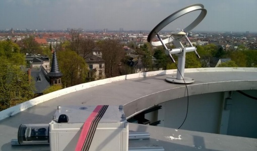
This campaign covers the fields of atmospheric composition: NO2, SO2, aerosols, over Romania (Bucharest and Turceni) and Germany (Berlin).
Data - Campaigns (Open)
NoSREx-I -II and -III
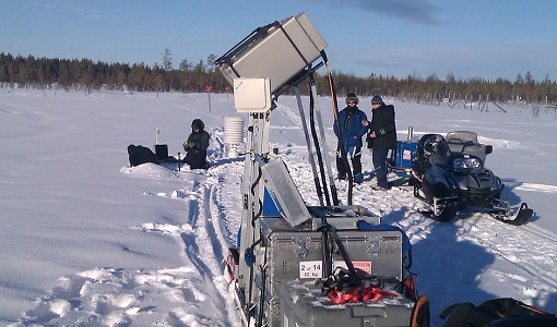
The Nordic Snow Radar Experiment (NoSREx) took place between November 2009 and May 2010. The objective of the campaign was to provide a continuous time series of active and passive microwave observations of snow cover in a representative location.
Data - Campaigns (Open)
ROVE (1975-1981)
The Dutch research team ROVE (Radar Observation on Vegetation), funded by the remote sensing organization NIWARS, started in 1974 to investigate the scattering of microwaves by crops and soils, in order to help interpretation of radar imagery.

