- All Categories (24951)
- Data (23)
- News (212)
- Missions (11)
- Events (45)
- Tools (34)
- Activities (10)
- Campaigns (37)
- Documents (24579)
CAMPAIGNS
Learn about the ground-based, ship-borne, balloon-borne, and airborne campaigns and small satellite field experiments that validate orbiting ESA EO satellites and support future mission development.
Campaign
 2000 - 2001
WISE
The objective of WInd and Salinity Experiment 2001 (WISE 2001) campaign was to get more data points and better wind speed measurements.
Campaign
 2014
2014SMOSice
The ESA SMOSice study has demonstrated for the first time the potential to retrieve sea ice thickness from SMOS data.
Campaign
 2013
2013SEN2EXP
In the SEN2EXP campaign, the data gap for broad leaf forests is addressed as suitable reference datasets of sufficient quality do not exist.
Campaign
 2015 - 2016
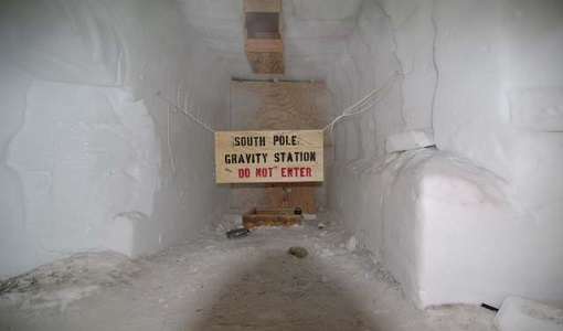
PolarGap
The primary objective of the PolarGap campaign was to carry out an airborne gravity survey covering the southern polar gap of the gravity field mission GOCE, beyond the coverage of the GOCE orbit.
Campaign
 2000 - 2002
LOSAC
The L-band Ocean Salinity Airborne Campaign (LOSAC) objective is to understand the nature of the wind driven signatures in order to evaluate if corrections are necessary prior to salinity estimations based on the radiometer signals.
Campaign
 2002
2002LaRA
To improve our knowledge of how best to measure ice thickness, the airborne Laser and Radar Altimeter campaign (LaRA) was carried out over the frozen expanses of northern Greenland.
Campaign
 2002
2002ESAG
The European Survey of Arctic Gravity (ESAG) campaign objective was to acquire measurements of the Arctic Ocean, in support of GOCE mission; and acquire scanning laser ranging data and profiling laser altimetry over sea-ice north of Greenland.
Campaign
 2006
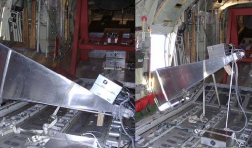
2006EAGLE
The general purpose of the EAGLE2006 campaign was: Acquisition of simultaneous multi-angular and multi-sensor (from visible to microwave domain) data over a grassland and a forest.
Campaign
 2013 - 2017
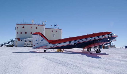
DOMEX-3
The DOMEX-3 experiment is the follow on of two previous experiments called DOMEX-1 and DOMEX-2 which were successfully conducted at Concordia base, Antarctica
Campaign
 2010
2010DOMEX-2
The DOMEx-2 campaign is part of the calibration and validation activities of the SMOS mission, which is one of Earth Explorers within ESA's Living Planet programme.
Campaign
 2004
2004DOMEX-1
The purpose of the DOMEX experiment was to acquire the first combined, in-situ microwave emission measurements using C- and L-band radiometers.
Campaign
 2013
2013DOMECair (SMOS)
The purpose of this campaign was to assess the merits of the East Antarctic Plateau around Dome C with the Concordia station as a candidate for an Earthly calibration site. It was an airborne campaign in Antarctica supporting SMOS calibration.
Campaign
 2013
2013DOMECair (GOCE)
The airborne survey DOMECair 2013 and its instrumentation was designed to obtain calibration and validation data for two different satellite missions of ESA’s Earth Explorer mission, for satellites SMOS and GOCE.
Campaign
 2011
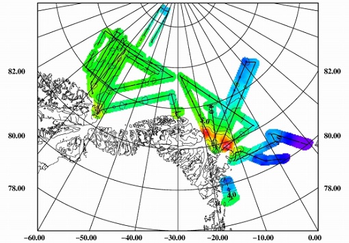
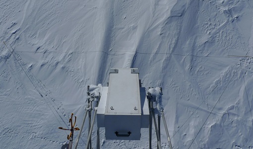
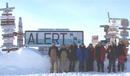
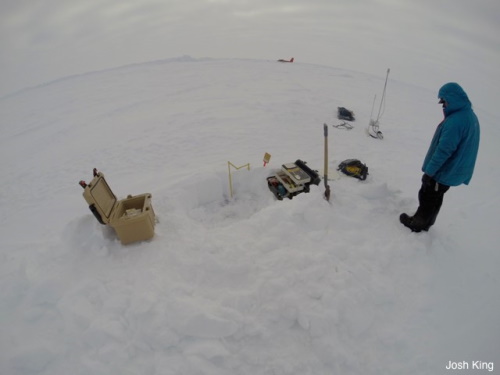
2011CryoVExGround 2011
The aims of the CryoVEx 2011 experiment, operating out of Alert base, was to study the snow and ice characteristics of Arctic sea ice and its snow cover during winter.
Campaign
 2014 - 2015
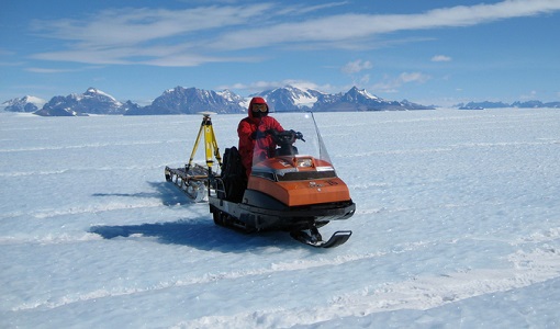
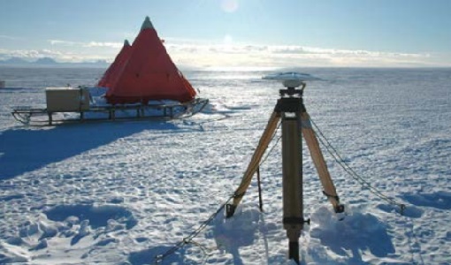
CryoVExAnt 2014/2015
The aim of CryoVEx Ant 2014 to 2015 was to perform altimeter measurements at a designated validation site in the vicinity of the Schirmacher Oasis, near Kohnen and Neumayer as well as in the Pine Island Glacier drainage basin.
Campaign
 2010 - 2011
CryoVExAnt 2010/2011
The CryoVEx 2010/2011 Antartic campaign was carried out in Dronning Maud Land from 11 November 2010 to 20 February 2011.
Campaign
 2008 - 2009
CryoVExAnt 2008/2009
The key objective of the CryoSat Validation Experiment Antarctica (CryoVExAnt) campaign is a better approximation of the error range of the elevation obtained from SAR-processed altimetric radar returns and its sensitivity to surface roughness.
Campaign
 2017 - 2018
CryoVEx/KAREN Antarctica 2017/18
ESA’s CryoVEx/Karen 2017‐18 campaign took place in Antarctica in from Dec 2017 to Jan 2018. The campaign was composed of an airborne and in‐situ campaign and acquired extensive data sets of scanning lidar, Ku‐ and Ka‐band nadir‐looking radar, and auxiliary imagery for validation of the ESA CryoSat‐2 satellite (Ku‐band radar altimetry) and the French‐Indian AltiKa mission (Ka‐band radar altimetry).
Campaign
 2019
2019CryoVEx/ICESat-2 Spring 2019
The ESA Spring CryoVEx/ICESat-2 campaign 2019 was the first CryoVEx campaign since the launch of NASA ICESat-2 in September 2018, and aimed at cross-validating ESA CryoSat-2 and NASA ICESat-2 missions over sea ice and land ice in the Arctic.
Campaign
 2017
2017CryoVEx KAREN 2017
The CryoVEx-KAREN 2017 Campaign in the Arctic had the goal to collect unique measurements to help us better understand how sea ice is changing.