- All Categories (978)
- Data (12)
- News (46)
- Missions (3)
- Events (19)
- Tools (3)
- Activities (1)
- Campaigns (7)
- Documents (887)
CAMPAIGNS
Learn about the ground-based, ship-borne, balloon-borne, and airborne campaigns and small satellite field experiments that validate orbiting ESA EO satellites and support future mission development.
Campaign
 2007
2007CEFLES2
The objective of the CEFLES2 campaigns was to provide key reference data and background knowledge for the preparatory phases of the Sentinel‐2 and FLEX missions.
Campaign
 2005 - 2010
CoSMOS 2005, 2007, 2008, 2010
The Campaign for Validating the Operation of SMOS (coSMOS) was designed to acquire SMOS-like data so that the algorithms were fine-tuned and properly validated before the launch of SMOS mission in 2007.
Campaign
 2006
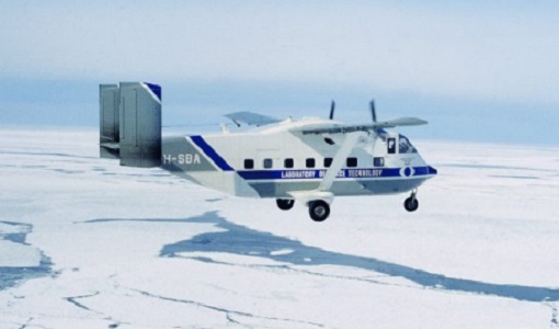
2006CoSMOS 2006
ESA conducted an airborne campaign to map sea surface salinity named "CoSMOS-OS" that took place in April 2006 over the Norway Sea off the coast of Stavenger.
Campaign
 2004
2004DOMEX-1
The purpose of the DOMEX experiment was to acquire the first combined, in-situ microwave emission measurements using C- and L-band radiometers.
Campaign
 2000 - 2002
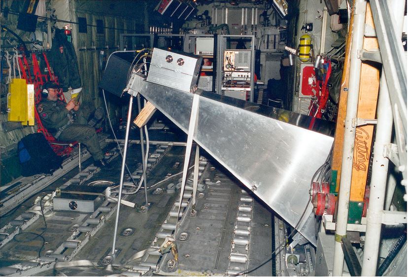
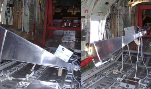
LOSAC
The L-band Ocean Salinity Airborne Campaign (LOSAC) objective is to understand the nature of the wind driven signatures in order to evaluate if corrections are necessary prior to salinity estimations based on the radiometer signals.
Campaign
 2003 - 2004
SPARC
ESA's SPectra bARrax Campaign (SPARC) activity was part of the preparatory study for a proposed ESA Earth Explorer mission called SPECTRA. The objective was to collect a CHRIS/PROBA reference dataset for SPECTRA-related studies.
Campaign
 2000 - 2001
WISE
The objective of WInd and Salinity Experiment 2001 (WISE 2001) campaign was to get more data points and better wind speed measurements.