- All Categories (173)
- News (13)
- Events (5)
- Tools (1)
- Activities (2)
- Campaigns (4)
- Documents (148)
News - General News
ESA's excellent Earth Explorer missions extended to 2025
Since 2009, ESA’s Earth Explorer missions have pioneered breakthrough technologies and transformed our understanding of Earth’s system, from its core to the outer stretches of the atmosphere.
Event - Conference

Dragon 3 2014 Symposium
The Dragon 3 2014 Symposium was part of the Dragon 3 Programme, focussed on exploitation of ESA, ESA's Third Party Missions and Chinese Earth observation data for geo-science and applications development in land, ocean and atmospheric applications.
Event - Conference
Dragon 3 2015 Symposium
The Dragon 3 2015 Symposium was part of the Dragon 3 Programme, focussed on exploitation of ESA, ESA's Third Party Missions and Chinese Earth observation data for geo-science and applications development in land, ocean and atmospheric applications.
Event - Conference

Dragon 3 2016 Symposium
The Dragon 3 2016 Symposium served as the close of the Dragon 3 Cooperation Programme (2012 to 2016) and formal kick off for Dragon 4 Cooperation projects.
Activity - Projects
Dragon 3 Cooperation Programme
The Dragon 3 Programme focussed on the exploitation of ESA, ESA's Third Party Missions and Chinese Earth observation data for geo-science and applications development in land, ocean and atmospheric applications.
Event - Conference

Living Planet Symposium 2022
Learn about the 2022 edition of ESA's Living Planet Symposium.
News - Thematic area articles

Satellite data central to ocean monitoring
Over 95% of Earth’s water is found in our oceans, and yet sadly, oceans are under stress from climate change and pollution. Monitoring our oceans is vital for Earth’s survival and satellites are the primary means of long-term and independent observation of our vast ocean bodies and their associated coastal zones.
Document - General Reference

Spacelab-in-context.pdf
This document provides an overview of Spacelab, a joint ESA-NASA laboratory that was carried aboard space shuttles from 1981 to 2000.
Document - General Reference
In-action-around-the-world-the-International-Charter-Space-and-Major-Disasters.pdf
This is an article extracted from the ESA Bulletin Nr.143.
Document - General Reference
ARTEMIS-Paving-the-way-for-Europes-future-data-relay-land-mobile-and-Navigation-Services.pdf
This brochure provides an overview of Artemis, ESAs telecommunications satellite.
Document - Technical Note

CryoSat-Characterisation-for-FBR-users-ARESYS-ESA.zip
This document contains the CryoSat system and SIRAL instrument characterization parameters that can be useful to CryoSat users to processBaselineCFBR data.The information provided in this document does not apply to FBR products from the previous Baselines.
Document - Technical Note
CryoSat-2-Guidelines-for-reverting-Waveform-Power-Sigma-Nought-in-SAR-mode.pdf
The scope of thisTechnical Note is tofeatureknow-howand recipes in ordertoextract the sigma nought information from CryoSat-2 data productsin SAR mode.
Document - General Reference
Understanding climate change from space
This document describes ESA's Climate Change Initiative, and how it is intended to contribute towards monitoring and understanding the Earth's climate.
Activity - Instrument characterisation and algorithm studies

ESA satellites and instruments calibration landing page
ESA satellites and instruments calibration landing page.
Campaign
CryoVExAnt 2008/2009
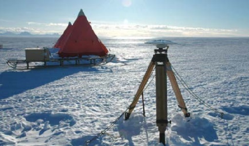
The key objective of the CryoSat Validation Experiment Antarctica (CryoVExAnt) campaign is a better approximation of the error range of the elevation obtained from SAR-processed altimetric radar returns and its sensitivity to surface roughness.
Campaign
CryoVExAnt 2010/2011
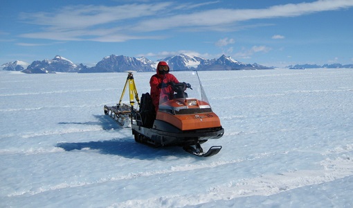
The CryoVEx 2010/2011 Antartic campaign was carried out in Dronning Maud Land from 11 November 2010 to 20 February 2011.
Campaign
CryoVEx 2011
The aims of the CryoSat Validation Experiment (CryoVEx) 2011 was to study the snow and ice characteristics of Arctic sea ice and its snow cover.
Campaign
CryoVExAnt 2014/2015
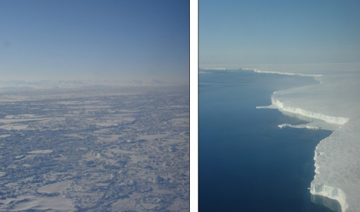
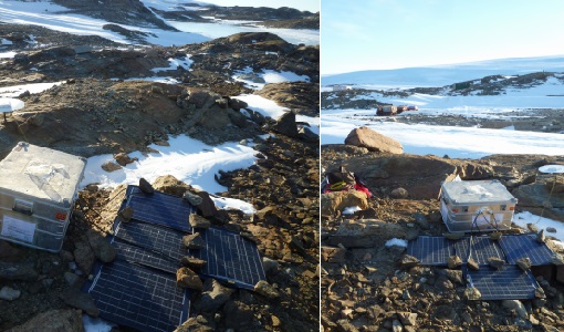
The aim of CryoVEx Ant 2014 to 2015 was to perform altimeter measurements at a designated validation site in the vicinity of the Schirmacher Oasis, near Kohnen and Neumayer as well as in the Pine Island Glacier drainage basin.
Document - Product Document

cryosat-magnetic-data-calibration-method.pdf
Description of CryoSat magnetometer data calibration and data description
News - Data Release news

CryoSat Ocean Baseline C reprocessed 2015 data available
The reprocessed CryoSat Ocean Baseline C data for all of 2015 is available to download from the Science Server.