- All Categories (23653)
- Data (27)
- News (122)
- Missions (1)
- Events (16)
- Tools (15)
- Activities (4)
- Campaigns (24)
- Documents (23444)
TOOLS & TOOLBOXES
Find the tools you need to visualise, analyse and process the European Space Agency's Earth observation data.
Tools - Catalogues
21 Mar 2024CS2EO
CS2EO is a data catalogue that allows users to easily and quickly combine and download airborne and spaceborne altimetry data from CryoSat-2, ICESat-2, CryoVEx, IceBridge and CryoTEMPO-EOLIS.
Tools - Apps
18 Dec 2023Earth Online Visuals
The Earth Online Visuals app displays interactive 3D models of ESA’s Earth Explorers and the Envisat and GOCE Heritage satellites. The models detail the mission payloads and where the instruments are placed on the satellites.
Tools - Catalogues
 21 Oct 2022
FedEO
FedEO is a data catalogue that provides a unique entry point to a number of scientific catalogues and services for, but not limited to, European and Canadian missions.
Tools - Catalogues
 21 Oct 2022
EO CAT
EO CAT is a data catalogue, offering a Next Generation Earth Observation system designed to manage end-user Earth Observation services.
Tools - Apps
 21 June 2021
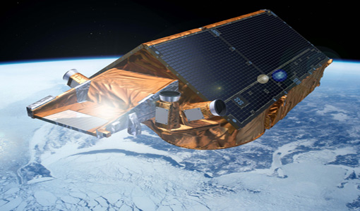
CryoSat app for Android
Download the CryoSat application to discover what the mission is about, how it works and what the elements of the space and ground segment that makes this mission unique are.
Tools - Apps
21 June 2021CryoSat app for iPad
Download the CryoSat application to discover what the mission is about, how it works and what the elements of the space and ground segment that makes this mission unique are.
Tools - Apps
21 June 2021CryoSat app for iPhone
Download the CryoSat application to discover what the mission is about, how it works and what the elements of the space and ground segment that makes this mission unique are.
Tools - Other
 8 Feb 2021
Hydrology TEP
The Hydrology Thematic Exploitation Platform (TEP) enables access, processing, uploading, visualisation, manipulation and comparison of hydrological data.
Tools - Other
 8 Feb 2021
Polar TEP
The Polar Thematic Exploitation Platform (TEP) enables access, processing, uploading, visualisation, manipulation and comparison of data over the polar regions.
Tools - Analysis
 1 Oct 2019
VtCryoSat
VtCryoSat is a tool for easily browsing and downloading CryoSat products through an interactive and graphical web interface.
Tools - Visualisation
 19 June 2019
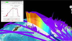
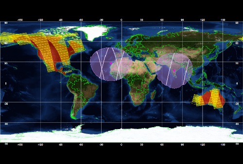
ESOV Software Tools (ESOV NG)
ESOV tool provides the means to visualise instrument swaths of all ESA EO Satellites, assist in understanding where and when satellite measurements are made and ground contact is possible.
Tools - Other
 12 June 2019
CryoSat Software Routines
These software ingestion routines, written in ANSI C and IDL, can be used to read Level-1 and Level-2 CryoSat products.
Tools - Other
 12 June 2019
Broadview Radar Altimetry Toolbox
BRAT is an extensive tutorial on what is altimetry, techniques used and examples of usage of data; plus software to read, process and visualise altimetry data.
Tools - Other
 10 June 2019
CryoSat Matlab routines
The CryoSat Matlab routines read the Level 1, Level-2 and Level-2I CryoSat products.
Tools - Visualisation
 4 Mar 2019
CryoSat User Tool
CUT is a Windows stand-alone application for displaying and downloading CryoSat products from remote FTP servers or from local directories.