- News
- Three new Third Party Missions...
Three new Third Party Missions under evaluation
29 Jul 2019
In the framework of the Earthnet programme, ESA and its Member States continue to stimulate global cooperation between space actors around activities aiming to acquire and share resources and knowledge on our planet for the benefit of all citizens.
Recently, it was decided to continue the data assessment of three constellations:
These missions are considered as Third Party Missions under evaluation. On the one side, the evaluation will tackle cal/val activities and assess the products specifications. This analysis will be performed in the framework of the Earthnet Data Assessment Pilot (EDAP).
On the other side, the evaluation will also allow any interested user to investigate the suitability of the data for scientific and R&D activities. Requests for data can be submitted to ESA and specific dedicated news will be published soon to inform all interested users about the procedure.
Giuseppe Ottavianelli, Earthnet programme manager, explains: "It will be key to increase knowledge about the data quality of these constellations and to foster data interoperability. The activity will also raise awareness about the potential for scientific studies and new EO applications"
ICEYE constellation
ICEYE is building an X-band SAR satellite constellation with the objective to provide near real time monitoring capability, reaching revisit times of as low as only a few hours globally. ICEYE developed and successfully launched the first and smallest SAR microsatellite ICEYE-X1 in January 2018 and the second satellite ICEYE-X2 in December 2018.
A total of 5 SAR units are to be launched throughout 2019. As the ICEYE SAR satellite constellation grows, Iceye continues to provide imaging from it's units in operation right now.
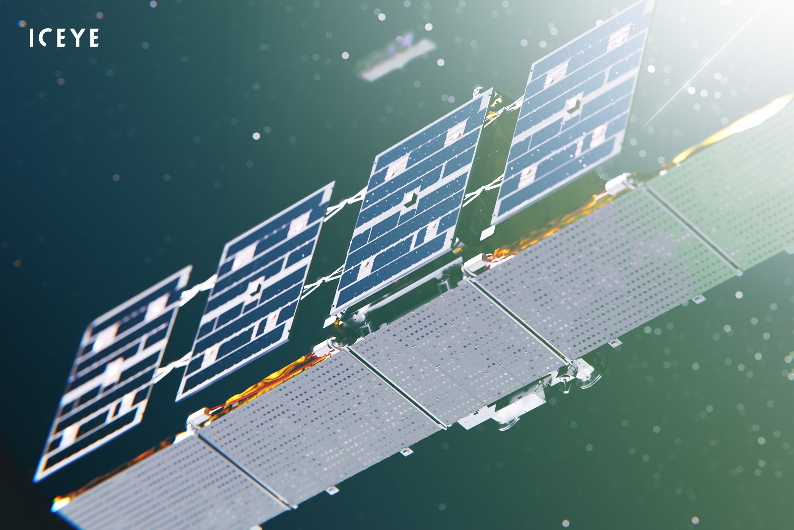
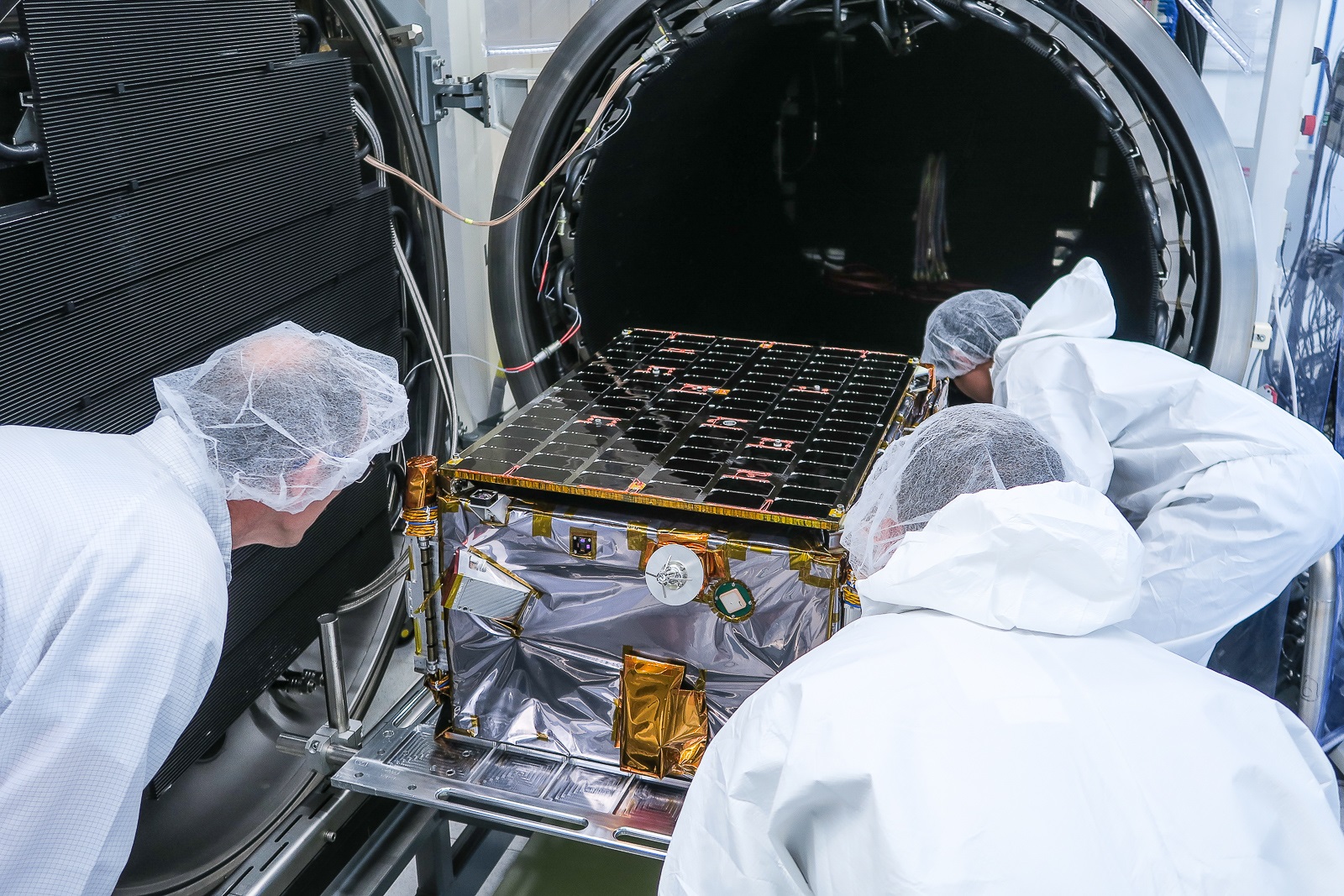

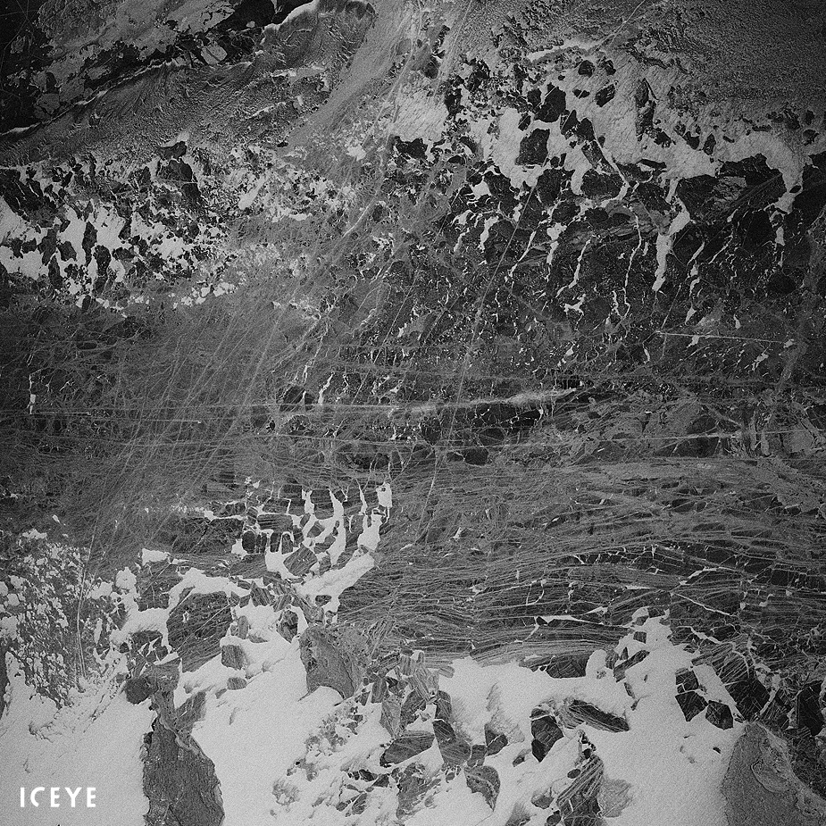
All images copyright ICEYE
Planet constellations
Through the acquisition of Blackbridge, the company Planet Labs, Inc. is already providing data for the five Rapideye satellites as a Third Party Mission Owner (TPMO). Planet Labs, Inc. is an integrated aerospace and data analytics company and has launched more than 300 satellites to space.
Currently it operates five RapidEye satellites, 122 Dove satellites (i.e. PlanetScope), and 15 SkySat satellites. The Dove data is collected in four bands and depending on the satellite flock and orbit, the ground sampling distance varies between 3 to 4 metres. The SkySat payload have
Four multi-spectral bands and an additional panchromatic band, producing products with a ground sampling distance that varies from 0.72 to 1 meter. Further launches of Planet satellites are planned in 2019 with enhanced payload capacities.


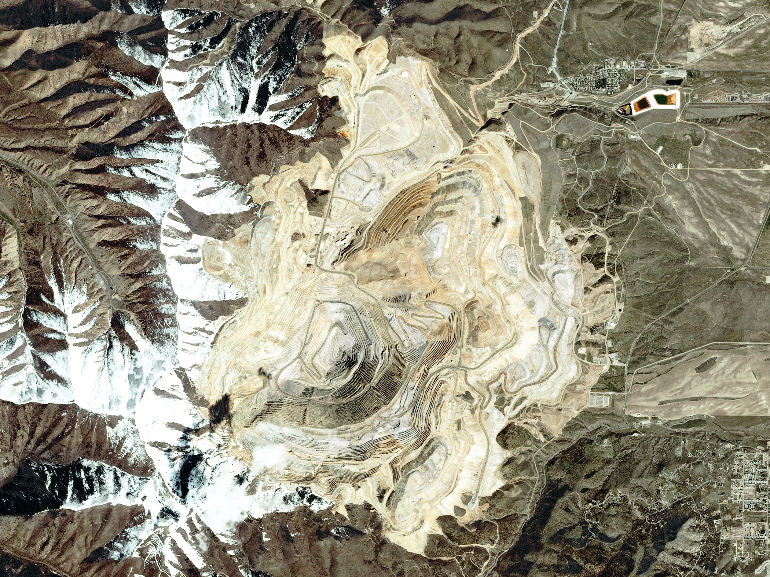

All images copyright Planet Labs, Inc
Spire constellation
Spire first began launching satellites in August of 2013 and has so far completed 20 launch campaigns with more than 70 satellites in orbit and another 30 satellites that have already reached their lifetime and naturally de-orbited.
All of Spire's satellites have three or more on-board software defined radio payloads. Spire constellation supports Automatic Identification System (AIS) and Automatic Dependent Surveillance-Broadcast (ADS-B).
Beyond the commercial aspects, the Spire constellation and datasets also have a strong research potential presenting important scientific information, especially related to atmospheric, ionospheric, climate, and ocean characteristics. This is achieved with the products of GNSS-Radio Occultation, Total Electron Content (TEC), Ionsopheric Scintillation Indices, Magnetometer Data, GNSS-Reflectometry (GNSS-R).

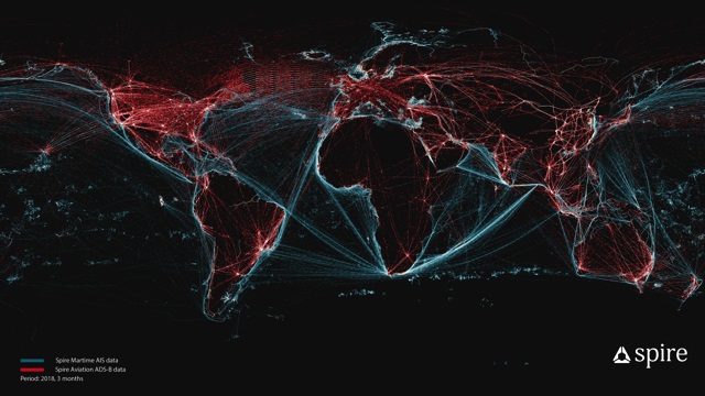
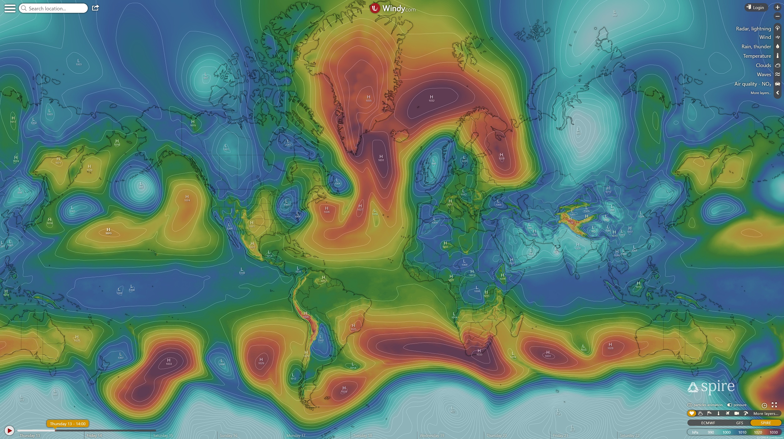
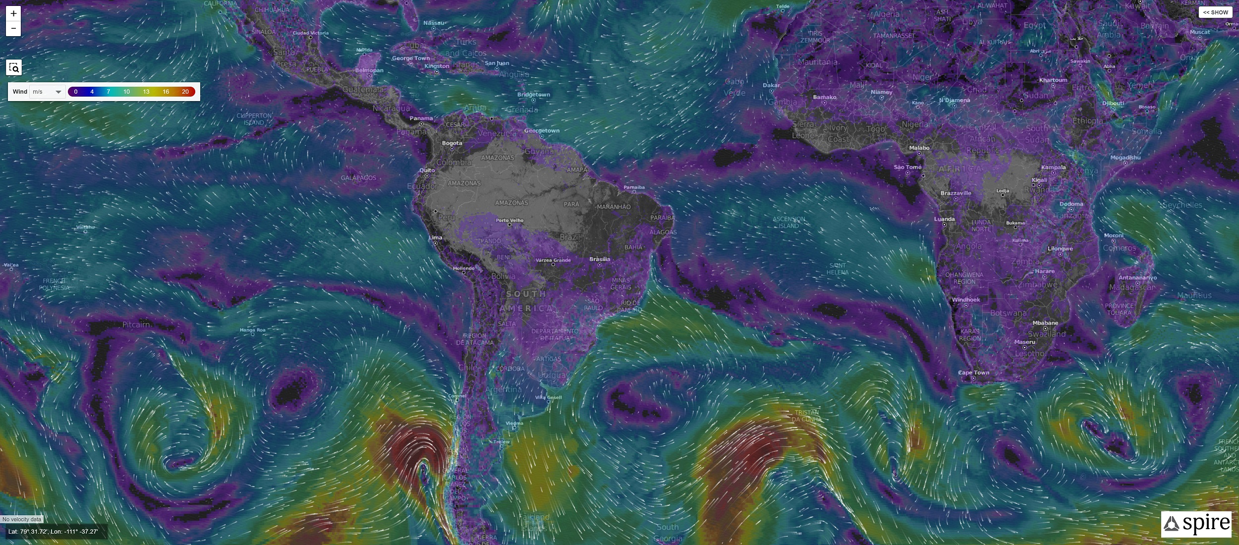
All images copyright Spire