- Activities
- Multi-Approach Gravity Field m...
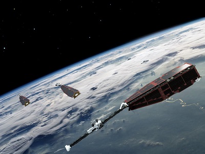
Multi-Approach Gravity Field models from Swarm GPS data
Overview
The Multi-Approach Gravity Field models from Swarm GPS data (MAGF) is a project in response to the Swarm DISC (Data, Innovation and Science Cluster) ITT 1.1 "Swarm as a gravity field mission".
Although the knowledge of the gravity of the Earth has improved considerably with CHAMP, GRACE and GOCE satellite missions, the geophysical community has identified the need for the continued monitoring of its time-variable component with the purpose of estimating the hydrological and glaciological yearly cycles and long-term trends. Currently, the GRACE-FO satellites are the sole provider of this data, while previously the GRACE mission collected this data for 15 years. Between the GRACE and GRACE-FO data periods lies a gap spanning from July 2017 to May 2018. Since December 2013, the Swarm satellites have collected gravimetric data with its GPS receivers.
This project aims to provide high-quality gravity field models from Swarm data that constitute an alternative and independent source of gravimetric data, which could help alleviate the consequences of the 10-month gap between GRACE and GRACE-FO, as well as the short gaps in the existing GRACE and GRACE-FO monthly time series.
The geodetic community has realised that the combination of the different gravity field solutions is superior to any individual model. This project exploits this fact and delivers to the highest quality monthly-independent gravity field models, resulting from the combination of four different gravity field estimation approaches. All solutions are unconstrained and estimated independently from month to month.
Preliminary comparison with GRACE data has demonstrated that the signal in the Swarm gravity field models is restricted to degrees 12-15 and below, while the temporal correlations decrease considerably above degree 10. The 750 KM smoothed models are suitable to retrieve the global annual temporal variations of Earth's gravity field and the agreement with GRACE over large basins (e.g. Amazon, Congo-Zambezi, Ganges-Brahmaputra) is within 1 CM RMS in terms of Equivalent Water Height. The global RMS relative to a bias, trend, an annual and semi-annual model derived from GRACE over deep ocean areas (those roughly 1,000 KM from shorelines) is under 1 MM geoid height during periods of low geomagnetic activity.
Documentation
Download project documents:
- Swarm MAGF product description
- Swarm MAGF processing algorithm description
- Swarm MAGF validation report
- Swarm MAGF standards and background models
More information about MAGF project
This project was funded in 2017 by ESA via Swarm DISC, Sub-Contract No. SW-CO-DTU-GS-111.
Related Mission
find out more