- Activities
- FRM4ALT: Fiducial Reference Me...
FRM4ALT: Fiducial Reference Measurements for Altimetry
Overview
Fiducial Reference Measurements (FRM) are a suite of independent, fully characterized, and traceable ground measurements that follow the guidelines outlined by the GEO/CEOS Quality Assurance framework for Earth Observation (QA4EO). These FRM provide the maximum Return On Investment (ROI) for a satellite mission by delivering, to users, the required confidence in data products, in the form of independent validation results and satellite measurement uncertainty estimation, over the entire end-to-end duration of a satellite mission. Within this context, the SPPA team manages a series of projects targeting the validation of ESA altimetry, atmosphere, land, and ocean products.
Precise measurements of the surface topography of the ocean, and of continental waters are made through satellite altimetry missions all over the globe. An orbiting satellite emits electromagnetic waves to the surface of the Earth. Then the satellite observes and processes the reflected signals, their time of arrival, and their properties. From these altimetric observations, the range from the satellite to the earth surface, as well ocean wave heights and wind measurements can be determined precisely. Combined with precise satellite location data, altimetry measurements yield sea-surface heights that are used to estimate sea-level changes, the circulation of the ocean, significant wave heights, sea ice freeboard and a variety of other parameters of relevance to Earth science and climate change.
Related Mission
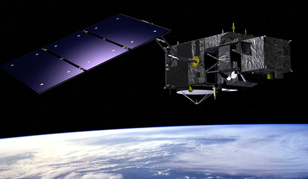
The Copernicus Sentinel 3 SENTINEL-3 is an European Earth Observation satellite mission developed to support GMES ocean, land, atmospheric, emergency, security and cryospheric applications.The mission provides data continuity for the ERS, ENVISAT and SPOT satellites
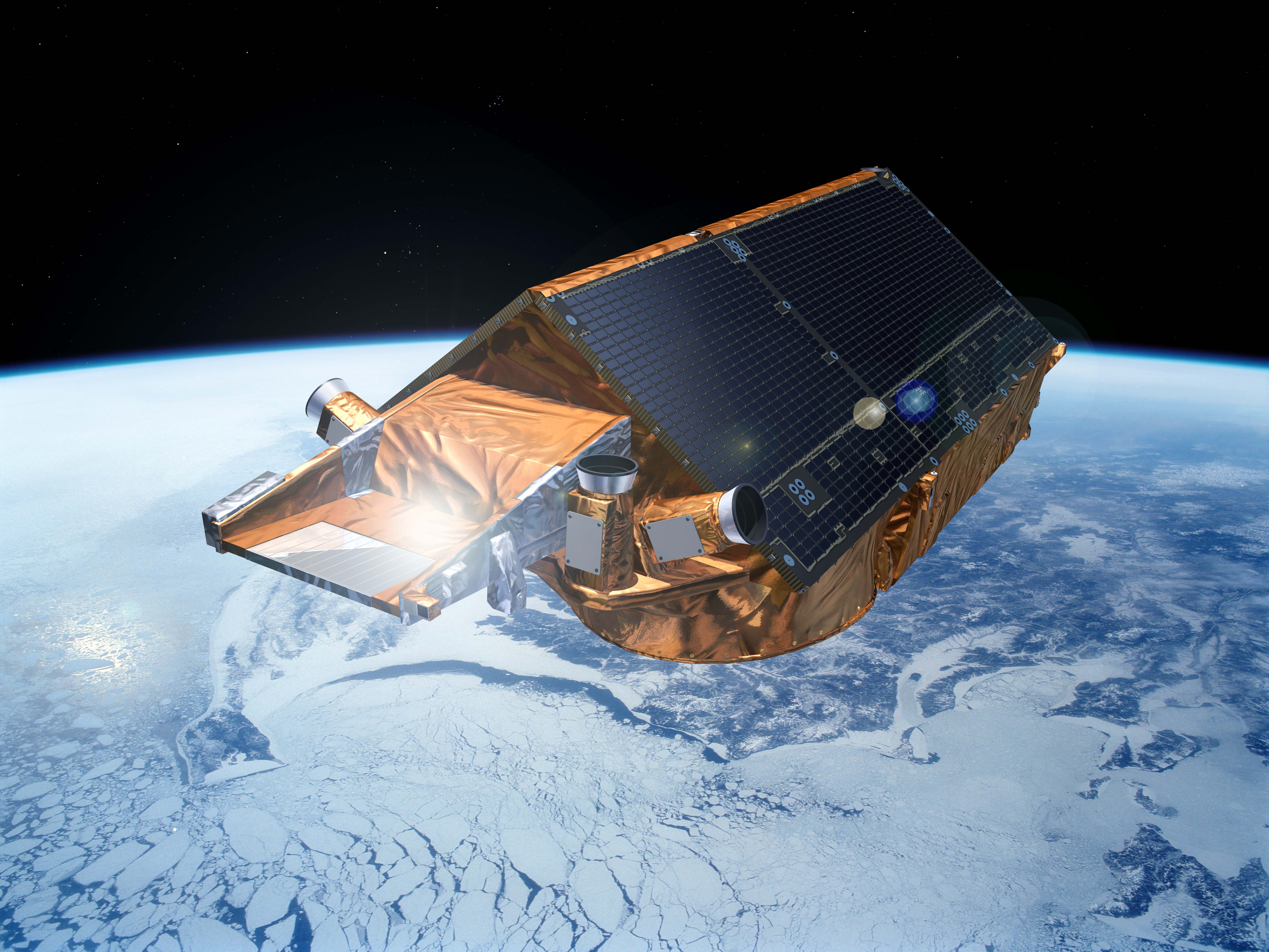
The aim of the CryoSat mission is to determine variations in the thickness of the Earth's continental ice sheets and marine ice cover. Europe's first ice mission is an advanced radar altimeter specifically designed to monitor the most dynamic sections of Earth's cryosphere.